
Block Management in Porthleven
Waves overwhelmed the harbour defences in 2014, and radon is class 6 everywhere.
Our offer in Porthleven is full block, estate and leasehold management for residents' management companies, RTM companies and freeholders. The council has recorded waves overtopping the harbour defences, with five properties flooded in January 2014, and the Methleigh Stream flooding three in December 2012. All five kilometre squares over the town are radon class 6, and the conservation area covers 22.5 per cent of it.
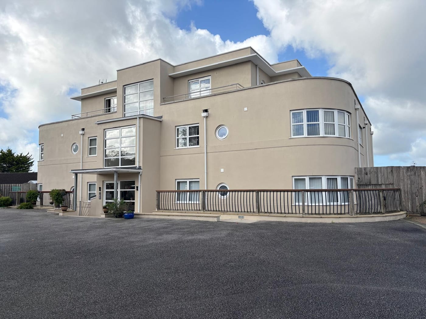
What We Would Put First for a Block in Porthleven
Inspect Exposed Metalwork on Harbour Blocks
The shoreline management plan holds the line at Porthleven, with undefended cliffs either side, and the harbour defences were completely overwhelmed in February 2014. For a block near the harbour we would schedule inspections of external metalwork and specify replacements for marine exposure.
Maintenance and repairsPlace Insurance with Wave Overtopping Disclosed
The council's statutory flood investigation records waves as a source at Porthleven, and no coast protection scheme for the town is on record. We would place insurance with that exposure disclosed and handle any claim through to settlement.
InsuranceBook Radon Measurement for Communal Areas
All five squares over Porthleven are class 6, where maximum radon potential exceeds 30 per cent of homes at or above the action level. We would arrange measurement in ground-floor communal areas and keep the results with the compliance record.
ComplianceConfirm the Consent Position with Cornwall Council
The conservation area covers 22.5 per cent of the built-up area, taking in much of the harbour and nineteenth century town, and the 2010 appraisal cannot currently be read online. We would confirm the consent position with the council before specifying external works.
ConsentsManaging a Block in Porthleven at a Glance
- Local authority
- Cornwall Council
- Authority type
- Unitary
- Building control
- Cornwall Council Building Control
- County
- Cornwall
- Fire and rescue service
- Cornwall Fire and Rescue Service
- Water and sewerage
- South West Water
- From our Plymouth office
- About 56 miles in a straight line
- Setting
- Coastal
What It Costs to Move a Block in Porthleven to Us
Management is a fixed annual fee, quoted for the building and agreed before we start. We take no commission and no third-party incentives, so the fee is the whole of what we earn from the building. Taking a block on carries a one-off start-up fee, set by size:
| Block size | Fee |
|---|---|
| Start-up fee, up to 10 units | £420.00 |
| Start-up fee, up to 25 units | £540.00 |
| Start-up fee, 50 units and above | £660.00 |
Taken from our published Additional Services price list, PBM Form #01-27 rev.6, effective 23 June 2025. All fees quoted are inclusive of VAT. See the full price list and how a handover works.
Shoreline Policy Holds the Line at the Harbour
The shoreline management plan names a policy unit for Porthleven itself, in the Mounts Bay East policy development zone. It holds the line in all three epochs, with undefended cliffs within a metre either side. The council's own flood investigation for January 2014 records that the harbour defences at Porthleven were completely overwhelmed. Harbourside blocks take direct salt and spray, so external metalwork, render and windows need frequent inspection and replacements specified for marine exposure.
Standards classify a high-salinity coastal atmosphere as C5-M, very high marine, in which unprotected steel loses more than 80 micrometres of thickness in its first year against as little as 1.3 inland. Balustrades, railings, fixings and walkway structures are what that costs a Porthleven block, so we survey them on a shorter interval and fund the reserve fund from what the surveys find.
Fewer Conversions Than Similarly Sized Mevagissey
At the 2021 Census the division covering the town held 3,086 households, with 160 flats in purpose-built blocks, 40 in a converted or shared house, 11 in another converted building and 17 over commercial premises. The division is substantially larger than the town, taking in Breage and Germoe. The census output areas inside the built-up area hold 1,456 households. Of these, 143 are in purpose-built blocks, 9.8 per cent, 28 in a converted or shared house, six in another converted building and 13 over commercial premises, 0.9 per cent. Mevagissey is a harbour town of almost identical built-up area, 0.925 against 0.912 square kilometres. Yet Porthleven's combined converted and commercial stock is 3.2 per cent against Mevagissey's 9.5. Most Porthleven flats are in purpose-built blocks, with few conversions or flats over shops.

Waves and the Methleigh Stream Have Both Flooded Properties
Porthleven floods from both the sea and the Methleigh Stream. Three Environment Agency areas contain part of the built-up area. The south Cornwall coast warning area from Land's End to Lizard Point, excluding Mounts Bay, names Porthleven Harbour as its first location, alongside Mousehole, Praa Sands and Mullion Cove. It covers 4.1 per cent of the town. Its parent alert covers the same share and the West Cornwall Rivers alert covers 9.0 per cent. The River Cober area, covering the Loe Valley and Helston, comes within 940 metres of the town and does not touch it. Flood zone 3 covers 6.5 per cent of the built-up area and the town is a priority community in the council's strategy. The council's section 19 investigations record waves as a source. On 3 January 2014, exceptionally high tides combined with swell from a low pressure system overtopped the defences along the western side of the harbour. Five properties flooded, and at least one had flooded internally within the previous five years. During the storms of 1 to 5 February that year the harbour defences at Porthleven were completely overwhelmed. Repairs to damaged sea defences across Cornwall after that winter were put at over 21 million pounds. On 22 December 2012 the Methleigh Stream broke out of bank at the road bridge below the sewage works and flooded three properties. No named, dated or costed coast protection scheme is on record for the town, and Porthleven is not among the frontages covered by the Mounts Bay Coastal Resilience Strategy. For a harbourside block, insurance should be placed with wave overtopping disclosed.
A Conservation Area Protecting Harbour Character, Not Listings
Porthleven has one conservation area, designated on 28 February 1978 with no boundary amendment recorded. It covers 22.5 per cent of the built-up area. The appraisal and management strategy of March 2010, endorsed by the council on 24 April 2010, describes the boundary as encompassing much of the harbour and the nineteenth century town. Cornwall Council publishes it, although the link held in the national register does not work. Historic England's list holds 28 entries in the built-up area, of which one is grade II star, the Methodist church on Fore Street. The appraisal lists the harbour walls among the grade II entries. The designation covers nearly a quarter of the town while containing only 28 listed buildings. It protects townscape and harbour character rather than a dense body of individually listed buildings, so external works to unlisted blocks inside it still need the consent position confirmed first.
28 entries on the National Heritage List fall inside the built-up area, a tightly bounded historic core. None is Grade I and one is Grade II*, the Methodist Church with its forecourt wall, railings and gateway, first listed in May 1990. The town's only higher-graded building is therefore a nonconformist chapel rather than an Anglican parish church. Listing should still be checked for any block before works are specified.
Every Square over Porthleven Is Radon Class 6
All five one-kilometre squares over the built-up area are class 6 of 6, the top band, covering 100 per cent of the town. The published wording is that maximum radon potential is greater than 30 per cent of homes at or above the action level. Radon measurement in ground-floor flats and communal areas belongs on every block's compliance plan.
A Made Neighbourhood Plan Since January 2022
Applications are decided under the Cornwall Local Plan and the Porthleven Neighbourhood Development Plan, made on 4 January 2022. The referendum on 18 November 2021 carried it by 438 votes to 47, 90.12 per cent in favour on a 19.62 per cent turnout. The 2010 appraisal recommends Article 4 directions for named streets, among them Peverell Road, Thomas Street, Cliff Road and Loe Bar Road. Cornwall Council's own Article 4 dataset records no direction covering the town. The neighbouring parish of Sithney had its neighbourhood area designated on 7 March 2019 but has no made plan. For blocks on the named streets, the council should be asked about the current position before external alterations are specified.
Service charge or accounts query? Email accounts@
Porthleven Questions
Is Porthleven Covered by the Mounts Bay Coastal Strategy?
No. Porthleven is not among the frontages covered by the Mounts Bay Coastal Resilience Strategy, and no named, dated or costed coast protection scheme is on record for the town. The shoreline management plan holds the line at Porthleven in all three epochs, within the Mounts Bay East policy development zone.
Does the River Cober Flood Warning Cover Porthleven?
No. The River Cober area, covering the Loe Valley and Helston, comes within 940 metres of the town and does not touch it. The areas that do contain part of Porthleven are the south Cornwall coast warning area, which names Porthleven Harbour first, its parent alert, and the West Cornwall Rivers alert, which covers 9.0 per cent of the town.
How Much of Porthleven's Housing Is Flats?
Of 1,456 households inside the built-up area at the 2021 Census, 143 were in purpose-built blocks, 9.8 per cent, with 28 in a converted or shared house, six in another converted building and 13 over commercial premises. The combined converted and commercial share is 3.2 per cent, against 9.5 per cent in Mevagissey, a harbour town of almost identical size.
Nearby Areas
Talk to Us About Your Building in Porthleven.
A free, no-obligation proposal, written so it can be circulated to a board.