
Block Management in Radstock
Top-band radon on former Somerset coalfield ground.
We take on the full management of blocks in Radstock for residents' management companies, RTM companies and freeholders, from budgets and accounts to major works. Seventeen of the twenty five squares around the town are radon class 6 and the rest class 5. Two Environment Agency warning areas name streets and the Coombend culvert, and 84 per cent of flats are purpose-built.
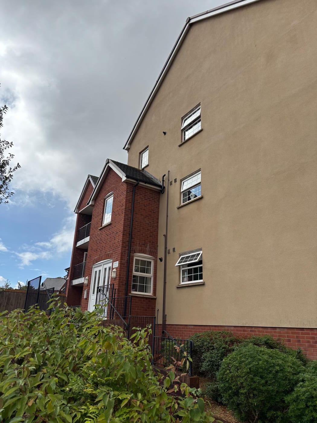
What We Would Put First for a Block in Radstock
Measure Radon at Ground Level and Risers
With seventeen squares at class 6 and none below class 5, we would recommend radon measurement in ground floor flats' communal areas, basements and communal risers, and check any works that alter ventilation paths before they are specified.
ComplianceReview Flood Cover Near Coombend
Warning areas name Mill Road, the Coombend culvert and Market Place, Fortescue Road, Waterloo Road and Pine Court. With no flood alleviation scheme in the town, we would review flood cover at placement for a block in those areas.
InsuranceKeep Grade II Consents Proportionate
All 24 listed entries in the parish are Grade II, including the Market Hall and the Waldegrave Arms Hotel. Where a block involves a listed building we would obtain consent before specifying works, generally a more proportionate exercise than for higher grades.
ConsentsPlan Reserves for Purpose-Built Blocks
Purpose-built blocks hold 380 of the Radstock ward's 451 flats. For a block of that kind we would build the reserve fund around planned maintenance and run Section 20 consultation when major works fall due.
Reserve fundsManaging a Block in Radstock at a Glance
- Local authority
- Bath and North East Somerset Council
- Authority type
- Unitary
- Building control
- Bath and North East Somerset Council Building Control
- County
- Somerset
- Fire and rescue service
- Avon Fire and Rescue Service
- Water and sewerage
- Bristol Water for supply and Wessex Water for sewerage
- From our Plymouth office
- About 97 miles in a straight line
- Setting
- Inland
What It Costs to Move a Block in Radstock to Us
Management is a fixed annual fee, quoted for the building and agreed before we start. We take no commission and no third-party incentives, so the fee is the whole of what we earn from the building. Taking a block on carries a one-off start-up fee, set by size:
| Block size | Fee |
|---|---|
| Start-up fee, up to 10 units | £420.00 |
| Start-up fee, up to 25 units | £540.00 |
| Start-up fee, 50 units and above | £660.00 |
Taken from our published Additional Services price list, PBM Form #01-27 rev.6, effective 23 June 2025. All fees quoted are inclusive of VAT. See the full price list and how a handover works.
Not One Square Near Radstock Falls Below Class 5
The town centre is class 6, the top band on the scale. The published wording is that maximum radon potential is greater than 30 per cent of homes at or above the action level, and radon measurement is advised. Across the twenty five squares covering the area, seventeen are class 6 and the other eight are class 5 at 10 to 30 per cent. Not one square anywhere near Radstock falls below class 5. This is former Somerset coalfield ground and the geology drives it. For block management it bears directly on ground floor flats, basements, communal risers and any work that alters ventilation paths. The right response is measurement rather than assumption.
Purpose-Built Blocks Make Up 84 Per Cent of Flats
The Radstock ward held 2,554 households at the 2021 Census with 451 in flats, 17.7 per cent. Of these, 380 were in purpose-built blocks, 26 in a converted or shared house, 32 in another converted building and 13 over commercial premises. At 84 per cent of all flats the purpose-built share is high, so this is a blocks town. The ward is normally sized for the district at around 2,500 households, so these figures describe the town well. Purpose-built blocks call for reserve funds built around planned maintenance, with statutory consultation when major works fall due.
A Named Culvert Sits Inside Radstock's Flood Warning Area
Radstock's flood risk is inland and fluvial, on the Wellow Brook and the River Somer, within the Midford Brook catchment alert area. Two Environment Agency warning areas name Radstock streets explicitly. The first names Mill Road, and separately the Coombend culvert including Coombend and the Market Place, alongside the Snails and Kilmersdon Brooks at Church Street. The second names Fortescue Road, Waterloo Road, Pine Court and the Mill Road industrial estate, with the River Somer at Riverside, Steam Mills and St Chads Green. A named culvert in a flood warning area deserves attention, because culverted watercourses fail differently from open ones. The failure is sudden, it is often a blockage rather than a river level, and it surfaces where the capacity runs out rather than along a mapped floodplain. No flood alleviation scheme exists for the town. No Environment Agency completed or current capital project falls within eight kilometres, and there is no flood storage area recorded at Radstock. For blocks on the named streets, flood cover should be reviewed at each insurance placement.
Every Listed Building in Radstock Is Grade II
Radstock has one conservation area, covering the town together with Braysdown and Clandown, designated 25 March 1999. It is one of 35 across Bath and North East Somerset. The council published a 23 page conservation area assessment in 1999 and nothing since. There is no management plan and no appraisal reflecting the last quarter century of change in the town. External works to a block inside the area need early discussion with the council on materials and detailing.
24 entries on the National Heritage List fall inside the parish and every one is Grade II. There is no Grade I and no Grade II* building anywhere in Radstock. That has a practical effect: consent for works to a Grade II building is a different and generally more proportionate exercise than for a higher-graded one. The listed stock includes the Market Hall, the Waldegrave Arms Hotel, the Church of St Nicholas and the war memorial, which was listed relatively recently on 10 May 2018.

No Article 4, and Bath's HMO Direction Stops at Bath
Applications are decided under three adopted documents: the Core Strategy adopted 10 July 2014, the Placemaking Plan adopted 13 July 2017 and the Local Plan Partial Update adopted 19 January 2023. The emerging Local Plan for 2022 to 2042 is at an early stage and was reset after the December 2024 changes to national policy. Radstock has its own town centre strategic policy alongside the wider Somer Valley strategy. The Placemaking Plan allocates the Charlton timber yard, the former county infants school and the former St Nicholas School. A neighbourhood plan has been submitted but is not made. It has reached the stage before publication consultation, and no referendum has been held. A draft Somer Valley design code was targeted for adoption around February 2026, without confirmation that it happened. There is no Article 4 direction in Radstock, and the district's Article 4 direction on houses in multiple occupation applies to Bath only. The additional planning control that catches out landlords in Bath therefore does not operate here, although letting within a block is still governed by its leases.
Service charge or accounts query? Email accounts@
Radstock Questions
Why Is Radon So High in Radstock?
This is former Somerset coalfield ground and the geology drives it. The town centre is class 6, where the maximum radon potential is greater than 30 per cent of homes at or above the action level, and measurement is advised. Seventeen of the twenty five squares are class 6 and the other eight class 5, so no square near the town falls below class 5.
Why Does a Culvert Matter for Our Radstock Block's Flood Risk?
The Coombend culvert, including Coombend and the Market Place, is named in a flood warning area. Culverted watercourses fail differently from open ones: the failure is sudden, often a blockage rather than a river level, and it surfaces where capacity runs out rather than along a mapped floodplain. No flood alleviation scheme exists for the town.
Does Radstock Have a Neighbourhood Plan?
Not a made one. A plan has been submitted and has reached the stage before publication consultation, with no referendum held. Decisions rest on the Core Strategy of 10 July 2014, the Placemaking Plan of 13 July 2017 and the Local Plan Partial Update of 19 January 2023, with Radstock's own town centre strategic policy alongside.
Nearby Areas
Talk to Us About Your Building in Radstock.
A free, no-obligation proposal, written so it can be circulated to a board.