
Block Management in Street
Class 5 radon over 91 per cent of the town, and no lowest-band ground
We take on block and estate management in Street for RMCs, RTM companies and freeholders, with fixed fees and a complete compliance record. Eight of the eleven radon squares over the town are class 5, covering 91 per cent of it by area, and measurement is advised. River flooding touches only the moor edge and routes out, such as Street Drove and the A39 toward Glastonbury.
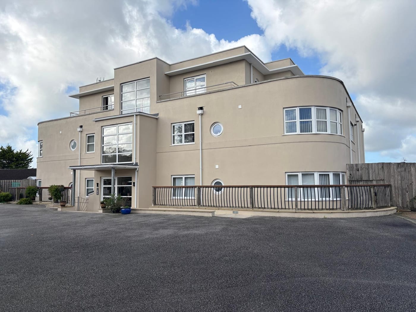
What We Would Put First for a Block in Street
Measure Radon in Every Block
Class 5 covers 91 per cent of Street and the remaining squares are class 4, with measurement advised at the town centre. We would recommend radon measurement in communal areas and ground-floor spaces of any block, and record results in the compliance file.
ComplianceConfirm Which Half of the Conservation Area
The conservation area is in two parts, the High Street area to the north and Middle Leigh and Overleigh to the south. There is a gap between them, so a site can sit outside it. We would check the boundary and any listing before specifying external works.
ConsentsGive Insurers the Actual Flood Picture
No Environment Agency warning area names a street inside built-up Street; the named places are Street Drove, Street Heath and the A39 toward Glastonbury. We would present that evidence to insurers when placing cover for a block in the town.
InsuranceManaging a Block in Street at a Glance
- Local authority
- Somerset Council
- Authority type
- Unitary
- Building control
- Somerset Building Control, the council's own service covering the four former district areas
- County
- Somerset
- Fire and rescue service
- Devon and Somerset Fire and Rescue Service
- Water and sewerage
- Wessex Water
- From our Plymouth office
- About 80 miles in a straight line
- Setting
- Inland
What It Costs to Move a Block in Street to Us
Management is a fixed annual fee, quoted for the building and agreed before we start. We take no commission and no third-party incentives, so the fee is the whole of what we earn from the building. Taking a block on carries a one-off start-up fee, set by size:
| Block size | Fee |
|---|---|
| Start-up fee, up to 10 units | £420.00 |
| Start-up fee, up to 25 units | £540.00 |
| Start-up fee, 50 units and above | £660.00 |
Taken from our published Additional Services price list, PBM Form #01-27 rev.6, effective 23 June 2025. All fees quoted are inclusive of VAT. See the full price list and how a handover works.
Class 5 Radon Covers 91 Per Cent of Street
High, and consistently so. The town centre returns class 5, a maximum radon potential of 10 to 30 per cent of homes at or above the action level, and radon measurement is advised. Of the eleven one-kilometre squares covering the built-up area, eight are class 5 and cover 91 per cent of the town by area. The remaining three are class 4, at 5 to 10 per cent. There is no lowest-band ground anywhere in the town. Every block here should have radon measured in ground floor flats and communal areas, with results kept on the compliance record.
Most Flats Are in Purpose-Built Blocks
Street's ward and its built-up area are the same 40 output areas, so the ward figures describe the town directly. There were 5,258 households at the 2021 Census with 769 in flats, 14.6 per cent. These were made up of 592 in purpose-built blocks, 109 in a converted or shared house, 28 in another converted building and 40 over commercial premises. That is above the Somerset average of 12.7 per cent and below the England average of 22.2 per cent. Most flats are in purpose-built blocks, while converted houses need their lease plans and repairing responsibilities checked before budgets are set.
River Flooding Stays at the Moor Edge, Not in Town
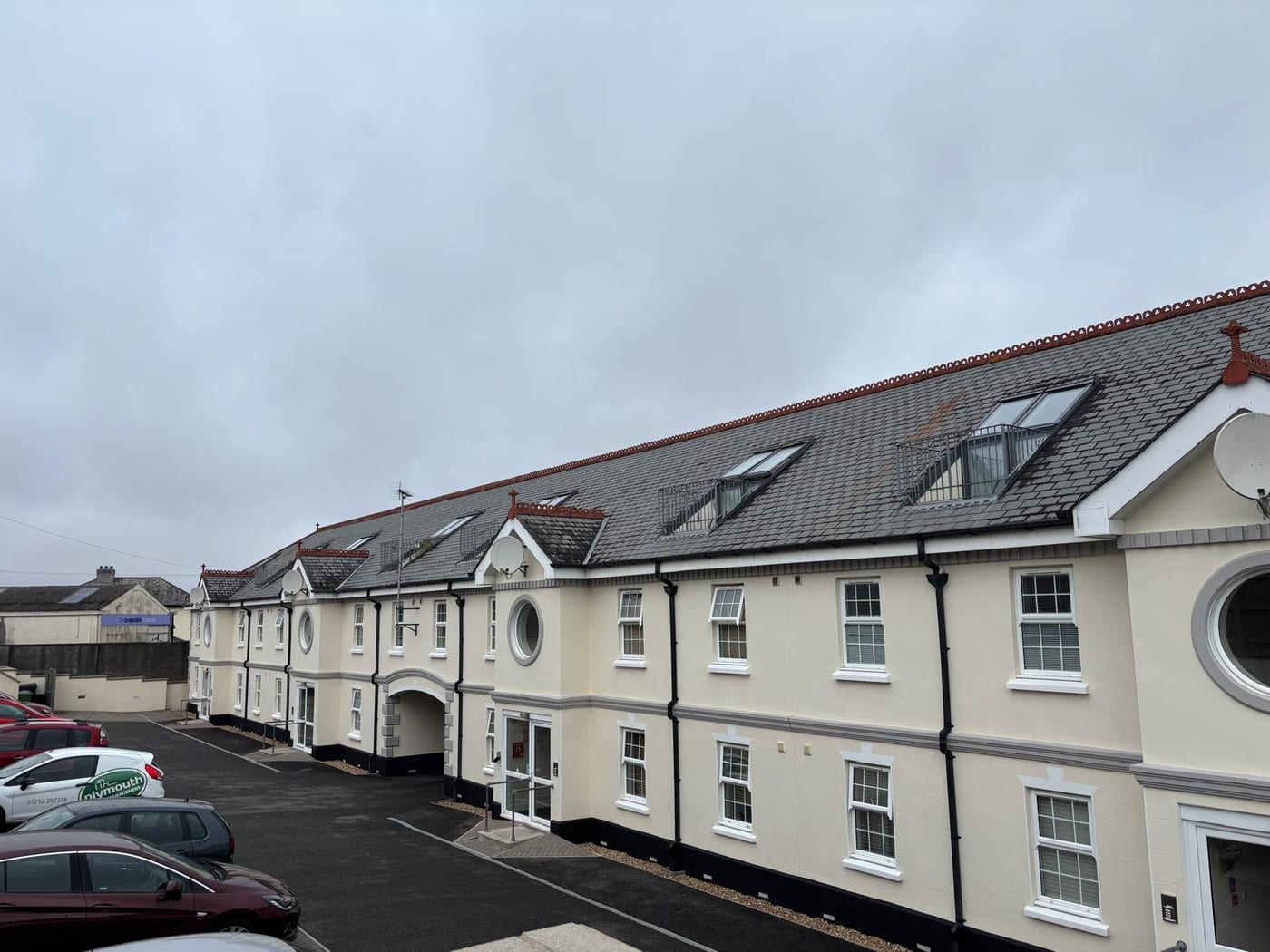
Fluvial on the Brue and the Glastonbury Millstream, and the warning areas clip the edge of the town rather than covering it. The East Somerset Rivers alert overlaps 2.1 per cent of the built-up area and the main Brue warning area 0.7 per cent. A second warning area touches the boundary without covering any of it. What they name at Street is Street Drove, Street Heath and the A39 between Street and Glastonbury, which are peripheral features and moorland roads rather than residential streets. No Environment Agency warning area names a street inside the built-up town. The nearest tidal area stops 877 metres short of the built-up area. For a block here, river flooding is a question about the moor edge and the routes out of town, and insurers should be given that picture.
A Listed Clarks Frontage and a Two-Part Conservation Area
One conservation area, first designated in 1984 by Mendip District Council, according to the council's own appraisal. The national dataset records 2008, but that is the date of the appraisal and the revised boundary. The appraisal was endorsed by the council in April 2008 as a material planning consideration. The area is in two separate parts: the urban area to the north centring on the High Street, and the more rural Middle Leigh and Overleigh area to the south. There is a gap between them, so a site can sit between the two halves and be outside the designation entirely. The Clarks factory frontage, the High Street and the Wilfrid Road area are all inside the northern part. For a block, the boundary should be checked before external works are specified.
34 entries on the National Heritage List fall inside the parish, 22 of them inside the conservation area. One is Grade I, the Church of the Holy Trinity, and one is Grade II*, Ivythorn Manor. The rest are Grade II, and they include the things the town is known for. Among them are the main roadside frontage to the Clarks factory with its clock tower and water tower, Crispin Hall, the Friends Meeting House, Wilfrid Terrace, Greenbank Swimming Pool, the Street war memorial and the Buildings of Central Somerset mural. Strode College is not listed at all, and Beckery Chapel, which sits nearby, is in Glastonbury parish rather than Street. There are two scheduled monuments, a Roman villa and a section of medieval road south of Pomparles Bridge. A block in a listed building needs listed building consent for works that affect its character, and that consent should be in place before the works are specified.

A 400 Dwelling Allocation West of Brooks Road
Decided under the Mendip Local Plan: Part I adopted 15 December 2014, Part II adopted 20 December 2021, and the Part II limited update adopted 25 September 2025. The update allocates nine replacement housing sites, including in Street, after a judicial review deleted five allocations on 16 December 2022. Two Street sites sit in the adopted plans. One is off Street Lane, and the other is a strategic allocation of 400 dwellings west of Brooks Road on Clark Trust land, part of it inside a future growth area. There is no neighbourhood plan. The whole parish was designated as a neighbourhood area on 10 July 2017 under delegated powers, but nothing has been published since. The community plan the parish council publishes is a different document with no development plan status. There is no Article 4 direction; the schedule of directions covers Shepton Mallet, Wells, Glastonbury and Buckland Dinham but not Street. The council does not operate a community infrastructure levy in the former Mendip area. Consents for alterations to a block are tested against the Mendip Local Plan alone.
Service charge or accounts query? Email accounts@
Street Questions
When Was Street's Conservation Area Designated?
The council's appraisal states that Mendip District Council first designated it in 1984. The national dataset records 2008, but that is the date of the appraisal and the revised boundary, endorsed by the council in April 2008 as a material planning consideration. The Clarks factory frontage, the High Street and the Wilfrid Road area are all inside the northern part.
Is There a Neighbourhood Plan for Street?
No. The whole parish was designated a neighbourhood area on 10 July 2017, but nothing has been published since. The community plan the parish council publishes is a different document with no development plan status. Applications are decided under the Mendip Local Plan, including the Part II limited update adopted on 25 September 2025.
Which Buildings in Street Are Listed?
34 entries on the National Heritage List fall inside the parish, 22 within the conservation area. The Church of the Holy Trinity is Grade I and Ivythorn Manor Grade II*. Grade II entries include the Clarks factory frontage with its clock tower and water tower, Crispin Hall, Wilfrid Terrace and Greenbank Swimming Pool. Strode College is not listed at all.
Nearby Areas
Talk to Us About Your Building in Street.
A free, no-obligation proposal, written so it can be circulated to a board.