
Block Management in Tiverton
Mid Devon's highest count of properties at fluvial flood risk, on the Exe and Lowman.
Block management in Tiverton is available from Plymouth Block Management for residents' management companies, RTM companies and freeholders, including budgets, accounts and lease administration. On the Exe alone, 1,491 properties sit in flood zone 3, with Bridge Street, West Exe and Lowman Green named in warning areas. Radon, by contrast, reads low: nine of 920 homes measured in the four town wards were at or above the action level.
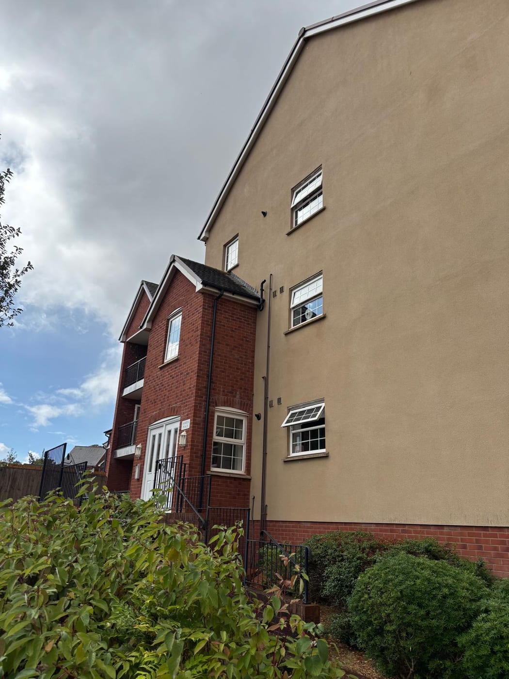
What We Would Put First for a Block in Tiverton
Place Insurance Against the Mapped Flood Zones
On the Exe, 1,491 properties sit in flood zone 3 and 1,786 in zone 2, with Kennedy Way, Bridge Street and West Exe named in warning areas. We would disclose the block's zone to insurers and manage any claim.
InsuranceSet Reserves with the Flood Record in Mind
Tiverton flooded in December 2000 and December 2012, and the Environment Agency estimates 1,000 to 2,000 properties at risk in an extreme event despite defences. For a block in a named warning area we would plan reserve contributions for flood repairs.
Reserve fundsBase Radon Advice on Ward Data
UKHSA data gives the four Tiverton wards nine exceedances in 920 homes measured, seven of them in Westexe. We would use the block's own ward position, not the EX16 figure that includes a rural sector, when advising on measurement.
ComplianceCheck Consents Near the Canal and Blundell's
The Tiverton conservation area was revised in 2005, Blundell's designated in 2014 and the Grand Western Canal area revised on 18 December 2024. We would confirm whether a block falls inside any of them before specifying external works.
ConsentsManaging a Block in Tiverton at a Glance
- Local authority
- Mid Devon District Council
- Authority type
- District, under the county council
- Building control
- Mid Devon District Council Building Control
- County
- Devon
- Fire and rescue service
- Devon and Somerset Fire and Rescue Service
- Water and sewerage
- South West Water
- From our Plymouth office
- About 47 miles in a straight line
- Setting
- Inland
What It Costs to Move a Block in Tiverton to Us
Management is a fixed annual fee, quoted for the building and agreed before we start. We take no commission and no third-party incentives, so the fee is the whole of what we earn from the building. Taking a block on carries a one-off start-up fee, set by size:
| Block size | Fee |
|---|---|
| Start-up fee, up to 10 units | £420.00 |
| Start-up fee, up to 25 units | £540.00 |
| Start-up fee, 50 units and above | £660.00 |
Taken from our published Additional Services price list, PBM Form #01-27 rev.6, effective 23 June 2025. All fees quoted are inclusive of VAT. See the full price list and how a handover works.
Mid Devon's Highest Number of Properties at Fluvial Risk
The council's strategic flood risk assessment records that Tiverton has the highest number of properties at risk from fluvial flooding in Mid Devon. On the Exe, 1,491 properties sit in flood zone 3 and 1,786 in flood zone 2. On the Lowman, 422 are in zone 3 and 578 in zone 2. Three Environment Agency warning areas name the streets. One Exe reach covers Kennedy Way, Bridge Street, West Exe and The Walronds. Another covers the high school, the hospital, the supermarket and the rugby and football grounds. On the Lowman, the area names Tiverton Business Park, Chapel Street, Station Road, Lowman Green, Blundells Road and Tumbling Fields. The agency records that the town flooded in 1692, 1757, 1795, 1809, 1866, 1875, 1884, twice in 1909, 1912, five times in 1960, in December 2000 and December 2012. It estimates 1,000 to 2,000 properties at risk in an extreme event despite existing defences. Walls along the A3126 and Exeter Road, St Andrew's Street, West Exe North and the Leat Street factory are maintained by the agency. The Lowman defences date from the mid 1980s and were upgraded in 2014. A block in a named warning area should disclose its flood zone to insurers and hold reserves for flood repairs.
Castle Ward Holds 101 of 246 Converted Flats
At the 2021 Census, across the four Tiverton wards, 997 of 9,829 households were in purpose-built blocks of flats. A further 246 were in a converted or shared house, 100 in another converted building and 103 over commercial premises. Castle ward carries the heaviest conversion stock, holding 101 of those 246. Converted houses need fire risk assessments suited to their layouts, and flats over shops need cover that reflects the commercial unit below.

The Grand Western Canal Area Reaches Tidcombe Hall
Two areas cover the town, and a third reaches into it. Tiverton was designated in February 1973, extended on 14 July 1992 and revised on 15 June 2005. Blundell's was designated on 3 September 2014. The Grand Western Canal conservation area, first designated in October 1994 and revised on 18 December 2024, extends into the northern part of the Tidcombe Hall site. The district has 51 conservation areas in all. A block needs its position checked against all three before external works are specified.
Radon Is Lower Than the EX16 Figure Suggests
Low, and lower than the postcode district suggests. UKHSA's 2016 data report gives the four Tiverton wards a combined 920 homes measured with nine at or above the action level. There were none in Castle, one in Cranmore, one in Lowman and seven in Westexe. The EX16 postcode district as a whole shows 92 exceedances, but 79 of those fall in one rural sector outside the town, so that figure is not Tiverton's. Radon advice for a block here should rest on its own ward, with Westexe the one to watch.

East Tiverton Is Allocated 1,580 to 1,830 Homes
Decided under the Mid Devon Local Plan Review 2013 to 2033, adopted on 29 July 2020. Policy TIV1 allocates 153 hectares east of the town for 1,580 to 1,830 dwellings, with a masterplan adopted in November 2018. The Tiverton Neighbourhood Plan was made on 14 December 2022. Its referendum on 17 November 2022 was carried by 1,735 votes to 314 on a 12.3 per cent turnout. The district's only Article 4 direction covers the Cullompton conservation area and has been in force since 17 December 2015; it does not reach Tiverton. No Article 4 direction adds extra controls to a block in Tiverton, though conservation area controls still apply inside the conservation areas.
Service charge or accounts query? Email accounts@
Tiverton Questions
Which Streets in Tiverton Are in Flood Warning Areas?
Three Environment Agency warning areas name streets. One Exe reach covers Kennedy Way, Bridge Street, West Exe and The Walronds; another covers the high school, hospital, supermarket and the rugby and football grounds. On the Lowman the area names Tiverton Business Park, Chapel Street, Station Road, Lowman Green, Blundells Road and Tumbling Fields. The Lowman defences date from the mid 1980s and were upgraded in 2014.
Is Radon a Concern for a Block in Tiverton?
The town reads low. UKHSA's 2016 data gives the four Tiverton wards 920 homes measured with nine at or above the action level: none in Castle, one in Cranmore, one in Lowman and seven in Westexe. The EX16 district shows 92 exceedances, but 79 fall in one rural sector outside the town, so that figure is not Tiverton's.
Is There an Article 4 Direction in Tiverton?
No. Mid Devon's only Article 4 direction covers the Cullompton conservation area and has been in force since 17 December 2015; it does not reach Tiverton. Planning is decided under the Mid Devon Local Plan Review 2013 to 2033 and the Tiverton Neighbourhood Plan, made on 14 December 2022 after a referendum carried by 1,735 votes to 314.
Nearby Areas
Talk to Us About Your Building in Tiverton.
A free, no-obligation proposal, written so it can be circulated to a board.