
Block Management in Ilminster
The Isle floods the west, hill runoff the east, under a newly made plan.
Plymouth Block Management takes on block and leasehold management for Ilminster's residents' management companies, RTM companies and freeholders. After the January 2025 event the council found the River Isle dominant on the western side of town and hill runoff on the eastern, and around 50 properties flooded internally in October 2021. The neighbourhood plan, made on 8 October 2025, is newer than most site appraisals.
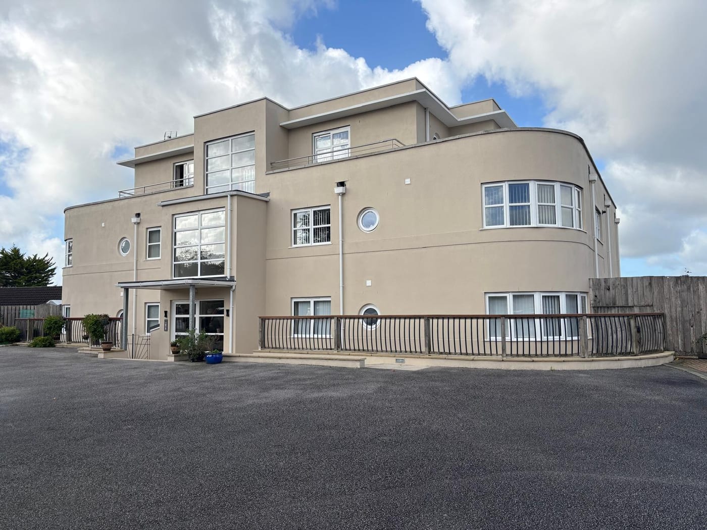
What We Would Put First for a Block in Ilminster
Place Insurance with Isle Flooding in View
Around 50 properties flooded internally in October 2021 across Holway House Park, Home Farm Park and Station Road, and 17 in January 2025. For a block near the River Isle warning area we would review flood cover at placement and handle claims.
InsuranceSpecify Works Against the 2025 Plan
The Ilminster Neighbourhood Plan was made on 8 October 2025, so older site appraisals are unlikely to reflect it. We would check any major works specification against the new plan and obtain consents before running Section 20 consultation.
Major works and Section 20Confirm Listed Status Before Works
Historic England's data gives 139 entries in the conservation area, including the Grade I Minster and seven Grade II* buildings such as 29 Court Barton and the George Hotel. For a block in the centre we would confirm listed status and obtain consent first.
ConsentsCheck Radon at the Address
Four radon classes appear across the twelve squares covering Ilminster, and the town centre is class 4, where measurement is advised. We would use the address-level lookup and recommend communal measurement where it shows elevated potential.
ComplianceManaging a Block in Ilminster at a Glance
- Local authority
- Somerset Council
- Authority type
- Unitary
- Building control
- Somerset Building Control, the council's own service covering the four former district areas
- County
- Somerset
- Fire and rescue service
- Devon and Somerset Fire and Rescue Service
- Water and sewerage
- Wessex Water
- From our Plymouth office
- About 66 miles in a straight line
- Setting
- Inland
What It Costs to Move a Block in Ilminster to Us
Management is a fixed annual fee, quoted for the building and agreed before we start. We take no commission and no third-party incentives, so the fee is the whole of what we earn from the building. Taking a block on carries a one-off start-up fee, set by size:
| Block size | Fee |
|---|---|
| Start-up fee, up to 10 units | £420.00 |
| Start-up fee, up to 25 units | £540.00 |
| Start-up fee, 50 units and above | £660.00 |
Taken from our published Additional Services price list, PBM Form #01-27 rev.6, effective 23 June 2025. All fees quoted are inclusive of VAT. See the full price list and how a handover works.
West Floods from the Isle, East from the Hills
Fluvial from the River Isle with surface water from the hills, and the council has separated the two. Its investigation into the January 2025 event concluded that fluvial flooding from the Isle was the dominant mechanism on the western side of the town. Surface water runoff from the surrounding hills was the primary mechanism on the eastern side, so which side of Ilminster a block sits on changes what it is exposed to. The Environment Agency warning area for the River Isle at Ilminster names Rose Mills Industrial Estate and Hort Bridge. It also names Station Road including Holway House Park, Railway Cuttings, Home Farm Way including Home Farm Park, Green Lane, The Old Orchard and Winterhay Lane including the Manor Farm area. It forms a corridor across the west and north rather than covering the town. Both the Isle and the Shudrick Stream are main rivers here, and the council states that there is no risk of coastal flooding in this area. Formal defences are concentrated along the Isle upstream of Hort Bridge as part of an Environment Agency alleviation scheme, with embankments and wall sections near Rose Mills and upstream of Station Road. They are assessed as still meeting the standard they were designed to in the 1970s, and the right bank embankment was extended in 2013 and 2014 recovery works. In July 2017 about ten properties flooded. In October 2021 around 50 properties were internally flooded across Holway House Park, Home Farm Park, Station Road, Green Way and Home Farm Way, when the Isle reached one of the highest levels in its 30 year gauge record. In January 2025, 17 properties flooded. Detailed hydraulic modelling is not available for the River Isle at Ilminster, so the mapped extent is less refined than it looks. For a block, flood cover and drainage inspections should follow which side of town it is on.
Ward Figures Cover a Wide Rural Area, So Check Each Block
The published Ilminster ward figures are 405 flats among 4,772 households, 8.5 per cent. Of those, 264 are in purpose-built blocks, 47 in a converted or shared house, 56 in another converted building and 38 over commercial premises. The ward is roughly fifty times the area of the built-up town and holds 10,480 people against a town of roughly half that, so it largely describes a rural district rather than Ilminster. Converted and other converted buildings together outnumber flats over commercial premises by a wide margin, so for a converted block the leases and demises need careful reading at handover.

139 Listed Entries Inside a Single Conservation Area
One conservation area, reference 21, designated 8 January 1973 with no subsequent extensions. The council's appraisal was approved by the area committee on 7 December 2016 and again on 28 March 2017, and records over 80 conservation areas across the former South Somerset district. The nearby village designations at Donyatt, Dowlish Wake and Barrington all date from 21 January 1986. For a block inside the boundary, the appraisal is the reference point for external works.
The council's 2016 appraisal states that there are 134 listed buildings in the area. Historic England's data gives 139 entries within the conservation area, one Grade I and seven Grade II*, consistent with the council's figure. The Grade I is the parish church of St Mary, the Minster that gives the town its name. The seven at Grade II* are 2 and 3 with their railings and gate piers, 29 Court Barton, The Chantry, 19 to 21 with its gateway, 28 Court Barton, the Unitarian Church and schoolhouse, and the George Hotel. Dillington Lodges are also Grade II* but sit outside the conservation area. Almost all of this falls within a single designation, so a block in the centre should have its listed status confirmed before any external works.
Four Radon Classes Across Twelve Squares in One Town
Radon varies widely across Ilminster. The town centre is class 4, a maximum radon potential of 5 to 10 per cent of homes at or above the action level, where radon measurement is advised. Across the twelve one-kilometre squares covering the town four different classes appear: seven at 5 to 10 per cent, two at 3 to 5 per cent, two at 1 to 3 per cent and one in the lowest band. The UK Health Security Agency publishes address-level lookups, and a block's own address should be checked rather than a town figure.

A Neighbourhood Plan Made as Recently as October 2025
Decided under the South Somerset Local Plan 2006 to 2028, adopted in March 2015 following the inspector's report of 8 January 2015. The Ilminster Neighbourhood Plan is made. The area was designated on 1 June 2017, the referendum was held on Thursday 21 August 2025 with 83 per cent of those voting in favour, and Somerset Council's planning and transport policy sub committee made the plan on 8 October 2025. Older site appraisals are unlikely to reflect it, so a works specification should be checked against the new plan. There is no Article 4 direction: the council's list of South Somerset conservation areas with directions in force names only Wincanton, Bruton, Castle Cary and two parts of Yeovil.
Service charge or accounts query? Email accounts@
Ilminster Questions
Is Our Ilminster Block More Exposed to the Isle or to Runoff?
It depends on the side of town. The council's investigation into the January 2025 event found fluvial flooding from the Isle dominant on the western side, while surface water runoff from the surrounding hills was the primary mechanism on the eastern side. Detailed hydraulic modelling is not available for the Isle at Ilminster, so the mapped extent is less refined than it looks.
Are the River Isle Flood Defences Still Effective?
Formal defences run along the Isle upstream of Hort Bridge as part of an Environment Agency alleviation scheme, with embankments and wall sections near Rose Mills and upstream of Station Road. They are assessed as still meeting the standard they were designed to in the 1970s, and the right bank embankment was extended in 2013 and 2014 recovery works.
Is There an Article 4 Direction in Ilminster?
No. The council's list of South Somerset conservation areas with directions in force names only Wincanton, Bruton, Castle Cary and two parts of Yeovil. Ilminster's single conservation area, designated 8 January 1973 and never extended, still applies, and its appraisal was approved by the area committee in December 2016 and again in March 2017.
Nearby Areas
Talk to Us About Your Building in Ilminster.
A free, no-obligation proposal, written so it can be circulated to a board.