
Block Management in Chard
A bowl-shaped town where surface water floods blocks and radon reaches class 5.
For residents' management companies, RTM companies and freeholders in Chard, we take on the running of the block: budgets, compliance, works and leaseholder matters. Surface water is the flood risk here, with three section 19 investigations published and 83 properties internally flooded on 26 January 2025. Radon is the second issue, as eight of the eleven one-kilometre squares over the town are class 5, where measurement is advised.

What We Would Put First for a Block in Chard
Protect Low Entrances from Surface Water
The 2021 section 19 report records Silver Street flooding blocking the entrance to a block of flats whose doorway sits lower than the road. For a Chard block we would inspect entrance levels and drainage and keep the findings in the compliance record.
InspectionsMeasure Radon in Ground-Floor Communal Areas
Eight of the eleven squares over Chard are class 5, where measurement is advised. We would recommend radon measurement in ground-floor communal areas, basement plant rooms and bin stores rather than assuming a result.
CompliancePlan Reserves Around Communal Plant
Purpose-built blocks are 82 per cent of Chard's flats. That points to communal plant, block insurance and Section 20 consultation, so we would set the budget and reserve fund around planned replacement.
Reserve fundsGive Insurers the Real Flood History
At least 100 properties were affected on 28 June 2021 and 83 were internally flooded in January 2025. We would make sure insurers hold an accurate flood history for the block and handle any claim from first notification.
InsuranceManaging a Block in Chard at a Glance
- Local authority
- Somerset Council
- Authority type
- Unitary
- Building control
- Somerset Building Control, the council's own service covering the four former district areas
- County
- Somerset
- Fire and rescue service
- Devon and Somerset Fire and Rescue Service
- Water and sewerage
- Wessex Water
- From our Plymouth office
- About 62 miles in a straight line
- Setting
- Inland
What It Costs to Move a Block in Chard to Us
Management is a fixed annual fee, quoted for the building and agreed before we start. We take no commission and no third-party incentives, so the fee is the whole of what we earn from the building. Taking a block on carries a one-off start-up fee, set by size:
| Block size | Fee |
|---|---|
| Start-up fee, up to 10 units | £420.00 |
| Start-up fee, up to 25 units | £540.00 |
| Start-up fee, 50 units and above | £660.00 |
Taken from our published Additional Services price list, PBM Form #01-27 rev.6, effective 23 June 2025. All fees quoted are inclusive of VAT. See the full price list and how a handover works.
Surface Water, Not the River Map, Floods Chard
Chard's real flood problem is invisible on the river map. Only 0.2 per cent of the built-up area is in Flood Zone 3 and 0.2 per cent in Flood Zone 2, and no Environment Agency flood warning or alert area covers the town. The South Somerset upper reaches alert comes within about 30 metres of the edge without overlapping it, and the nearest warning area begins a kilometre away at Chard Reservoir. The risk is surface water. The strategic flood risk assessment names Chard among the South Somerset settlements most at risk of surface water flooding. It notes that the sewer network serving the town is combined and therefore has limited capacity. Three separate section 19 investigations have been published. At least 100 properties were affected on 28 June 2021, in what was assessed as a 1 in 300 year rainfall event with 95mm falling in two and a half hours. Four properties were affected in October 2021, and 83 properties were internally flooded on 26 January 2025 from 56.40mm in what was only a 2 year return period. The council's explanation is topographic. The town sits in a wide valley with hills on either side forming a bowl, and it straddles a watershed, with most drains running to the River Isle and some to the Axe. The 2021 report records that Silver Street flooding blocked the entrance to a block of flats whose doorway sits lower than the road. The council's consultants concluded in 2026 that a wider series of catchment based interventions will be needed, and that this is likely to be a very substantial investment requirement and a long term project. For a block, that means checking entrance levels and drainage, and giving insurers the real flood history rather than the flood zone alone.
A Blocks Town, with 82 Per Cent of Flats Purpose-Built
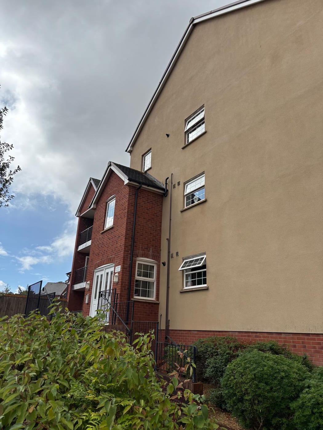
Across the town's output areas, 1,130 of 6,350 households were in flats at the 2021 Census, 17.8 per cent. Of these, 927 were in purpose-built blocks, 100 in a converted or shared house, 45 in another converted building and 58 over commercial premises. Purpose-built blocks make up 82 per cent of all flats, so this is a blocks town rather than a conversions town. The management questions that follow are communal plant, block insurance and section 20 consultation rather than party wall and layout disputes. The two Chard wards each pull in rural parishes, being about 77 and 70 per cent inside the built-up area, so the ward figures of 13.4 and 14.5 per cent understate the town itself.

Over 100 Listed Entries, Including a Grade II* Factory
One conservation area, with two official sources giving different designation dates. The council's own Chard Conservation Area Appraisal of 2012 states that the area was first designated in 1980; the national dataset, sourced from the council, records 1973. Boundary amendments and the appraisal content were approved by committee on 14 December 2011. The appraisal divides the area into three character areas: Fore Street and High Street, Old Town and Holyrood Street, and Upper Combe Street. At 0.226 square kilometres it covers 5.9 per cent of the built-up town. For a block inside it, the character area guidance shapes how external works are specified.
The council's 2012 appraisal describes over 100 listed building entries. They include a Grade I parish church, late sixteenth and early seventeenth century gentry houses, eighteenth and early nineteenth century houses, public buildings, nonconformist churches and multi-storey former mill buildings. Over 60 entries are in the Fore Street and High Street character area alone. Historic England's current data gives 156 entries in the built-up area, two Grade I and eight Grade II*, of which 132 fall inside the conservation area. The two Grade I are the Church of St Mary the Virgin and the Fore Street group that includes King Charles Mews and its water pump. One of the Grade II* entries is the former Gifford Fox and Company factory building. Industrial fabric in this town carries the same consent burden as the gentry houses, so a converted mill or factory block needs its listing checked before works are specified.
Eight of Eleven Squares Sit in Class 5
The town centre is class 5 on the UK Health Security Agency and British Geological Survey mapping. That means a maximum radon potential of 10 to 30 per cent of homes at or above the action level, with the published advice that radon measurement is advised. Eight of the eleven one-kilometre squares over the built-up area are in that band, with two at 3 to 5 per cent and one lower. For a block that matters most at ground floor and in any basement plant room or bin store, and it is worth measuring rather than assuming.
A 2,716 Dwelling Growth Area and No Neighbourhood Plan
Decided under the South Somerset Local Plan 2006 to 2028, whose cover records adoption in March 2015. Chard carries two of its own strategic policies. The Chard Strategic Growth Area policy provides for at least 2,716 dwellings, around 13 hectares of employment land, two new primary schools and four neighbourhood centres at Avishayes, Stop Line Slopes, Millfields and Holbear. The phasing policy delivers at least 1,220 of those dwellings within the plan period through the Chard Eastern Development Area. There is no neighbourhood plan, and Chard does not appear on the council's register even as one in production. There is no Article 4 direction either. The South Somerset conservation area directions are at Bruton, Castle Cary, Wincanton and two parts of Yeovil, with a further set covering Yeovil houses in multiple occupation, and Chard appears in none of them. Works to a block are judged against the Local Plan alone.
Service charge or accounts query? Email accounts@
Chard Questions
Our Block Is Not in a Flood Zone. Is Chard Flooding Still Our Concern?
Probably. Only 0.2 per cent of the built-up area is in Flood Zone 3 and no Environment Agency warning area covers the town, but the strategic flood risk assessment names Chard among the settlements most at risk of surface water flooding. The sewer network is combined with limited capacity, and 83 properties flooded internally in January 2025 from what was only a 2 year rainfall event.
Is a Flood Scheme Planned for Chard?
Not a short-term one. The council's consultants concluded in 2026 that a wider series of catchment based interventions will be needed, likely a very substantial investment and a long term project. The town sits in a bowl with hills on either side and straddles a watershed, with most drains running to the River Isle and some to the Axe.
When Was the Chard Conservation Area Designated?
Two official sources disagree. The council's 2012 appraisal says 1980, while the national dataset records 1973. Boundary amendments were approved by committee on 14 December 2011. The area covers 5.9 per cent of the built-up town across three character areas: Fore Street and High Street, Old Town and Holyrood Street, and Upper Combe Street.
Nearby Areas
Talk to Us About Your Building in Chard.
A free, no-obligation proposal, written so it can be circulated to a board.