
Block Management in Lyme Regis
The east of Lyme Regis sits behind an approximately 19 million pound coast scheme.
Block and leasehold management on fixed fees is available in Lyme Regis to RMCs, RTM companies and freeholders. The east of the town sits behind a coast protection scheme of approximately 19 million pounds that secured about 390 metres of coastline between Church Cliff and East Cliff. The town centre returns radon class 5, yet adjacent squares differ by four bands.
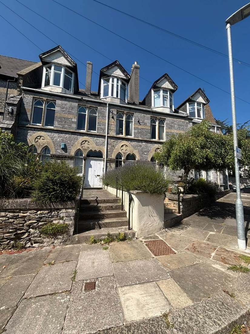
What We Would Put First for a Block in Lyme Regis
Check Radon at Each Individual Address
Lyme Regis town centre returns class 5, but neighbouring squares run from under 1 per cent to 10 to 30 per cent. We would check each block's own address and recommend radon measurement in communal areas wherever it is advised.
ComplianceWrite Marine Conditions into Specifications
Lyme Regis is open English Channel coast, and external metalwork, fixings and coatings here should be specified for a marine atmosphere. We would write that into every specification for railings, balconies and fixings.
Maintenance and repairsRecord Which Flood Warning Applies
River Lim warning areas name Church Street, Coombe Street and Bridge Street, and a separate tidal warning area covers the harbour. We would record which applies to the block and present it to insurers at renewal.
InsuranceSecure Consent Before Appointing Contractors
The conservation area holds 210 listed entries, with the Cobb and the parish church at Grade I. We would establish whether a building is listed and secure consent from Dorset Council before any contractor is appointed.
ConsentsManaging a Block in Lyme Regis at a Glance
- Local authority
- Dorset Council
- Authority type
- Unitary
- Building control
- Dorset Council Building Control
- County
- Dorset
- Fire and rescue service
- Dorset and Wiltshire Fire and Rescue Service
- Water and sewerage
- Wessex Water
- From our Plymouth office
- About 58 miles in a straight line
- Setting
- Coastal
What It Costs to Move a Block in Lyme Regis to Us
Management is a fixed annual fee, quoted for the building and agreed before we start. We take no commission and no third-party incentives, so the fee is the whole of what we earn from the building. Taking a block on carries a one-off start-up fee, set by size:
| Block size | Fee |
|---|---|
| Start-up fee, up to 10 units | £420.00 |
| Start-up fee, up to 25 units | £540.00 |
| Start-up fee, 50 units and above | £660.00 |
Taken from our published Additional Services price list, PBM Form #01-27 rev.6, effective 23 June 2025. All fees quoted are inclusive of VAT. See the full price list and how a handover works.
Land Stability, Not Flooding, Is the Bigger Story
Two rivers and a tidal harbour. The River Lim warning areas name Church Street, Middle Mill Farm, Avenue Road, Mill Green, Coombe Street and Bridge Street. A second riverside area names Venlake, King Georges Field, Mill Green, Coombe Street and Bridge Street. Both sit under the West Dorset rivers and streams alert. Separately, the Lyme Regis Harbour warning area covers areas of the town around the harbour and is classified against the English Channel, under the west coast of Dorset alert. The bigger story here is not flooding but land stability, and the town has spent decades on it. The Gun Cliff scheme was completed in 1995 with sea walls and rock armour enclosing a sewage pumping station and a promenade on top. Emergency stabilisation works at East Cliff, Church Cliff and the land behind the harbour cost 1.4 million pounds over the winter of 2003 to 2004. The second phase completed in 2007 combined beach replenishment, sea walls, jetties and rock armour realignment with slope stabilisation by bored piles and soil nails. The fourth phase completed in 2014 is the largest. The council's own leaflet records that the full scheme for the east of the town cost approximately 19 million pounds. Defra funding of 14.6 million was secured in March 2012 when the Environment Agency approved the scheme. West Dorset District Council contributed 600,000 pounds and Dorset County Council up to 4.27 million. Major construction began in early April 2013 and took about two years. The works secured approximately 390 metres of coastline between Church Cliff and East Cliff for the next 50 years, saving up to 480 homes from damage or loss of access. The government's 2014 announcement describes the same scheme as a 21 million pound project, which is the pre-tender approval rather than the outturn. The Environment Agency's appraisal gives the works a 60 year design life, while the leaflet's 50 years refers to the coastline secured. A fifth phase covering the Cobb is described on the council's page in the future tense, with no cost and no confirmed completion. For a block, insurers should be told which warning area applies and whether the building sits behind the completed works.
Converted Houses Hold 19.1 Per Cent of Local Flats
Lyme Regis has no ward of its own, so the published figure cannot be narrowed to the town. The Lyme and Charmouth ward covers both settlements. It held 2,510 households at the 2021 Census, with 528 in flats, 21.0 per cent. Of those, 331 were in purpose-built blocks, 101 in a converted or shared house, 44 in another converted building and 52 over commercial premises. Unusually for Dorset, this ward is close to the county median rather than oversized, so the rate is not diluted by countryside even though it spans two places. Converted and shared houses make up 101 of 528 flats, 19.1 per cent. That is what subdivided historic seaside stock looks like in the data. It brings the usual difficulties over demises, shared services and compartmentation, so lease plans and fire separation in a converted block need checking early.
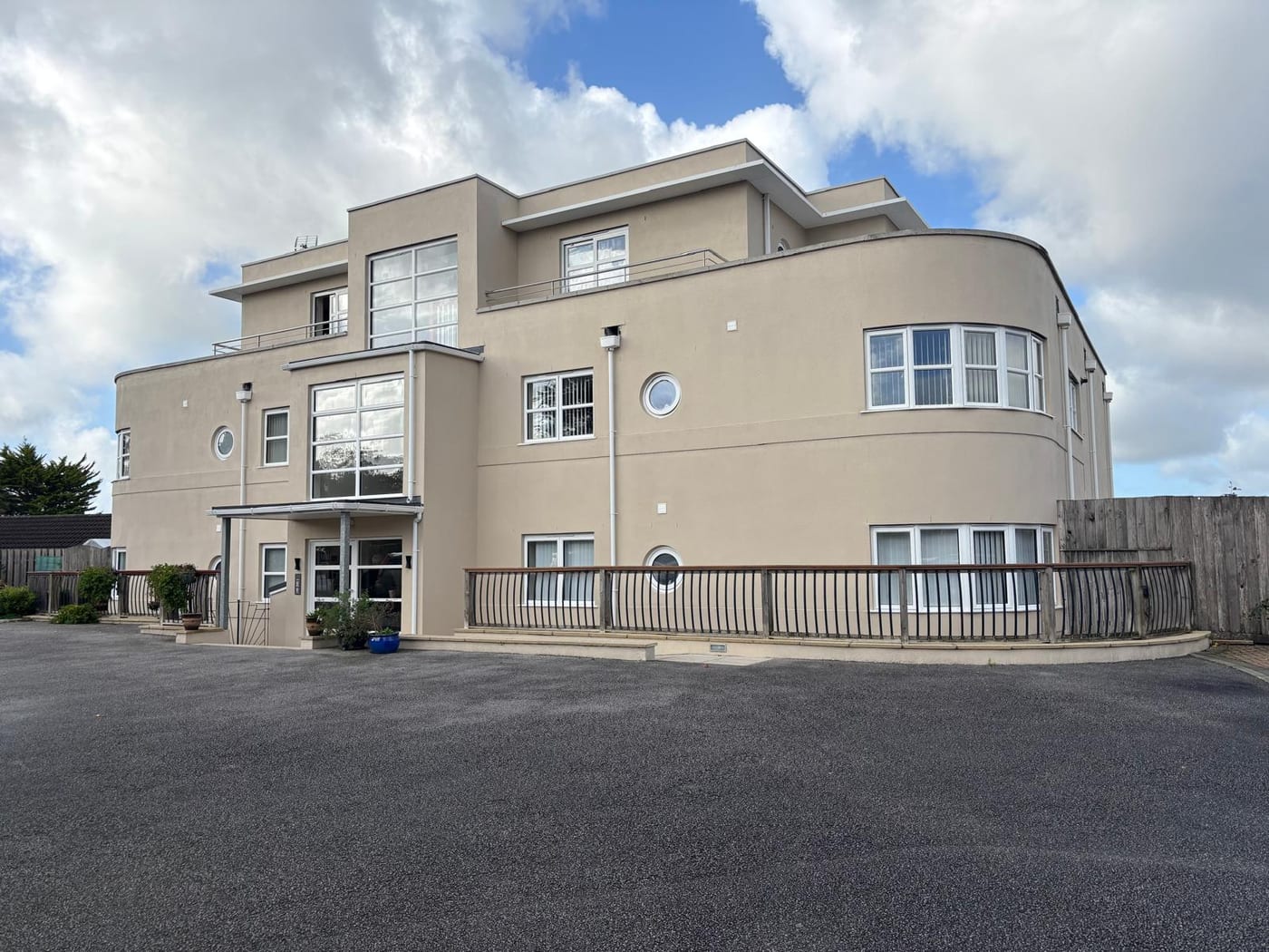
Specify for a Marine Atmosphere on the Channel
Open coast on the English Channel, and the town carries a tidal warning area for the harbour on top of its two river areas. Historic England's mapping shows the Dorset and East Devon Coast World Heritage Site designation at Church Cliff but not at the Cobb and seafront point. The designation follows the cliffs rather than the built frontage. Specifying external metalwork, fixings and coatings here should assume a marine atmosphere.
The measurable part of marine exposure is corrosion. A high-salinity coastal atmosphere is category C5-M in the standards, where unprotected steel can lose 200 micrometres in a year. In practice that means the metalwork on a Lyme Regis block sets the inspection interval, and the reserve fund follows the inspections rather than a standard cycle.
210 Listed Entries in One Conservation Area
One conservation area, mapped in eight parts. The council's appraisal records that it was first designated in 1970 and extended in 1993, 2004 and 2010. West Dorset has 79 conservation areas, with an ongoing programme of review. For a block inside the boundary, external works such as windows, roofing and render should be checked for consent before they are specified.
The council's appraisal states that the conservation area holds 210 listed building entries, including four Grade I and four Grade II*, and 22 important local buildings. Historic England's current data for the parish gives the same total of 210 but splits it as five Grade I and five Grade II*. The appraisal names the Cobb and the parish church at Grade I, and the Roman Catholic Church, Belmont and the Guildhall at Grade II*. The same appraisal gives the important local buildings as 22 in its summary and as over 15 in its definition of special interest. For a block, the grade of the building should be confirmed against Historic England's list entry before listed building consent is sought.

Adjacent Squares Differ by Four Radon Bands
The town centre returns class 5, a maximum radon potential of 10 to 30 per cent of homes at or above the action level. The published advice there is that radon measurement is advised. Across the surrounding squares, every class from the lowest band up to class 5 appears. Adjacent one kilometre squares differ by four bands, from under 1 per cent to between 10 and 30 per cent. A town level figure is close to meaningless for any individual building, so radon should be checked at each block's own address.
Charmouth's Neighbourhood Plan Does Not Apply Here
Decided under the joint West Dorset, Weymouth and Portland Local Plan, adopted by West Dorset District Council on 22 October 2015, running to 2031. There is no made neighbourhood plan. Charmouth has one, made on 1 March 2022. Because the census ward is called Lyme and Charmouth, it is easy to attribute that plan to Lyme Regis, but it does not apply here. Two Article 4 directions sit on the western edge of the parish: at Middle Farm, dated December 1972, and at Clappentail Cottage on Clappentail Lane, dated July 1952. There are also two coastal strip directions between Bridport and Lyme Regis. None of them covers the town centre or the conservation area. For a block in the town centre or the conservation area, alterations are judged against the Local Plan, and conservation area controls where they apply, rather than an Article 4 direction.
Service charge or accounts query? Email accounts@
Lyme Regis Questions
Is the Cobb Already Protected by the Coast Scheme?
Not as a delivered project. The fourth phase, completed in 2014, secured approximately 390 metres of coastline between Church Cliff and East Cliff for the next 50 years. It saved up to 480 homes from damage or loss of access. A fifth phase covering the Cobb is described by the council in the future tense, with no cost and no confirmed completion.
Does the Charmouth Neighbourhood Plan Apply to Lyme Regis?
No. Charmouth's plan was made on 1 March 2022. The census ward is called Lyme and Charmouth, so it is easy to attribute the plan to Lyme Regis, but it does not apply here. Lyme Regis has no made neighbourhood plan and is decided under the joint West Dorset, Weymouth and Portland Local Plan, adopted on 22 October 2015 and running to 2031.
Do the Article 4 Directions Near Lyme Regis Cover the Town?
No. Two directions sit on the western edge of the parish: at Middle Farm, dated December 1972, and at Clappentail Cottage on Clappentail Lane, dated July 1952. There are also two coastal strip directions between Bridport and Lyme Regis. None of them covers the town centre or the conservation area.
Nearby Areas
Talk to Us About Your Building in Lyme Regis.
A free, no-obligation proposal, written so it can be circulated to a board.