
Block Management in Wareham
Tidal Poole Harbour and two rivers act together on a town ringed by Saxon walls.
On either side of Wareham's Saxon walls, we provide block, estate and leasehold management to RMCs, RTM companies and freeholders. Four Environment Agency areas cover the town, with tidal water from Poole Harbour acting in combination with the Frome and the Piddle. Of 193 listed entries in the parish, 182 sit inside the conservation area, where an Article 4 direction on satellite antennas has applied since 1990.
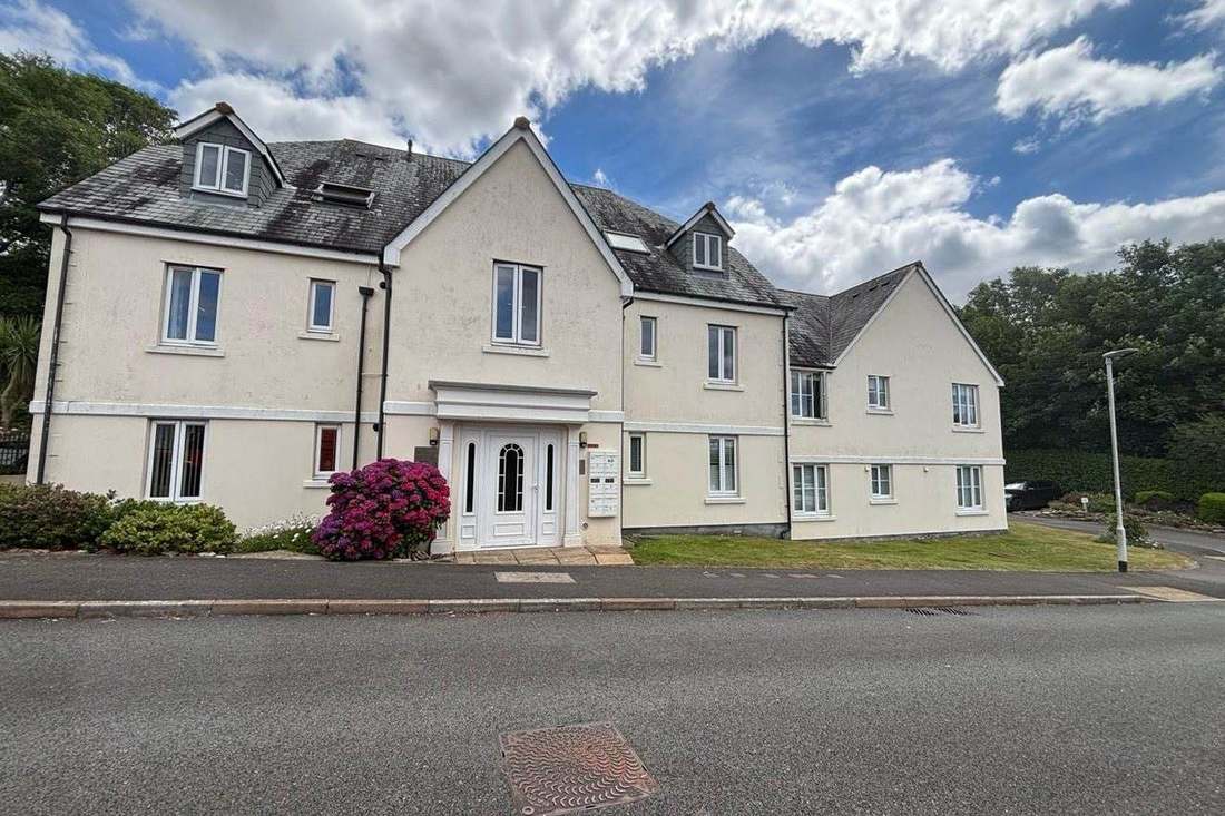
What We Would Put First for a Block in Wareham
Assume Consent Is Needed in the Core
182 of the 193 listed entries sit inside the conservation area. For a block in the historic core we would assume both conservation area control and listed building consent apply, and obtain consents before specifying works.
ConsentsDisclose Tidal and River Exposure Together
The Poole Harbour warning area names the Quay, Ridge, Redcliffe and Swineham, and the Lower Frome and River Piddle areas also cover the town. We would set out that combined tidal and river exposure in insurance placement and claims.
InsuranceReview Reserves Against Defence Standards
The Frome and Piddle defences have design standards from 2 year to 200 year, and the 2015 strategy is to hold the line at Wareham. We would reflect a block's position behind those defences in its reserve fund planning.
Reserve fundsManaging a Block in Wareham at a Glance
- Local authority
- Dorset Council
- Authority type
- Unitary
- Building control
- Dorset Council Building Control
- County
- Dorset
- Fire and rescue service
- Dorset and Wiltshire Fire and Rescue Service
- Water and sewerage
- Wessex Water
- From our Plymouth office
- About 91 miles in a straight line
- Setting
- Tidal rivers (Frome and Piddle)
What It Costs to Move a Block in Wareham to Us
Management is a fixed annual fee, quoted for the building and agreed before we start. We take no commission and no third-party incentives, so the fee is the whole of what we earn from the building. Taking a block on carries a one-off start-up fee, set by size:
| Block size | Fee |
|---|---|
| Start-up fee, up to 10 units | £420.00 |
| Start-up fee, up to 25 units | £540.00 |
| Start-up fee, 50 units and above | £660.00 |
Taken from our published Additional Services price list, PBM Form #01-27 rev.6, effective 23 June 2025. All fees quoted are inclusive of VAT. See the full price list and how a handover works.
Tidal Water and Two Rivers Act in Combination
Wareham is exposed to tidal water and to two separate rivers at once. The council's own assessment notes that in Weymouth and Wareham tidal flood risk can occur in combination with fluvial and surface water sources and can exacerbate flood risk. It lists Wareham among the Dorset communities at greatest risk of tidal flooding. Four Environment Agency areas cover the town. The Poole Harbour at Wareham warning area is tidal and names the Quay, Ridge, Redcliffe and Swineham. The Lower Frome area covers Stoborough, Stoborough Green, Wareham, Redcliffe, Ridge and Swineham. The River Piddle area runs from Alton Pancras down to Wareham including Purbeck View Park. A fourth, at the Town Quay, names Swineham Point and The Moors. Above them sits an alert area described as Poole Harbour and the tidal stretches of the Lower Frome and River Piddle. Defences are recorded as high ground and embankments around the river mouth where it meets the harbour. Roads to the south including the A351 and B3075 are inside the flood zones. The Environment Agency's asset data gives the Frome and Piddle defences design standards ranging from 2 year to 200 year, with condition ratings from 1 to 3. The agency's strategy for Poole and Wareham, adopted in April 2015, is to hold the line at Wareham. It states that continuing to hold the line at Wareham may significantly adversely affect intertidal habitats as a result of coastal squeeze. That is why around 150 hectares of the Moors at Arne are being adapted into wetland habitat as compensation, with a three year construction programme beginning in spring 2023. Embankment work at Redcliffe, published in March 2018, covered about 77 metres of bank near the yacht club and 110 metres near the boat yard. A block here should disclose its combined tidal and river exposure to insurers, and its reserve fund should reflect its position behind the defences.
The Town Has a Higher Flat Share Than Its Ward
The published Wareham ward figures are 517 flats among 4,438 households, 11.6 per cent. The ward is much larger than the town. Only two of its six polling districts are the town itself; the rest cover the whole of Arne parish and Wareham St Martin, taking in Sandford and Holton Heath. Wareham Town civil parish alone has 2,751 households with 420 in flats, 15.3 per cent. These are made up of 282 in purpose-built blocks, 39 in a converted or shared house, 40 in another converted building and 59 over commercial premises. So the town proper has a higher share of flats than the ward figure suggests. Flats over shops in the historic core need cover and cost apportionment that reflect the commercial unit below.
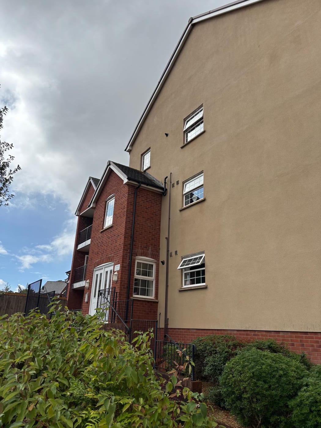
Nearly Every Listed Building Is Inside the Conservation Area
One conservation area, first designated on 16 January 1970, with the appraisal formally adopted by Purbeck District Council on 11 January 2012. The area was aggregated with Stoborough in 1988 and formally disaggregated on 24 April 2012 with the boundaries unaltered, so older records may show either arrangement. The designation is not only about buildings. The appraisal describes the town as one of the most important settlements in Saxon Wessex. It retains significance as one of the earliest post-Roman planned settlements in both its street plan and its defensive circuit. The appraisal identifies the earth walls themselves as a scheduled ancient monument. Three scheduled monuments sit in the town: the North Bridge, St Martin's Church and the town walls. Works that touch the walls, such as drainage or boundary works for a block, may need scheduled monument consent as well as planning permission.
193 entries on the National Heritage List fall inside the parish, four Grade I and seven Grade II*. 182 of them sit inside the conservation area, so essentially the whole listed stock of the town is within the designation. The four Grade I buildings were all listed on the same day in May 1952. They are the parish church of Lady St Mary, the Church of St Martin on the Walls, the Holy Trinity gallery and the Manor House at number 9. For a managing agent the practical consequence is simple. In Wareham the default assumption for any building in the historic core should be that both conservation area control and listed building consent are in play.
Every Square in the Parish Is Lowest Band
Lowest band throughout. Every one of the sixteen one-kilometre squares intersecting the parish is in the lowest class, including the town centre. In every one of them, under 1 per cent of homes are at or above the action level, and radon measurement is not advised. There is no elevated ground anywhere in the parish, so on the published advice blocks here do not need radon measurement.
That is national advice about the ground, not about the building. The same map excludes basements, cellars and underground spaces at every band, so an enclosed plant room, undercroft or lower-ground flat is still worth a look even here, and whatever is found belongs with the compliance record.

A Satellite Antenna Article 4 in Place Since 1990
Decided under the Purbeck Local Plan 2018 to 2034, adopted on 18 July 2024, which replaced the 2012 part one plan. The Wareham Neighbourhood Plan 2019 to 2034 was made by Dorset Council on 8 November 2021. Its referendum on 30 September 2021 had a turnout of 1,268, 26.8 per cent, in which 1,145 voted yes and 120 no, 90.5 per cent in favour. The plan is now listed under review. An Article 4 direction has covered the whole conservation area since 1990. It removes permitted development rights for the installation, alteration or replacement of a satellite antenna on a dwellinghouse or within its curtilage. Two further directions sit in the wider ward, at land off New Road and Arne Road at Ridge from May 1985 and at Moretons Lane from September 1994. A block in the conservation area needs planning permission before any communal or individual dish goes up.
Service charge or accounts query? Email accounts@
Wareham Questions
Do We Need Radon Testing for a Block in Wareham?
The published advice is that it is not needed. Every one of the sixteen one-kilometre squares intersecting the parish is in the lowest class, including the town centre. Under 1 per cent of homes are at or above the action level, and radon measurement is not advised. There is no elevated ground anywhere in the parish.
What Flood Defence Work Has Been Done Around Wareham?
Defences are high ground and embankments around the river mouth. Embankment work at Redcliffe, published in March 2018, covered about 77 metres of bank near the yacht club and 110 metres near the boat yard. Because holding the line may adversely affect intertidal habitats, around 150 hectares of the Moors at Arne are being adapted into wetland, with construction beginning in spring 2023.
Why Do Wareham Flat Figures Vary Between Sources?
The Wareham ward takes in Arne parish and Wareham St Martin, including Sandford and Holton Heath, and returns 517 flats among 4,438 households, 11.6 per cent. Wareham Town parish alone has 2,751 households with 420 in flats, 15.3 per cent, including 282 in purpose-built blocks and 59 over commercial premises, so the town is flatter than the ward suggests.
Nearby Areas
Talk to Us About Your Building in Wareham.
A free, no-obligation proposal, written so it can be circulated to a board.