
Block Management in Sturminster Newton
The Stour floods the south end, where the Grade I bridge and Grade II* mill stand
Directors of RMCs and RTM companies, and freeholders, in Sturminster Newton can appoint us for block, estate and leasehold management. The Stour poses significant flood risk to the south of town at Bridge Street, Coach Road and Durrant, while the centre and north are low risk. Groundwater susceptibility across a large area matters for basements, and class 4 radon squares sit over the town itself.
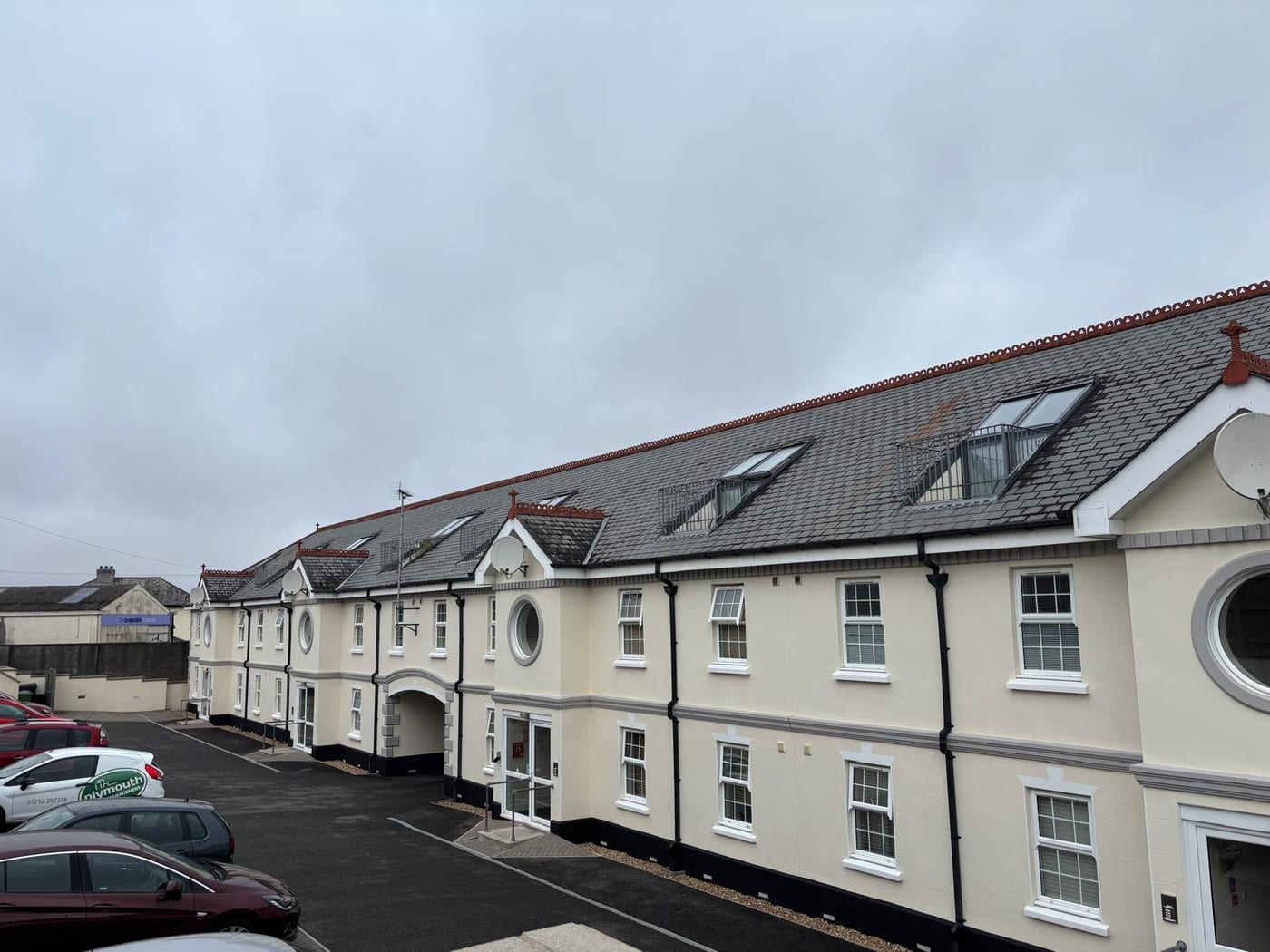
What We Would Put First for a Block in Sturminster Newton
Locate the Block Against the Southern Flood Zones
Flood zones affect the south at Bridge Street, Coach Road and Durrant, while the central and northern parts are low fluvial risk. We would confirm where the block sits and place insurance with the exposure stated.
InsuranceInspect Basements for Groundwater
A large area of the town is susceptible to groundwater flooding below ground level or at the surface, and sewer flooding is recorded on Penny Street and Musbury Lane. We would include basements and ground-floor plant rooms in scheduled inspections.
InspectionsMeasure Radon in Communal Areas
Eight class 4 squares form a block over and north of the town, at 5 to 10 per cent of homes at or above the action level. We would arrange radon measurement in communal areas, as advised, and record the results.
ComplianceManaging a Block in Sturminster Newton at a Glance
- Local authority
- Dorset Council
- Authority type
- Unitary
- Building control
- Dorset Council Building Control
- County
- Dorset
- Fire and rescue service
- Dorset and Wiltshire Fire and Rescue Service
- Water and sewerage
- Wessex Water
- From our Plymouth office
- About 89 miles in a straight line
- Setting
- Inland
What It Costs to Move a Block in Sturminster Newton to Us
Management is a fixed annual fee, quoted for the building and agreed before we start. We take no commission and no third-party incentives, so the fee is the whole of what we earn from the building. Taking a block on carries a one-off start-up fee, set by size:
| Block size | Fee |
|---|---|
| Start-up fee, up to 10 units | £420.00 |
| Start-up fee, up to 25 units | £540.00 |
| Start-up fee, 50 units and above | £660.00 |
Taken from our published Additional Services price list, PBM Form #01-27 rev.6, effective 23 June 2025. All fees quoted are inclusive of VAT. See the full price list and how a handover works.
The South Floods While the Centre Stays Low Risk
Fluvial on the River Stour, with no tidal component, and the risk is concentrated at one end of the town. The council's assessment says the Stour surrounds the town to the east, west and south and poses a significant widespread flood risk there. The central and northern parts of the town, where the majority of the properties are located, have a low fluvial flood risk. Tidal risk is described as negligible. The flood zones affect the south at Bridge Street, Coach Road and Durrant with the surrounding residential properties. There is minor high-risk surface water flooding along Rixon Hill Road and around Filbridge Rise. A large area of the town is described as susceptible to groundwater flooding of property below ground level or at the surface. That is the mechanism most likely to reach a basement or ground-floor plant room. Sewer flooding has been recorded on Penny Street and Musbury Lane, and a channel capacity failure was recorded on Common Lane on Christmas Eve 2013. The town appears in the Environment Agency's warning area for the upper Stour from Gillingham to Hammoon. The upper and middle Stour alert areas name Sturminster Newton only as a reach boundary, not as a covered location. The exposed southern edge is also where the Grade I town bridge and the Grade II* mill stand. For a block, insurance should state which part of town it sits in, and basements need checking for groundwater.
Most Flats Are Purpose-Built, with Few Conversions
The Sturminster Newton ward held 2,083 households at the 2021 Census with 338 in flats, 16.2 per cent. These were made up of 288 in purpose-built blocks, 15 in a converted or shared house, 8 in another converted building and 27 over commercial premises. The ward also includes Hinton St Mary parish. The civil parish alone gives 1,993 households and 339 flats, 17.0 per cent, so the difference is small. Most flats here are in purpose-built blocks, and those over shops need cover and cost apportionment that reflect the commercial unit below.
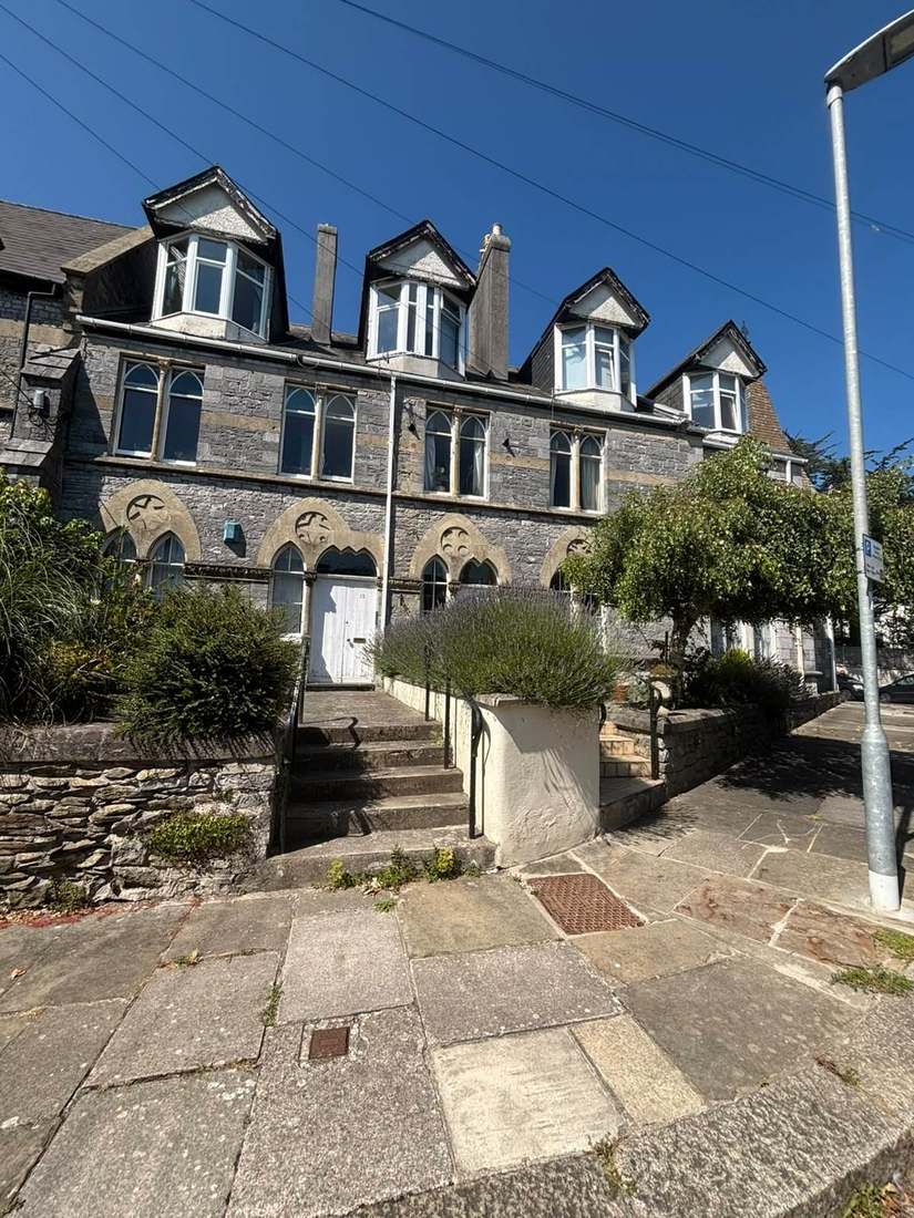
The Town Bridge Is Both Grade I and Scheduled
One conservation area, designated on 9 April 1976. No conservation area appraisal has ever been published for it. The council relies instead on the Dorset Historic Towns Survey of February 2011, which counts listed buildings by character area. It records 14 in the Minster area, of which one is Grade I, 54 in the town centre, all Grade II and including the market cross, and 8 on the western fringe. The survey also records that the entire town centre character area lies within the conservation area. A town design statement was adopted as supplementary planning guidance on 25 July 2008. For context, the former North Dorset district holds 48 conservation areas and over 2,500 listed buildings. Without an appraisal, the survey and the design statement are the documents to check before specifying external works to a block in the centre.
121 entries on the National Heritage List fall inside the parish, three Grade I and two Grade II*, of which about 101 sit inside the conservation area. The three Grade I entries, all listed on the same day in October 1960, are the Town Bridge, the Church of St Mary and Fiddleford Mill House. Fiddleford Mill House lies outside the conservation area. The two Grade II* are Sturminster Newton Mill and Sturminster Newton Castle. There are four scheduled monuments in the parish. The Town Bridge is both listed at Grade I and scheduled, so works to it engage two separate consent regimes. Any block in a listed building needs listed building consent built into the programme before major works are let.
Elevated Radon Squares Sit Right over the Town
Class 4 at the town centre, a maximum radon potential of 5 to 10 per cent of homes at or above the action level. The published advice is that radon measurement is advised. The higher readings are clustered rather than scattered. Of the 31 one-kilometre squares intersecting the parish, nineteen are in the lowest band and four are class 2. The eight class 4 squares form a block over and to the north of the town rather than being spread across the parish. So the elevated ground is where the town is, and blocks here should have ground floor flats and communal areas measured.

A Main Town with a Neighbourhood Plan Under Review
Decided under the North Dorset Local Plan Part 1, adopted 15 January 2016 for the period 2011 to 2031, with settlement boundaries still taken from the saved 2003 district-wide plan. Sturminster Newton is one of the four main towns in that plan and has its own policy. It provides for at least 395 dwellings over the plan period, about 95 of them affordable. The Sturminster Newton Neighbourhood Plan 2016 to 2031 was made on 8 March 2019 following a referendum on 21 February 2019. A majority of 89.3 per cent of those voting were in favour; the turnout and ballot counts are not published. The plan is now under review. There is no Article 4 direction in the town. Sturminster Marshall is a different parish with directions of its own, as is Okeford Fitzpaine, which carries seven dating from October 1966. Consents for alterations to a block are judged against the local plan and the neighbourhood plan together.
Service charge or accounts query? Email accounts@
Sturminster Newton Questions
Is All of Sturminster Newton at Flood Risk?
No. The council's assessment says the Stour poses a significant flood risk to the east, west and south, but the central and northern parts, where most properties are, have a low fluvial risk. Tidal risk is negligible. Groundwater susceptibility covers a large area, and minor surface water flooding is mapped along Rixon Hill Road and around Filbridge Rise.
Is There a Conservation Area Appraisal for Sturminster Newton?
None has ever been published for the conservation area designated on 9 April 1976. The council offers the Dorset Historic Towns Survey of February 2011, which counts 14 listed buildings in the Minster area, 54 in the town centre and 8 on the western fringe. A town design statement was adopted on 25 July 2008.
Does Sturminster Newton Have a Neighbourhood Plan?
Yes. The Sturminster Newton Neighbourhood Plan 2016 to 2031 was made on 8 March 2019 after a referendum on 21 February 2019 in which 89.3 per cent of those voting were in favour. It is now under review. It sits under the North Dorset Local Plan Part 1, adopted 15 January 2016, and there is no Article 4 direction.
Nearby Areas
Talk to Us About Your Building in Sturminster Newton.
A free, no-obligation proposal, written so it can be circulated to a board.