
Block Management in Verwood
No conservation area at all, and surface water risk ranked fifth in Dorset.
We take on blocks in Verwood for residents' management companies, RTM companies and freeholders, handling accounts, insurance, compliance and repairs. No Environment Agency warning area names the town, yet Dorset's strategy ranks it fifth for surface water receptors, 308 in a 1 in 30 year event rising to 682 at 1 in 200. With no conservation area, routine external work is a permitted development question rather than a heritage one.
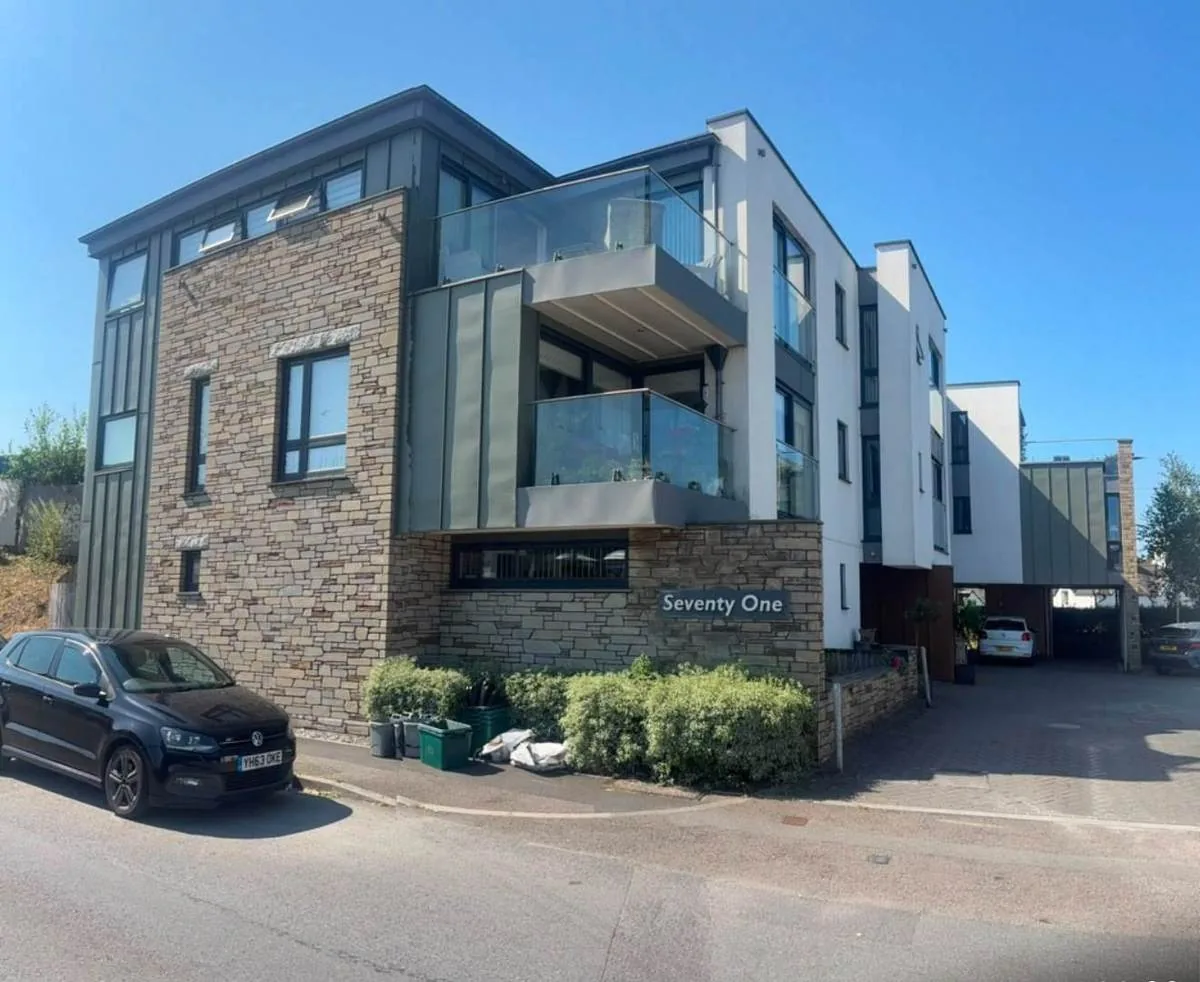
What We Would Put First for a Block in Verwood
Target the Named Surface Water Flow Paths
The county assessment describes flow paths from Champtoceaux Road down Crane Drive to Hayward Crescent, and from Monmouth Drive to Woodlinken Drive and Blacktown Way. For a block on those routes we would add drainage checks to scheduled inspections.
InspectionsBudget Without an Engineered Defence
The asset recorded between Verwood and St Leonard's Farm Park is high ground rather than built infrastructure, and the town has no flood warning service. We would reflect that in reserve fund planning for flood recovery.
Reserve fundsDisclose Surface Water to Insurers Accurately
Verwood has 308 receptors at risk in a 1 in 30 year surface water event, and Meadow Way recorded a channel capacity failure on 23 December 2013. We would set out that record when placing buildings insurance.
InsuranceKeep External Works Programmes Simple
With no conservation area and no Article 4 direction in the parish, redecoration and window replacement are ordinary permitted development questions. We would still check the twelve Grade II entries and six scheduled monuments before specifying works.
Major works and Section 20Managing a Block in Verwood at a Glance
- Local authority
- Dorset Council
- Authority type
- Unitary
- Building control
- Dorset Council Building Control
- County
- Dorset
- Fire and rescue service
- Dorset and Wiltshire Fire and Rescue Service
- Water and sewerage
- Wessex Water
- From our Plymouth office
- About 105 miles in a straight line
- Setting
- Inland
What It Costs to Move a Block in Verwood to Us
Management is a fixed annual fee, quoted for the building and agreed before we start. We take no commission and no third-party incentives, so the fee is the whole of what we earn from the building. Taking a block on carries a one-off start-up fee, set by size:
| Block size | Fee |
|---|---|
| Start-up fee, up to 10 units | £420.00 |
| Start-up fee, up to 25 units | £540.00 |
| Start-up fee, 50 units and above | £660.00 |
Taken from our published Additional Services price list, PBM Form #01-27 rev.6, effective 23 June 2025. All fees quoted are inclusive of VAT. See the full price list and how a handover works.
Surface Water, Not a Warning Area, Is the Risk
Verwood is not named in any of the Environment Agency's 4,208 flood warning or alert areas. The nearest designation of any kind is the Cranborne Chase groundwater flooding alert, and it stops just over a kilometre from the town centre. That does not mean there is no flood risk here. The real exposure is surface water, and it is substantial. The county flood risk management strategy ranks Verwood fifth among all Dorset communities by the number of receptors at risk in a 1 in 30 year surface water flood. Only Weymouth, Dorchester, Ferndown and Sherborne rank higher. It counts 308 receptors, rising to 682 in a 1 in 200 year event. The county assessment describes the mechanism street by street. Water impounds along Champtoceaux Road, creating a flow path that extends south down Crane Drive to Hayward Crescent and affects nearby residential areas. Further impoundment along Monmouth Drive forms a flow path up to Woodlinken Drive and Blacktown Way. Nor is fluvial risk zero. A channel capacity failure was recorded on Meadow Way on 23 December 2013. The stretch of the River Crane from Verwood to Ferndown is named among the areas most sensitive to fluvial climate change. The Crane flows around the westerly and southerly edges of the town before becoming the Moors. The Environment Agency's asset register records the defence between Verwood and St Leonard's Farm Park as high ground, which is natural topography rather than built infrastructure. For a block here that means no flood warning service, meaningful surface water risk, and no engineered defence to rely on. Drainage checks belong in the inspection schedule, and insurers should be given the surface water record.
Few Flats, and Almost No Conversions
The ward held 5,809 households at the 2021 Census with 485 in flats, 8.3 per cent, roughly half the Dorset average. Conversion stock is almost non-existent at 23 households across both converted categories. The ward is smaller than the parish, because Three Legged Cross sits in the neighbouring West Moors ward. The whole civil parish holds 6,386 households and 549 flats, 8.6 per cent, so the picture is the same. Most flats here are therefore in purpose-built blocks, so reserve fund plans can follow each block's own roof, fabric and services.
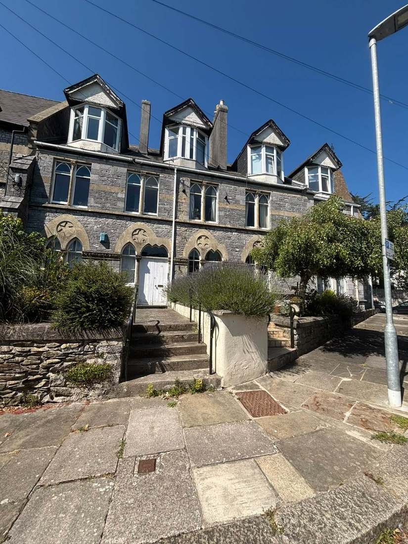
No Conservation Area Anywhere in the Town
There is no conservation area in Verwood. The town is not on the council's list of the 19 East Dorset conservation areas or in its appraisals index. None of the 311 Dorset Council areas in the national register is centred in the parish. Verwood is also absent from the 21 towns in the Dorset Historic Towns Survey. The nearest designations are at Edmondsham, Cranborne, Horton and Wimborne St Giles, all several kilometres away. For a managing agent this simplifies the work. External redecoration, window replacement, rooftop plant and boundary treatments here are ordinary permitted development questions rather than heritage consent questions.
Twelve entries on the National Heritage List fall inside the parish and every one is Grade II. There is no Grade I and no Grade II* building in Verwood. The listed stock is small and domestic: a cottage and attached pottery workshop at Prairie Farm, Homelands, The Skep, Holly Cottage, Potterne House, St Michael's Cottage, Winton View, Oak Tree Cottage, Apple Tree Cottage, Chapel Farm Cottage, The Old Farmhouse and 55 Ringwood Road. What Verwood does have is archaeology rather than architecture. There are six scheduled monuments, including the Sandalholme pottery works and the potteries at Prairie Farm, the surviving record of the industry the place grew around. Few blocks here will need listed building consent, but these entries should still be checked before works are specified.
26 of 29 Radon Squares in the Lowest Band
Very low. Of the 29 one-kilometre squares intersecting the parish, 26 are in the lowest band and only three reach class 3 at 3 to 5 per cent. The town centre is in the lowest band, where all parts of the square are in the lowest band of radon potential and radon measurement is not advised. Most blocks here need no radon testing, though one on a class 3 square should be checked.
That is national advice about the ground, not about the building. The same map excludes basements, cellars and underground spaces at every band, so an enclosed plant room, undercroft or lower-ground flat is still worth a look even here, and whatever is found belongs with the compliance record.

A Main Settlement with Nine Core Strategy Policies
Decided under the Christchurch and East Dorset Local Plan Part 1 Core Strategy, adopted by East Dorset District Council on 28 April 2014, covering 2013 to 2028 and 8,490 homes. Verwood is a main settlement with a dedicated chapter and nine policies of its own. They provide for up to 600 to 650 square metres of convenience floorspace and 700 to 800 of comparison floorspace in the town centre. They also provide for about 230 homes in a new neighbourhood to the north west and about 65 homes to the north east. The green belt boundary is to be amended for the north west neighbourhood. The plan records that Verwood is the second largest town in East Dorset and the largest town in Dorset without upper school provision. There is no neighbourhood plan at any stage, and not even a designated neighbourhood area. There is no Article 4 direction in the parish. The town centre is not in the green belt, but the parish does intersect the South East Dorset green belt. That is why the core strategy has to amend the boundary to deliver its own allocations. No Article 4 direction adds extra controls to a block here, and alterations are judged against the core strategy.
Service charge or accounts query? Email accounts@
Verwood Questions
Is Any Part of Verwood in a Conservation Area?
No. Verwood is not on the council's list of the 19 East Dorset conservation areas or in its appraisals index. None of the 311 Dorset Council areas in the national register is centred in the parish. The nearest designations are at Edmondsham, Cranborne, Horton and Wimborne St Giles, all several kilometres away.
Is There a Neighbourhood Plan for Verwood?
No. There is no neighbourhood plan at any stage and not even a designated neighbourhood area. Planning is decided under the Christchurch and East Dorset Local Plan Part 1 Core Strategy, adopted on 28 April 2014 and covering 2013 to 2028. Verwood has a dedicated chapter and nine policies in it, including about 230 homes to the north west and about 65 to the north east.
Does the River Crane Affect Flood Risk Here?
It can. The Crane flows around the westerly and southerly edges of the town, and a channel capacity failure was recorded on Meadow Way on 23 December 2013. The stretch from Verwood to Ferndown is named among the areas most sensitive to fluvial climate change. Surface water remains the main exposure, and the Cranborne Chase groundwater alert stops just over a kilometre from the centre.
Nearby Areas
Talk to Us About Your Building in Verwood.
A free, no-obligation proposal, written so it can be circulated to a board.