
Block Management in Axminster
Street-named River Axe warnings at Stoney Bridge and Castle Hill, with no tidal reach.
For residents' management companies, RTM companies and freeholders in Axminster, we offer block, estate and leasehold management. The River Axe alert covers 14.98 per cent of the town, and the street-level warning names low lying properties around Stoney Bridge and Castle Hill. East Devon has published no Article 4 data and Axminster is missing from the national conservation area register, so heritage checks go to the council directly.
What We Would Put First for a Block in Axminster
Locate the Block Against the Axe Warnings
The mid Axe warning area covers 1.51 per cent of the town and names low lying properties and roads around Stoney Bridge and Castle Hill. We would check the block against each Axe area and reflect the result in the insurance placement.
InsuranceAsk the Council About Article 4
East Devon has published no Article 4 data to the national register and keeps no index page, so a missing result proves nothing. Before specifying external works we would ask the council directly and keep its answer on file.
ConsentsCheck Heritage Status Against Council Records
Axminster is absent from the national conservation area register, and its 27 page appraisal is a scanned image with no text layer. We would check a block against the council's map and the 46 listed entries inside the area before specifying works.
ConsentsRecommend Radon Measurement in Communal Areas
Five of the eight squares over the town are class 3, at 3 to 5 per cent, with single squares at 5 to 10 and 10 to 30 per cent. Measurement is advised in those bands, so we would recommend communal measurement.
ComplianceManaging a Block in Axminster at a Glance
- Local authority
- East Devon District Council
- Authority type
- District, under the county council
- Building control
- East Devon District Council Building Control
- County
- Devon
- Fire and rescue service
- Devon and Somerset Fire and Rescue Service
- Water and sewerage
- South West Water
- From our Plymouth office
- About 57 miles in a straight line
- Setting
- Inland
What It Costs to Move a Block in Axminster to Us
Management is a fixed annual fee, quoted for the building and agreed before we start. We take no commission and no third-party incentives, so the fee is the whole of what we earn from the building. Taking a block on carries a one-off start-up fee, set by size:
| Block size | Fee |
|---|---|
| Start-up fee, up to 10 units | £420.00 |
| Start-up fee, up to 25 units | £540.00 |
| Start-up fee, 50 units and above | £660.00 |
Taken from our published Additional Services price list, PBM Form #01-27 rev.6, effective 23 June 2025. All fees quoted are inclusive of VAT. See the full price list and how a handover works.
Warnings Name Stoney Bridge and Castle Hill, Not the Coast
The risk is fluvial, and specific enough that the Environment Agency names streets. Three Environment Agency warning areas on the River Axe reach the town. The mid Axe area at Axminster covers 1.51 per cent of the built-up area and names low lying properties and roads around Stoney Bridge and Castle Hill. The upper Axe area from Winsham covers 1.46 per cent. The lower Axe area toward Axmouth clips 0.04 per cent, which is marginal enough to treat as proximity rather than coverage. The Axminster warning area sits inside a wider alert area taking in the Axe, the Coly, the Yarty and Umborne Brook. The River Axe alert covers 14.98 per cent of the town. A separate warning area covers the Yarty above the town. Nothing here is tidal: the agency treats Axminster and the tidal Axmouth reach as different places, so no coastal policy should be assumed to apply. No named, dated or costed flood scheme is published. For a block near Stoney Bridge or Castle Hill, that means checking the building against each warning area and disclosing the result to the insurer.
The Ward Figure Understates Axminster's Purpose-Built Flats
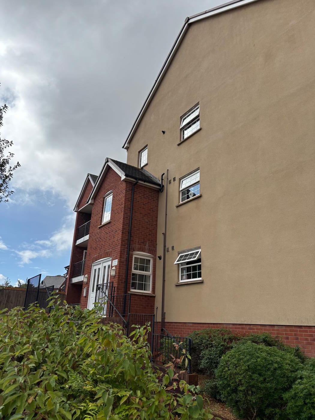
At the 2021 Census the Axminster ward held 3,675 households, 519 of them in flats, 14.1 per cent. Of those, 386 were purpose-built, 10.50 per cent of households, with 59 in a converted or shared house, 33 in another kind of converted building and 41 over commercial premises. The ward figure understates the town. The 20 census output areas inside the built-up area hold 2,793 households, 76 per cent of the ward. They contain 370 purpose-built flats, so the town's own share is 13.25 per cent. A further 51 households there are in a converted or shared house, 33 in another converted building and 37 over commercial premises. Most Axminster flats are therefore in purpose-built blocks, so communal parts, roofs and fire safety are the main items to plan and budget for.

One Conservation Area, and Its Appraisal Is a Scan
One conservation area, designated on 1 February 1973, one of the 33 East Devon publishes. Historic England's list records 46 listed entries inside it, 43 of them grade II and three grade II star, and no grade I. An appraisal exists, running to 27 pages, but it is published as a scanned image with no text layer. Neither the appraisal nor the council's website gives a designation date. Axminster is also absent from the national conservation area register, because East Devon has submitted no data to it. For a block, conservation area status should therefore be confirmed against the council's own records before external works are specified.
53 entries on the National Heritage List fall inside the built-up area, on Historic England's data; the council publishes no count of its own and defers to Historic England. None is Grade I and three are Grade II*: the Church of St Mary, Oak House and the premises of G C Bateman. For a block in a listed building, alterations to its fabric need listed building consent, and the Historic England list entry is the record to work from.
Mostly 3 to 5 Per Cent, with Measurement Advised
Across the eight one-kilometre squares over the built-up area, five are class 3, at 3 to 5 per cent of homes at or above the action level. Of the rest, one square is at 1 to 3 per cent, one at 5 to 10 and one at 10 to 30. The published advice in the elevated bands is that radon measurement is advised. For a block, that means measuring in ground-floor and communal areas and keeping the results on the compliance file.

Thirteen Years Designated and Still No Neighbourhood Plan
Planning decisions are made under the East Devon Local Plan 2013 to 2031, adopted on 28 January 2016. A replacement plan for 2020 to 2042 reached its second publication consultation between November 2025 and January 2026. The town council had the whole parish designated as a neighbourhood area on 2 October 2013. Thirteen years later no neighbourhood plan has been made, while more than 25 other East Devon parishes have one. There is therefore no town-level policy layer on top of the district plan. No Article 4 direction has been identified, but East Devon has published no Article 4 data to the national register and keeps no index page. For a block, that absence is not proof, so the council should be asked directly before external works are specified.
Service charge or accounts query? Email accounts@
Axminster Questions
Does Any Coastal or Tidal Flood Policy Apply in Axminster?
No. The Environment Agency treats Axminster and the tidal Axmouth reach as different places, and the risk here is fluvial. The lower Axe area toward Axmouth clips only 0.04 per cent of the town, which is proximity rather than coverage. The River Axe alert covers 14.98 per cent, and no named, dated or costed flood scheme is published for the town.
Is There a Neighbourhood Plan to Check Alongside the District Plan?
Not yet. The whole parish was designated as a neighbourhood area on 2 October 2013, but no plan has been made. Applications are decided under the East Devon Local Plan 2013 to 2031, adopted on 28 January 2016. A replacement for 2020 to 2042 reached its second publication consultation between November 2025 and January 2026.
How Many Purpose-Built Flats Are There in Axminster Itself?
The 20 census output areas inside the built-up area hold 2,793 households, with 370 in purpose-built blocks, 13.25 per cent. That is materially higher than the ward figure of 10.50 per cent. A further 51 households are in a converted or shared house, 33 in another converted building and 37 over commercial premises.
Nearby Areas
Talk to Us About Your Building in Axminster.
A free, no-obligation proposal, written so it can be circulated to a board.