
Block Management in Swanage
River, surface water and sea converge on the same streets around The Square.
Swanage blocks, estates and leases are the work we take on for residents' management companies, RTM companies and freeholders here. The Square, Shore Road and the High Street appear in both the coastal and the Swan Brook warning areas, where three flood mechanisms converge. The conservation area is on the Heritage at Risk register, and 315 households live in converted or shared house flats.
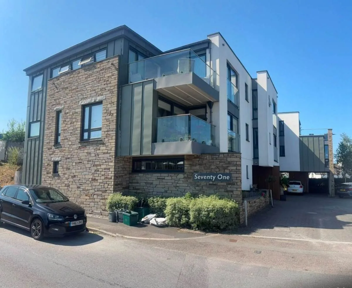
What We Would Put First for a Block in Swanage
Disclose Both Warning Areas to Insurers
Shore Road, The Square, Station Road, Commercial Road and the High Street appear in both the coastal and the Swan Brook warning areas. We would set out that dual exposure when placing insurance and in any claim handling.
InsuranceClear Satellite Dishes Before Installation
An Article 4 direction across the whole Swanage conservation area removes permitted development for installing, altering or replacing a satellite antenna. Before any communal or individual dish we would obtain the planning permission needed and record it.
ConsentsAssess Subdivided Victorian Houses
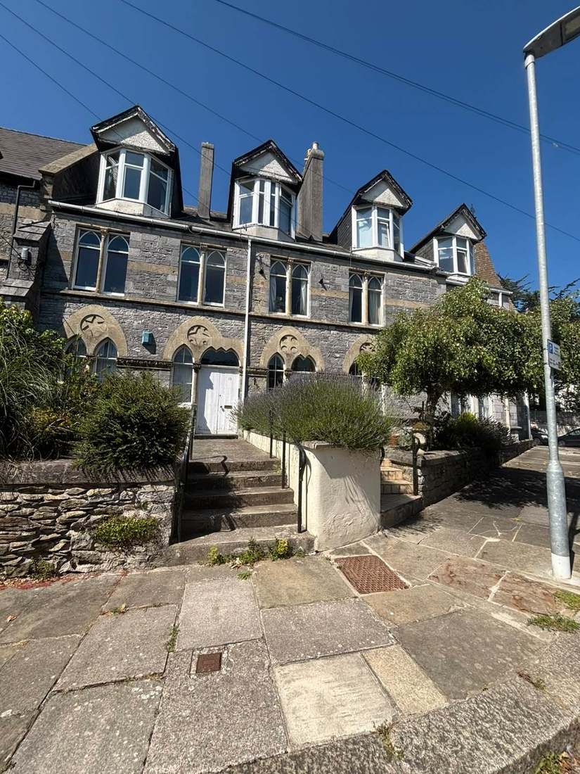
Swanage has 315 flats in converted or shared houses, consistent with a resort core subdivided over a century. We would commission fire risk assessments suited to those layouts.
Fire risk assessmentsRead Major Works Against Both Plans
The Purbeck Local Plan 2018 to 2034, adopted on 18 July 2024, and the Swanage Local Plan running to 2027 both apply. We would check any Section 20 scheme needing permission against each before consultation.
Major works and Section 20Managing a Block in Swanage at a Glance
- Local authority
- Dorset Council
- Authority type
- Unitary
- Building control
- Dorset Council Building Control
- County
- Dorset
- Fire and rescue service
- Dorset and Wiltshire Fire and Rescue Service
- Water and sewerage
- Wessex Water
- From our Plymouth office
- About 97 miles in a straight line
- Setting
- Coastal
What It Costs to Move a Block in Swanage to Us
Management is a fixed annual fee, quoted for the building and agreed before we start. We take no commission and no third-party incentives, so the fee is the whole of what we earn from the building. Taking a block on carries a one-off start-up fee, set by size:
| Block size | Fee |
|---|---|
| Start-up fee, up to 10 units | £420.00 |
| Start-up fee, up to 25 units | £540.00 |
| Start-up fee, 50 units and above | £660.00 |
Taken from our published Additional Services price list, PBM Form #01-27 rev.6, effective 23 June 2025. All fees quoted are inclusive of VAT. See the full price list and how a handover works.
Three Flood Mechanisms Converge on the Same Streets
Three flood mechanisms converge here. The council says the town has a long history of river, surface water and sea water flooding events, and the greatest risk is from the convergence of all three. The coastal warning area names Shore Road, The Mowlem, The Parade, The Square, the High Street and Peveril Point Road along the front. Behind it, it names Station Road, Commercial Road, Cornwall Road, Kings Road East and Eldon Terrace. The Swan Brook warning area overlaps it and names Victoria Avenue, Kings Road, Chestnut Mew, Church Hill, Springfield Road, Cornwall Road, Commercial Road, Station Road, Institute Road, The Square, Shore Road, the High Street and The Parade. Several streets appear on both lists. The brook is culverted, and the local plan warns that waves can penetrate up Swan Brook with the potential to cause flooding and compression, damaging the culvert alongside Station Road. The Banjo Pier outfall jetty was built in 1993 as part of the Swanage flood alleviation scheme. The beach recharge scheme of 2005 and 2006 removed 19 old timber groynes and built 18 new ones. It placed around 130,000 cubic metres of recharge sediment across a frontage of about 1.5 kilometres from the Mowlem north to Shep's Hollow. The standard of protection is 1 in 300 years over a 50 year scheme life. The beach management plan puts the assets protected at up to 20 million pounds. It costs the next recharge campaign at a present value of 6.8 million pounds against benefits of 55.3 million. Shoreline policy holds the line along the promenade and town centre across all three epochs. It sets managed realignment at New Swanage in the longest term and no active intervention on the undeveloped stretch toward Handfast Point. A block on a street named in both warning areas should have that dual exposure disclosed to its insurer.
Hundreds of Flats in Converted Houses
The ward held 4,512 households at the 2021 Census with 1,450 in flats, 32.1 per cent, more than double the Dorset average. These were made up of 926 in purpose-built blocks, 315 in a converted or shared house, 112 in another converted building and 97 over commercial premises. The 315 converted and shared house flats are consistent with a Victorian resort core subdivided over a century. The ward corresponds exactly to the civil parish. Converted houses need fire risk assessments suited to their layouts, and the lease terms for repairs can vary from one conversion to the next.

An East-Facing Bay Sheltered by Peveril Point
Open coast, east-facing. The adopted Swanage local plan describes the bay as running from Peveril Point to Handfast Point, facing east and protected by Peveril Point from major south-westerly storms. That shelter is why the beach behaves as it does. Part of the coastal boundary, running from the chalk stacks at Old Harry westward, forms part of the Jurassic Coast World Heritage Site. The beach management plan places the designation within two kilometres of the town frontage rather than on it. Seafront blocks still face salt-laden air, so railings, fixings and external metalwork need regular inspection and a reserve fund that allows for earlier replacement.
The measurable part of marine exposure is corrosion. A high-salinity coastal atmosphere is category C5-M in the standards, where unprotected steel can lose 200 micrometres in a year. In practice that means the metalwork on a Swanage block sets the inspection interval, and the reserve fund follows the inspections rather than a standard cycle.
The Conservation Area Is on the Heritage at Risk Register
Two conservation areas. The Swanage area was designated by Dorset County Council in 1970 and extended by Purbeck District Council in 1982. The Herston area was designated in 1989. Appraisals for both were formally adopted on 15 July 2008. The Swanage appraisal describes the late Victorian and Edwardian centre as representing one of the most structurally intact examples of a resort of this period. Set against that, the adopted local plan records that the Swanage conservation area is on Historic England's Heritage at Risk register, so the town's principal designation is formally recognised as declining. For a block in either area, windows, roofs and frontages should be specified to match the appraisal before major works consultation starts.
The adopted local plan states that the town has 151 listed buildings and a diverse range of character areas. Historic England's current data gives 156 in the parish. Just one is Grade I, Godlingston Manor, and one Grade II*, Newton Manor. Both of those sit outside the two conservation areas. Of the rest, 89 fall inside the Swanage area and 36 inside Herston, and every entry in both appraisals' schedules is Grade II. The town's heritage value lies in the coherence of a very large body of Grade II fabric. A block in one of these buildings needs listed building consent for repairs that change its character, and the programme should allow for it.
Radon Is Low Across the Town Centre
Low, and the town centre lower still. Of the 25 one-kilometre squares intersecting the parish, fifteen are in the lowest band and four are class 2. Six are at class 3, 3 to 5 per cent, and those sit on the Purbeck limestone and chalk margins rather than in the town. The town centre is in the lowest band. There, all parts of the square are in the lowest band with under 1 per cent of homes at or above the action level, and radon measurement is not advised. A block in the town centre needs no radon testing on the published advice, but one on the limestone or chalk margins should have its own square checked.
That is national advice about the ground, not about the building. The same map excludes basements, cellars and underground spaces at every band, so an enclosed plant room, undercroft or lower-ground flat is still worth a look even here, and whatever is found belongs with the compliance record.
Two Local Plans and Four Article 4 Directions
Two plans apply here rather than one. The Purbeck Local Plan 2018 to 2034 was adopted on 18 July 2024 following the inspectors' report of 7 May 2024, replacing the 2012 part one plan. Alongside it the Swanage Local Plan, adopted by Purbeck District Council on 13 June 2017 and running to 2027, remains in force. A proposal here has to be read against both. There is no made neighbourhood plan. The neighbourhood area was designated on 22 February 2022 and the plan is in preparation, with no referendum yet held. Four Article 4 directions apply. One covers the whole Swanage conservation area and removes permitted development for the installation, alteration or replacement of a satellite antenna. That is a live issue for any block considering communal or individual dishes. The other three are address-specific. Land at Sea Court on Taunton Road has had demolition rights removed from 20 July 2001. 10 Cornwall Road has had householder extension rights removed from 4 March 2002. 6 Burlington Road has had demolition rights removed from 9 September 2003.
Service charge or accounts query? Email accounts@
Swanage Questions
How Is the Swanage Seafront Defended?
The 2005 and 2006 recharge scheme replaced 19 old timber groynes with 18 new ones. It placed around 130,000 cubic metres of sediment along about 1.5 kilometres, to a 1 in 300 year standard over a 50 year scheme life. Shoreline policy holds the line along the promenade and town centre across all three epochs, and the Banjo Pier outfall jetty dates from 1993.
Why Does the Swan Brook Matter to Blocks Near Station Road?
The brook is culverted, and the local plan warns that waves can penetrate up Swan Brook with the potential to cause flooding and compression, damaging the culvert alongside Station Road. Its warning area names Victoria Avenue, Kings Road, Church Hill, Springfield Road, Cornwall Road, Commercial Road, Station Road, Institute Road, The Square, Shore Road, the High Street and The Parade.
What Does Heritage at Risk Status Mean for the Swanage Conservation Area?
The adopted local plan records that the Swanage conservation area is on Historic England's Heritage at Risk register, so the principal designation is formally recognised as declining. Its appraisal, adopted on 15 July 2008, describes the late Victorian and Edwardian centre as one of the most structurally intact resorts of its period. Most of the town's listed buildings are Grade II.
Nearby Areas
Talk to Us About Your Building in Swanage.
A free, no-obligation proposal, written so it can be circulated to a board.