
Block Management in Bridport
Nine flood warning areas on two rivers, each naming its own streets.
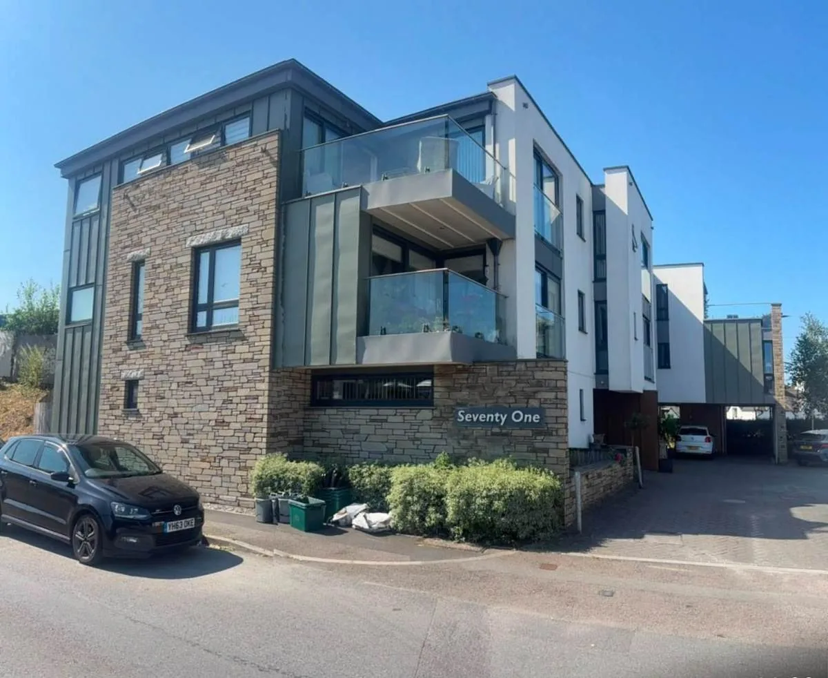
In Bridport and West Bay we take on block management, estate management and leasehold administration for RMCs, RTM companies and freeholders. Nine Environment Agency warning areas name streets along the Asker and the Brit, and a separate groundwater alert names the town. The conservation area is mapped in eleven parts and embraces over 500 listed buildings, seventeen of the parish entries at Grade II*.
What We Would Put First for a Block in Bridport
Identify Which of Nine Areas Applies
Bridport's warning areas name streets from East Street and South Mill Lane to Priory Lane and West Bay's Quayside. We would establish which area a block sits in, check the groundwater alert as well, and disclose both when placing insurance.
InsuranceConfirm Designation Status Building by Building
There are eleven mapped conservation area parts, 376 listed entries inside the Bridport boundaries and seventeen Grade II* in the parish. We would confirm each block's exact status and obtain consents before specifying any external works.
ConsentsTreat West Bay as Its Own Place
West Bay carries tidal and coastal warning areas, one behind East Beach naming Pier Terrace, Station Road and George Street, while the town centre has no coastal or tidal area. We would schedule inspections and plan reserves for a West Bay block on that basis.
InspectionsRecommend Radon Measurement
The town centre and West Bay are both class 4, a maximum radon potential of 5 to 10 per cent, and the published advice is that measurement is advised. We would recommend measuring ground-floor communal areas and record the results.
ComplianceManaging a Block in Bridport at a Glance
- Local authority
- Dorset Council
- Authority type
- Unitary
- Building control
- Dorset Council Building Control
- County
- Dorset
- Fire and rescue service
- Dorset and Wiltshire Fire and Rescue Service
- Water and sewerage
- Wessex Water
- From our Plymouth office
- About 65 miles in a straight line
- Setting
- Inland
What It Costs to Move a Block in Bridport to Us
Management is a fixed annual fee, quoted for the building and agreed before we start. We take no commission and no third-party incentives, so the fee is the whole of what we earn from the building. Taking a block on carries a one-off start-up fee, set by size:
| Block size | Fee |
|---|---|
| Start-up fee, up to 10 units | £420.00 |
| Start-up fee, up to 25 units | £540.00 |
| Start-up fee, 50 units and above | £660.00 |
Taken from our published Additional Services price list, PBM Form #01-27 rev.6, effective 23 June 2025. All fees quoted are inclusive of VAT. See the full price list and how a handover works.
Nine Warning Areas, Each Naming Specific Streets
Bridport has nine Environment Agency flood warning areas, and every one names streets in its own published description. On the Asker, one area names East Road, East Street, Asker Mead, Folly Mill Garden, Sea Road South, South Mill Lane and South Street. A second names East Road, Meville Square and Folly Mill Lane. On the Brit, one area names West Bridge, West Street, Tannery Road and St Michaels Lane. Another names South Street, Skilling Hill Road, West Bay Road and Flood Lane, and a third St Michaels Garden, Priory Lane, Vernons Court, South Walk and Castle Square. Further areas cover the North Mills, St Michaels and Dreadnought trading estates, and the Skilling playing fields. At Bothenhampton an area names West Bay Road, Meadowlands, Buttercup Way and Bramble Drive. One at West Bay itself names Forty Foot Way, Quayside, The Kiosks, Station Road and George Street. Above them sit the West Dorset rivers and streams alert and, separately, a groundwater flooding alert for the west of Dorset that names Bridport. Groundwater is therefore a distinct mechanism here, not a footnote to the rivers. The practical question for a block in Bridport is which of the nine areas it sits in, and whether the groundwater alert applies too. Bridport and West Bay should be treated as two places, and the flood data shows why. West Bay carries English Channel warning areas, a tidal harbour alert and two coastal warning areas. One covers properties along and behind the Esplanade. The other covers properties behind East Beach and names Pier Terrace, the Bridport Arms Hotel, Station Road and George Street. Bridport town centre appears only in fluvial and groundwater areas, never in a coastal or tidal one. Historic England's mapping places the Dorset and East Devon Coast World Heritage Site at West Bay East Beach but not at the harbour itself. The designation therefore takes in the beach and cliffs rather than the built harbour. The council records that the West Cliff slopes were part of a stabilisation project in 1997. Coast protection and harbour improvement works ran from 2001 to 2003. Most of the existing western pier was then demolished and a new concrete and sheet pile pier built with rock armour protection. The current scheme, costing 11 million pounds overall, started in February 2019. It adds a new sheet pile wall along the Parkdean river embankment against scour and breach failure, and a rock revetment through the shingle on East Beach. On West Beach it adds a new stub groyne with beach replenishment behind a new set back flood wall. For a block at West Bay, inspections and reserves should allow for coastal exposure that a town-centre block does not face.
Dorset's Largest Ward Dilutes the 21.5 Per Cent Flat Share
The Bridport ward held 7,185 households at the 2021 Census, with 1,548 in flats, 21.5 per cent. Of those, 1,168 were in purpose-built blocks, 161 in a converted or shared house, 117 in another converted building and 102 over commercial premises. The percentage needs a caveat. This is the largest ward in Dorset, nearly three times the county median of 2,455 households, so it takes in a good deal of countryside and the rate is diluted. The neighbouring Eggardon ward has 4.3 per cent, which shows how quickly the flat stock falls away outside the town. For a block, the town itself is more flatted than the ward figure suggests, and purpose-built blocks are the most common form.

Eleven Mapped Parts and over 500 Listed Buildings
Bridport's conservation area is mapped in eleven separate parts and West Bay's in three. The council's appraisal records that Bridport was one of the first conservation areas in the district, designated in October 1972. It has since been extended in 1994, 2000, 2004 and 2010 to take in over 500 listed buildings and a number of distinct character areas. The council's mapping data gives the designation as 26 January 1973 rather than October 1972, so the appraisal and the dataset disagree. The appraisal also contradicts itself: the amendment sheet at the front gives all four extension years, while the body text still names only 1994 and 2000. Bothenhampton has two further conservation areas of its own, both designated in February 1990. There is no Allington conservation area, despite the name being a common local assumption. For a block, the exact boundary should be confirmed against the council's map before external works are specified.
The council's appraisal states that the conservation area takes in over 500 listed buildings, and that the East and West Streets sub-area alone holds over 140, with some coherent unbroken groups. Historic England's current data for the parish, which includes West Bay, gives 507 entries, with three Grade I and seventeen Grade II*. Of these, 376 fall inside the Bridport conservation area boundaries and a further 30 inside West Bay's. With seventeen Grade II* buildings and eleven separate mapped conservation area parts, a block's exact designation status needs confirming before external works are specified.
Class 4 in the Town and at West Bay Alike
The town centre and West Bay are both class 4, a maximum radon potential of 5 to 10 per cent of homes at or above the action level. The published advice is that radon measurement is advised and that individual addresses should be checked. Across the surrounding squares the readings run from class 2 to class 4, so between 1 and 10 per cent depending on the square. For a block, radon measurement in ground-floor communal areas belongs on the compliance record.
The Neighbourhood Plan Review Is Now in Examination
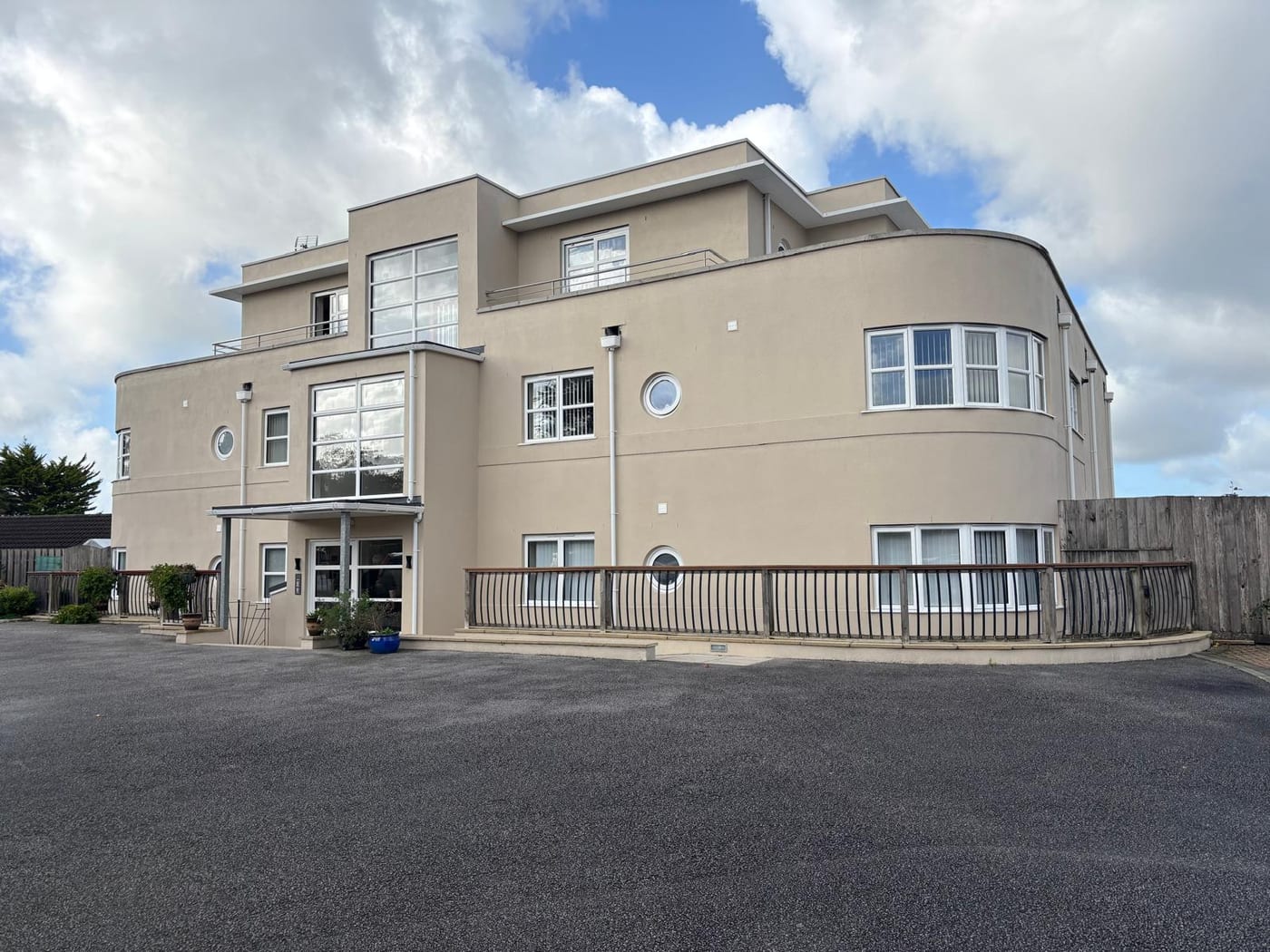
Planning decisions are made under the joint West Dorset, Weymouth and Portland Local Plan, running to 2031. West Dorset District Council adopted it on 22 October 2015, and Weymouth and Portland Borough Council on 15 October 2015. The Bridport Area Neighbourhood Plan was made on 5 May 2020. Its first review was submitted to Dorset Council on 28 April 2026 and is now in independent examination, so the policy position here is moving. The register holds two Article 4 directions named for the stretch between Bridport and Lyme Regis. Neither covers the Bridport or West Bay town centre, and both have a blank start date in the register. For a block, any application should be checked against the reviewed neighbourhood plan as well as the local plan.
Service charge or accounts query? Email accounts@
Bridport Questions
What Coastal Defence Work Has Been Done at West Bay?
Coast protection and harbour works ran from 2001 to 2003, when most of the western pier was demolished and a new concrete and sheet pile pier built with rock armour. The current scheme started in February 2019 at an overall cost of 11 million pounds. It adds a sheet pile wall along the Parkdean river embankment, a rock revetment on East Beach, and a stub groyne with beach replenishment on West Beach.
Which Plans Decide a Planning Application in Bridport?
The joint West Dorset, Weymouth and Portland Local Plan, adopted in October 2015 and running to 2031, applies alongside the Bridport Area Neighbourhood Plan made on 5 May 2020. The plan's first review was submitted to Dorset Council on 28 April 2026 and is in independent examination, so the policy position is moving.
Is There an Allington Conservation Area?
No, despite that being a common local assumption. Bridport's own designation is mapped in eleven separate parts and West Bay's in three, and Bothenhampton has two further conservation areas designated in February 1990. The council's appraisal and its mapping data also disagree on Bridport's designation date, October 1972 against 26 January 1973, so records should be read with care.
Nearby Areas
Talk to Us About Your Building in Bridport.
A free, no-obligation proposal, written so it can be circulated to a board.