Block Management in Highbridge
All of Highbridge lies in tidal Flood Zone 3a, with no conservation area to navigate.
Managing a Highbridge block for its RMC, RTM company or freeholder is work Plymouth Block Management offers, covering block, estate and leasehold management. The council's flood assessment places the whole town in tidal Flood Zone 3a, with the warning area set against the Bristol Channel. There is no conservation area, every nearby listed entry is Grade II, and radon reads the lowest band in all sixteen squares.
What We Would Put First for a Block in Highbridge
Put Flood Cover First at Renewal
The Sedgemoor assessment places all of Highbridge in tidal Flood Zone 3a, with recorded tidal events in 1979, 1981, 1983 and 1990. We would review flood cover, excesses and claims history at each renewal and register the block for Environment Agency warnings.
InsuranceReserve for Flood Reinstatement
The Bridgwater tidal barrier does not name Highbridge among its beneficiaries, and the shoreline management policy for the frontage is to hold the line. We would build a reserve fund plan that allows for reinstating ground-floor communal areas after a flood.
Reserve fundsProgramme External Works Without Heritage Delay
There is no conservation area in Highbridge and all nine nearby listed entries are Grade II. For an unlisted block we would treat redecoration and window replacement as ordinary permitted development questions and move straight to Section 20 consultation.
Major works and Section 20Managing a Block in Highbridge at a Glance
- Local authority
- Somerset Council
- Authority type
- Unitary
- Building control
- Somerset Building Control, the council's own service covering the four former district areas
- County
- Somerset
- Fire and rescue service
- Devon and Somerset Fire and Rescue Service
- Water and sewerage
- Wessex Water
- Setting
- Inland
What It Costs to Move a Block in Highbridge to Us
Management is a fixed annual fee, quoted for the building and agreed before we start. We take no commission and no third-party incentives, so the fee is the whole of what we earn from the building. Taking a block on carries a one-off start-up fee, set by size:
| Block size | Fee |
|---|---|
| Start-up fee, up to 10 units | £420.00 |
| Start-up fee, up to 25 units | £540.00 |
| Start-up fee, 50 units and above | £660.00 |
Taken from our published Additional Services price list, PBM Form #01-27 rev.6, effective 23 June 2025. All fees quoted are inclusive of VAT. See the full price list and how a handover works.
The Whole Town Sits in Tidal Flood Zone 3A
Tidal, and unusually the whole town is in it. The Sedgemoor strategic flood risk assessment states that tidal flood risk is the main source of flooding to Burnham-on-Sea and Highbridge, and that all of Highbridge and almost all of Burnham-on-Sea fall within tidal Flood Zone 3a. The River Brue runs along the southern edge of the town and is tidal only as far up as Highbridge Clyse. The town centre sits inside the Environment Agency warning area for the Somerset coast at Burnham-on-Sea, Huntspill, Highbridge and Berrow, which is classified against the Bristol Channel and names West Huntspill, Edithmead, East Brent and Rooksbridge alongside Highbridge itself; that containment was checked against the area's own polygon rather than inferred from proximity. Recorded tidal events run 1979, 1981, 1983 and 1990, with surface water problems on Highbridge Road and around the hospital. The shoreline management policy for the frontage is to hold the line across short, medium and long term. The Bridgwater tidal barrier does not name Highbridge among its beneficiaries, so it should not be offered as protection here.
85 Per Cent of Ward Flats Are Purpose-Built
The Highbridge and Burnham South ward held 4,484 households at the 2021 Census with 871 in flats, 19.4 per cent, made up of 742 in purpose-built blocks, 57 in a converted or shared house, 33 in another converted building and 39 over commercial premises. The purpose-built share is high: 85 per cent of the ward's flats are in blocks rather than conversions, which is the opposite of the pattern along the seafront a few miles north. The ward is a tight fit by area but a composite one, since it also takes in southern Burnham-on-Sea, so the figures describe the two together.
No Conservation Area and Only Grade II Listings
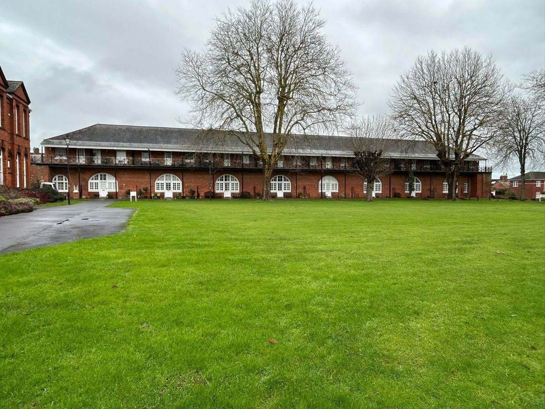
There is no conservation area in Highbridge at all, and that is a checked negative rather than a gap. The council's list of the fourteen conservation areas designated across the former Sedgemoor area runs from Axbridge through the three Bridgwater areas to Wedmore and contains no Highbridge entry, and a point query against the national dataset at the town centre returns nothing, as does a query across a thirteen kilometre box around it. The nearest is the Burnham-on-Sea area, designated 27 January 1988, whose boundary does not reach Highbridge. For a managing agent that is simplifying rather than limiting: external redecoration, window replacement and rooftop plant here are ordinary permitted development questions rather than heritage consent questions.
Nine entries on the National Heritage List sit within a two kilometre box on the town centre, and every one of them is Grade II. There is no Grade I and no Grade II* building in Highbridge. That count is computed from Historic England's open data rather than published by the council, which gives only a district figure of over 1,100 listed buildings across the former Sedgemoor area.
Lowest Radon Band in All Sixteen Squares
Lowest band, with no variation anywhere. All sixteen one-kilometre squares across the town return the lowest class on the UK Health Security Agency and British Geological Survey mapping, which states that all parts of the square fall in the lowest band with under 1 per cent of homes at or above the action level, and advises that radon measurement is not needed. Of the Somerset towns covered here this is the lowest reading of the set.
Shared Neighbourhood Plan with Burnham, Carried 2,658 To 358
Decided under the Sedgemoor Local Plan 2011 to 2032, adopted 20 February 2019. Highbridge is covered by a made neighbourhood plan shared with its neighbour, the Burnham and Highbridge Area Neighbourhood Plan, made on 17 October 2018 following a referendum on 20 September 2018 carried by 2,658 votes to 358 on a 17.62 per cent turnout, with Burnham and Highbridge Town Council as the qualifying body. No Article 4 direction is identified for Highbridge, though the council's register is not in a state that allows the point to be put beyond doubt: its only Sedgemoor entry names no town and the underlying document link is dead.
Service charge or accounts query? Email accounts@
Highbridge Questions
Does the Bridgwater Tidal Barrier Protect Highbridge?
It should not be relied on for that. The barrier does not name Highbridge among its beneficiaries. The shoreline management policy for the frontage is to hold the line across short, medium and long term, and the town centre sits inside the Environment Agency warning area for the Somerset coast at Burnham-on-Sea, Huntspill, Highbridge and Berrow.
Are There Any Listed Buildings in Highbridge?
Nine entries on the National Heritage List sit within a two kilometre box on the town centre, and every one is Grade II; there is no Grade I or Grade II* building. The council publishes only a district figure of over 1,100 listed buildings across former Sedgemoor. There is also no conservation area in the town.
Which Neighbourhood Plan Covers Highbridge?
The Burnham and Highbridge Area Neighbourhood Plan, made on 17 October 2018 after a referendum on 20 September 2018 carried by 2,658 votes to 358 on a 17.62 per cent turnout. It sits alongside the Sedgemoor Local Plan 2011 to 2032, adopted 20 February 2019. No Article 4 direction is identified for Highbridge, though the council's register cannot settle the point.
Nearby Areas
Talk to Us About Your Building in Highbridge.
A free, no-obligation proposal, written so it can be circulated to a board.