
Block Management in Nailsworth
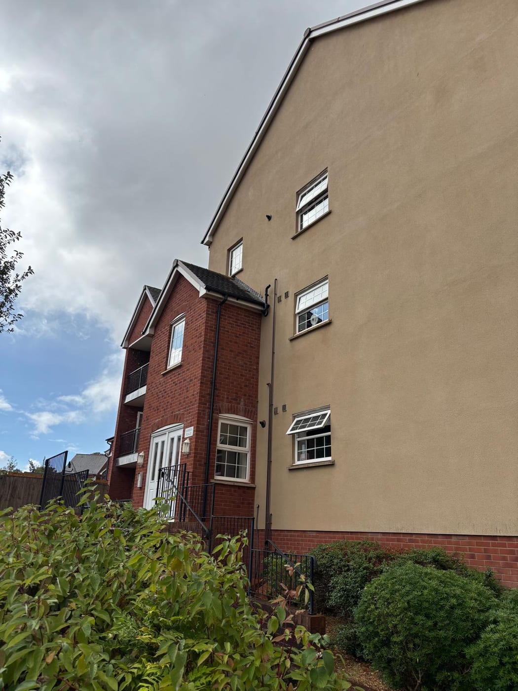
Converted mill flats on uniformly elevated radon ground.
Nailsworth blocks run by RMCs, RTM companies or freeholders can rely on us for block, estate and leasehold management. Radon class 5 covers 95.6 per cent of the town and class 6 the rest, so measurement is advised everywhere. The Nailsworth Stream has a warning area of its own, and 76 flats sit in former schools, churches and warehouses, the town's mill conversions.
What We Would Put First for a Block in Nailsworth
Measure Radon in Every Block
Class 5 covers 95.6 per cent of Nailsworth and class 6 the remaining 4.4 per cent, with no square below class 5. We would arrange radon measurement in communal areas, as advised, and record the results on the compliance file.
ComplianceSurvey Mill Conversions Before Budgeting
The town has 76 flats in other converted buildings, 3.0 per cent of households, and they are the mill conversions. For a converted mill we would schedule a building survey and set the reserve fund from its findings.
Reserve fundsRegister for Nailsworth Stream Warnings
The Nailsworth Stream warning area runs from Nailsworth to Dudbridge and covers 7.43 per cent of the built-up area. For a block inside it we would register for warnings and place insurance with that exposure disclosed.
InsuranceRead Character Guidance Before External Works
The conservation area has no adopted statement, and the council points instead to the November 2008 Industrial Heritage design guide. We would review that guide and obtain any consent before specifying works to listed or historic fabric.
Major works and Section 20Managing a Block in Nailsworth at a Glance
- Local authority
- Stroud District Council
- Authority type
- District, under the county council
- Building control
- Stroud District Council Building Control
- County
- Gloucestershire
- Fire and rescue service
- Gloucestershire Fire and Rescue Service
- Water and sewerage
- Severn Trent Water
- From our Plymouth office
- About 124 miles in a straight line
- Setting
- Inland
What It Costs to Move a Block in Nailsworth to Us
Management is a fixed annual fee, quoted for the building and agreed before we start. We take no commission and no third-party incentives, so the fee is the whole of what we earn from the building. Taking a block on carries a one-off start-up fee, set by size:
| Block size | Fee |
|---|---|
| Start-up fee, up to 10 units | £420.00 |
| Start-up fee, up to 25 units | £540.00 |
| Start-up fee, 50 units and above | £660.00 |
Taken from our published Additional Services price list, PBM Form #01-27 rev.6, effective 23 June 2025. All fees quoted are inclusive of VAT. See the full price list and how a handover works.
No Part of Nailsworth Falls Below Class 5
Across the ten one-kilometre squares over the built-up area, class 5 covers 95.6 per cent, at 10 to 30 per cent of homes at or above the action level. Class 6, the top band at greater than 30 per cent, covers the remaining 4.4 per cent. There is no square below class 5 anywhere in Nailsworth, unlike Stroud next door, and the published advice everywhere is that radon measurement is advised. For every block here, radon measurement belongs in the compliance programme.
Survey Converted Mills Before Setting Reserves
The town holds 2,553 households with 514 in flats, 20.1 per cent. Of these, 362 are in purpose-built blocks, 41 in a converted or shared house, 76 in another converted building and 35 over commercial premises. Those 76 flats in former schools, churches and warehouses are 3.0 per cent of all households, and they are the mill conversions. The Nailsworth ward covers 90 per cent of the town, but only 12.3 per cent of the ward's area lies inside it. The ward records 2,880 households against the town's 2,553, about 13 per cent more. Mill conversions bring older fabric and services not designed for separate flats, so a building survey should inform the reserve fund.
Nailsworth Has a Flood Warning Area of Its Own
Fluvial on the Nailsworth Stream, a tributary of the Frome. Two Environment Agency areas cover the town. The Rivers Frome and Cam alert covers 11.68 per cent of the built-up area. The Nailsworth Stream warning area, running from Nailsworth to Dudbridge and naming Nailsworth, Woodchester and Dudbridge, covers 7.43 per cent. Of the 4,208 flood areas in England, it is the only one whose label names Nailsworth, so the town has a designation of its own rather than a share of a catchment. No defence scheme and no count of properties flooded are published. For a block inside the warning area, registration for warnings and an accurate insurance disclosure are the practical steps.
Eleven Grade II* Buildings, Reflecting the Mill Architecture
One conservation area, first designated in March 1989, extended in November 1992 and slightly amended in 2008. It has no adopted conservation area statement, and the council says so directly. A small part of the area was included in the Industrial Heritage conservation area review between 2006 and 2008. The council suggests that the statement and design guide adopted for that area in November 2008, while not directly applying here, may still be useful on character and design. The national register holds the designation without a boundary. For a block inside the area, that guide can inform the specification of external works and any consent application.
135 entries on the National Heritage List fall inside the built-up area: one Grade I, eleven Grade II* and 123 Grade II. Eleven Grade II* buildings in a town of about 2,500 households is a high proportion, and it reflects the mill architecture rather than a market-town core. No scheduled monument lies inside the built-up area, though six sit just outside it on Minchinhampton Common and the surrounding hills. The Longfords Mills conservation area nearby is a Cotswold District designation rather than a Stroud one. For a block in a converted mill, listing should be checked before works to the fabric are specified.

No Neighbourhood Plan and No Article 4 Direction
Decided under the Stroud District Local Plan, adopted 19 November 2015, with the successor position uncertain across the district. There is no neighbourhood plan at any stage, and the council records no current applications for one. There is no Article 4 direction: Nailsworth is not among the five conservation areas in the district that have one. About 31 per cent of the built-up area lies inside the Cotswolds National Landscape, with the town centre outside it. For a block, whether that designation applies depends on its address, and it affects how external alterations are judged.
Service charge or accounts query? Email accounts@
Nailsworth Questions
Is There a Conservation Area Statement for Nailsworth?
No. The council says the conservation area, designated in March 1989 and extended in November 1992, has no adopted statement. It suggests the Industrial Heritage statement and design guide adopted in November 2008 may still help on character, although it does not directly apply.
Is Nailsworth Inside the Cotswolds National Landscape?
Partly. About 31 per cent of the built-up area lies inside the Cotswolds National Landscape, with the town centre outside it. Applications are decided by Stroud District Council under the Stroud District Local Plan adopted 19 November 2015. There is no neighbourhood plan at any stage and no Article 4 direction.
How Many Flats Are There in Nailsworth?
The town holds 2,553 households, 514 of them in flats, 20.1 per cent. Of those, 362 are in purpose-built blocks, 41 in a converted or shared house, 76 in another converted building and 35 over commercial premises. The Nailsworth ward records 2,880 households, so ward figures overstate the town by about 13 per cent.
Nearby Areas
Talk to Us About Your Building in Nailsworth.
A free, no-obligation proposal, written so it can be circulated to a board.