
Block Management in Tavistock
Tavistock's radon figures come from tested homes, with 270 above the action level in South East ward.
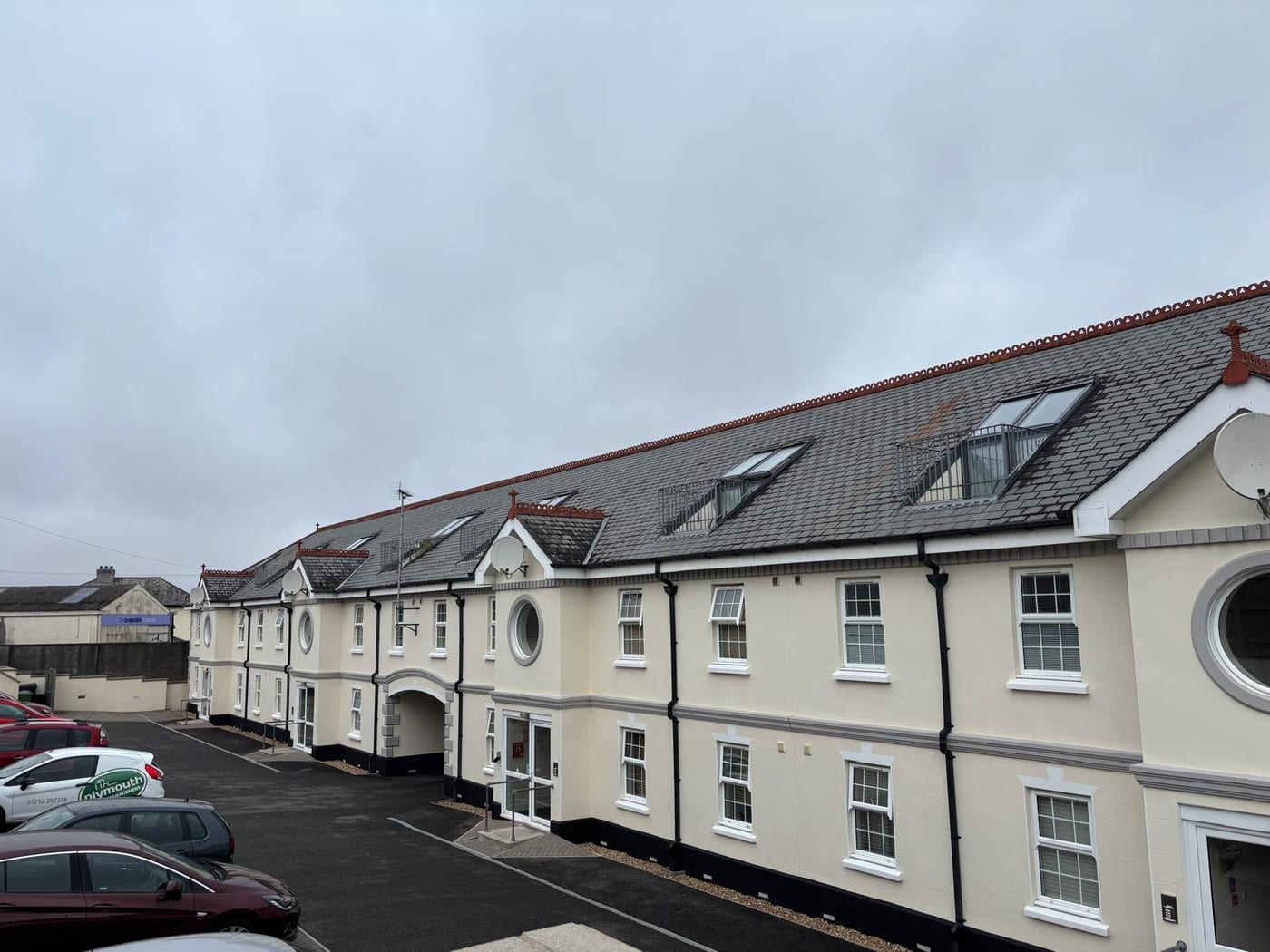
Tavistock residents' management companies, RTM companies and freeholders can hand us block and leasehold management, from service charge accounting to Section 20 works. UKHSA testing found 270 homes at or above the radon action level in Tavistock South East alone. The 2025 appraisal counts approximately 364 listed buildings inside the single conservation area.
What We Would Put First for a Block in Tavistock
Treat Listed Building Consent as Likely
With approximately 364 listed buildings in the conservation area, we would assume listed building consent is in play for a block inside the boundary. We would obtain it before specifying works, using the appraisal adopted on 8 July 2025.
ConsentsRecommend Radon Measurement in Communal Areas
Across the PL19 postcode district, 780 of 4,400 radon results were at or above the action level. We would recommend measurement in ground floor communal areas and keep the results in the compliance record.
ComplianceCheck Proposed Directions on Three Roads
The 2025 appraisal recommends Article 4 directions on windows and enclosures at Watts Road, Glanville Road and Courtenay Road. No confirmation is published, so before window works on a block there we would check the current position with the council.
ConsentsReview Cover Near the Tiddy Brook
The A386 bridge over the Tiddy Brook is considered to have only a one in 30 year capacity, and Butcher Park Hill and Bannawell Street are the main surface water risk area. We would review flood cover at placement for a block there.
InsuranceManaging a Block in Tavistock at a Glance
- Local authority
- West Devon Borough Council
- Authority type
- District, under the county council
- Building control
- West Devon Borough Council Building Control
- County
- Devon
- Fire and rescue service
- Devon and Somerset Fire and Rescue Service
- Water and sewerage
- South West Water
- From our Plymouth office
- About 13 miles in a straight line
- Setting
- Inland
What It Costs to Move a Block in Tavistock to Us
Management is a fixed annual fee, quoted for the building and agreed before we start. We take no commission and no third-party incentives, so the fee is the whole of what we earn from the building. Taking a block on carries a one-off start-up fee, set by size:
| Block size | Fee |
|---|---|
| Start-up fee, up to 10 units | £420.00 |
| Start-up fee, up to 25 units | £540.00 |
| Start-up fee, 50 units and above | £660.00 |
Taken from our published Additional Services price list, PBM Form #01-27 rev.6, effective 23 June 2025. All fees quoted are inclusive of VAT. See the full price list and how a handover works.
Approximately 364 Listed Buildings Inside One Conservation Area
One area now, and that is recent. Three separate areas designated by the county council in 1969 were amalgamated and enlarged into a single Tavistock conservation area on 17 August 2010. The boundary had been realigned in 2009 to match the World Heritage Site inscription. The appraisal and management plan were reviewed and adopted on 8 July 2025. It is one of 38 conservation areas in the borough. The town's made neighbourhood plan still refers to three conservation areas, but the council's directory and its 2025 appraisal both say one. For a block inside the boundary, the 2025 appraisal is the document to specify external works against.
The 2025 adopted appraisal counts approximately 364 listed buildings inside the conservation area, together with three scheduled monuments. The council does not publish a grade breakdown for the town. On a block inside that boundary the working assumption should be that listed building consent is in play, because the density is high enough that it usually is.
Tavistock North Holds Most of the Purpose-Built Flats
At the 2021 Census, across the three Tavistock wards, 679 of 5,825 households were in purpose-built blocks of flats. A further 133 were in a converted or shared house, 83 in another converted building and 58 over commercial premises. Tavistock North holds 405 of the purpose-built flats and 109 of the converted house flats. Flats in converted buildings need fire risk assessments suited to their layout, and those over shops need cover that reflects the commercial unit below.
Developments We Manage in Tavistock
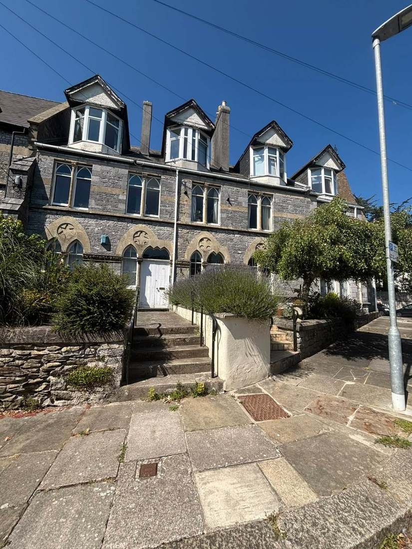
These are real buildings in our care, not a coverage list. Each one is set out in more detail, with photographs, on our property experience page.
- 71 Plymouth Road, a house and seven apartments, PL19
The Tiddy Brook, Not the Tide, Drives Flood Risk
Fluvial and surface water. The borough's own strategic flood risk assessment says in terms that the town is not subject to tidal flooding. The Environment Agency's warning area for the Tavy from Mary Tavy to Lopwell names the Pitts Cleave industrial estate and the A386. The assessment records a history of flooding from the Tiddy Brook, parts of which are culverted. The culverts were improved in the late 1980s after the Bishopsmead estate around Oak Road flooded in 1986. The A386 bridge over the brook is considered to have only a one in 30 year capacity. Butcher Park Hill and Bannawell Street are named as the main surface water risk area. A block near the brook or in that surface water area should have its flood cover reviewed when insurance is placed.

270 Tested Homes Above the Action Level in One Ward
Measured rather than modelled, and high. UKHSA's 2016 data report gives results by ward. In Tavistock North, 1,300 homes were tested and 200 came back at or above the action level. In Tavistock South East, 1,100 were tested and 270 were at or above. In Tavistock South West, 850 were tested and 83. Across the PL19 postcode district, 780 of 4,400 results were at or above the action level. Those are counts of homes actually measured, not a percentage of all homes, because testing is self-selecting. Blocks here should have ground floor flats and communal areas measured, with the results kept in the compliance record.
Article 4 Directions Recommended, Not Yet Confirmed
Decided under the Plymouth and South West Devon Joint Local Plan 2014 to 2034, adopted by West Devon on 26 March 2019. It was confirmed as sound at its five year review in 2024. The Tavistock Neighbourhood Plan 2022 to 2034 was made in June 2025. Its referendum on 1 May 2025 was carried by 3,237 votes to 451, 87.7 per cent in favour on a 38.3 per cent turnout. The 2025 appraisal recommends Article 4 directions on windows and enclosures at Watts Road, Glanville Road and Courtenay Road. Those are recommendations and no confirmation is published. Before window works on a block on those roads, the current position should be checked with the council.
Service charge or accounts query? Email accounts@
Tavistock Questions
Is Tavistock One Conservation Area or Three?
One. Three areas designated by the county council in 1969 were amalgamated and enlarged into a single Tavistock conservation area on 17 August 2010. The boundary had been realigned in 2009 to match the World Heritage Site inscription. The town's neighbourhood plan still refers to three, but the council's directory and its 2025 appraisal both say one.
How Reliable Are Tavistock's Radon Figures?
They are measured rather than modelled. UKHSA's 2016 report gives 200 of 1,300 tested homes at or above the action level in Tavistock North, 270 of 1,100 in South East and 83 of 850 in the South West. Testing is self-selecting, so these are counts of homes actually measured rather than a percentage of all homes.
Is Tavistock at Risk of Tidal Flooding?
No. West Devon's strategic flood risk assessment says the town is not subject to tidal flooding. The risks are fluvial and surface water. The Tavy warning area names the Pitts Cleave industrial estate and the A386, and the partly culverted Tiddy Brook has a history of flooding, including the Bishopsmead estate around Oak Road in 1986.
Nearby Areas
Talk to Us About Your Building in Tavistock.
A free, no-obligation proposal, written so it can be circulated to a board.