
Block Management in Saltash
Half the listed buildings sit outside any conservation area, including two Grade I
Plymouth Block Management takes on block, estate and leasehold management for Saltash RMCs, RTM companies and freeholders. Most of the town, including upper Fore Street, is outside any conservation area, yet two of its three Grade I entries sit in that unprotected half. On the riverside, shoreline policy switches from hold the line to no active intervention at the town's northern edge.
What We Would Put First for a Block in Saltash
Confirm the Frontage's Shoreline Policy
The Saltash and Lynher units are hold the line, but the upper estuary unit from Gunnislake to Saltash North is no active intervention. For a riverside block we would establish which side of that line it stands on and plan the reserve fund accordingly.
Reserve fundsCheck Listing Even Outside the Conservation Area
Only 26 of Saltash's 52 listed entries sit inside a conservation area, and two of the three Grade I entries are outside both. We would check listing at the address and obtain any consent before specifying works.
Major works and Section 20Measure Radon in Communal Areas
79.3 per cent of mapped Saltash is class 4 and 20.7 per cent class 5, with no class 6 ground. With 5 to 10 and 10 to 30 per cent of homes at or above the action level in those bands, we would recommend measurement in ground-floor communal areas and keep the results on file.
ComplianceSet Realistic Flood Warning Expectations
No warning area names Saltash; the River Lynher alert covers 1.49 per cent of the built-up area. We would brief directors that a block here relies on alerts rather than street-level warnings and place insurance with that in mind.
InsuranceManaging a Block in Saltash at a Glance
- Local authority
- Cornwall Council
- Authority type
- Unitary
- Building control
- Cornwall Council Building Control
- County
- Cornwall
- Fire and rescue service
- Cornwall Fire and Rescue Service
- Water and sewerage
- South West Water
- From our Plymouth office
- About 5 miles in a straight line
- Setting
- Inland
What It Costs to Move a Block in Saltash to Us
Management is a fixed annual fee, quoted for the building and agreed before we start. We take no commission and no third-party incentives, so the fee is the whole of what we earn from the building. Taking a block on carries a one-off start-up fee, set by size:
| Block size | Fee |
|---|---|
| Start-up fee, up to 10 units | £420.00 |
| Start-up fee, up to 25 units | £540.00 |
| Start-up fee, 50 units and above | £660.00 |
Taken from our published Additional Services price list, PBM Form #01-27 rev.6, effective 23 June 2025. All fees quoted are inclusive of VAT. See the full price list and how a handover works.
Half the Listed Stock Has No Conservation Area Overlay
Saltash has no town-wide conservation area, and the town centre designation is smaller than people assume. The Lower Fore Street area, made on 1 March 1993, covers only the lower waterfront end of the street. It runs to 6.5 hectares, just 1.6 per cent of the built-up area. Most of Saltash, including upper Fore Street, sits outside any conservation area. A second area at Forder and Antony Passage, a separate creekside hamlet designated in September 1978, clips the edge of the town. Only about 8 per cent of its 101 hectares lies inside the built-up area. Neither has an appraisal link registered. Historic England's list holds 105 entries in the parish. Four are grade I: the church of St Stephen, the parish church of St Nicholas and St Faith, Ince Castle and a granite archway and wall fronting the road. Six are grade II star. Whether a block sits inside a conservation area is the first thing to establish before advising on any external work here.
52 entries on the National Heritage List fall inside the built-up area, and three of them are Grade I: the parish church of St Nicholas and St Faith, the Church of St Stephen, and the granite archway and wall fronting the road at Kingsleigh House. Only 26 of the 52 sit inside either conservation area, so half the town's listed stock has no conservation area overlay at all. Two of the three Grade I entries are among that half. The Grade II* higher lodge at Trematon Castle sits inside the Forder conservation area but outside the built-up area. Listing should be checked at the address of every block, even outside a conservation area, before works are specified.
Purpose-Built Flats Far Outnumber Conversions in Saltash
Saltash's flats are mainly purpose-built. At the 2021 Census the Essa division had 408 flats in 2,969 households and the Tamar division 392 in 2,856, both 13.7 per cent. In both, the purpose-built count far exceeds conversions: 290 against 56 in Essa and 315 against 58 in Tamar. The Trematon and Landrake division is largely rural at 3.4 per cent. The three divisions together hold 8,258 households, overstating the town by about a fifth. The overstatement sits almost entirely in Trematon and Landrake, whose 54.4 per cent detached share is rural and more than double the town's own. The census output areas inside the built-up area hold 6,852 households. Of these, 644 are in purpose-built blocks, 9.4 per cent, 118 in a converted or shared house, 38 in another converted building and 50 over commercial premises, and the town is 32.1 per cent terraced. Purpose-built blocks call for reserve funds planned around their maintenance cycles.

Developments We Manage in Saltash
These are real buildings in our care, not a coverage list. Each one is set out in more detail, with photographs, on our property experience page.
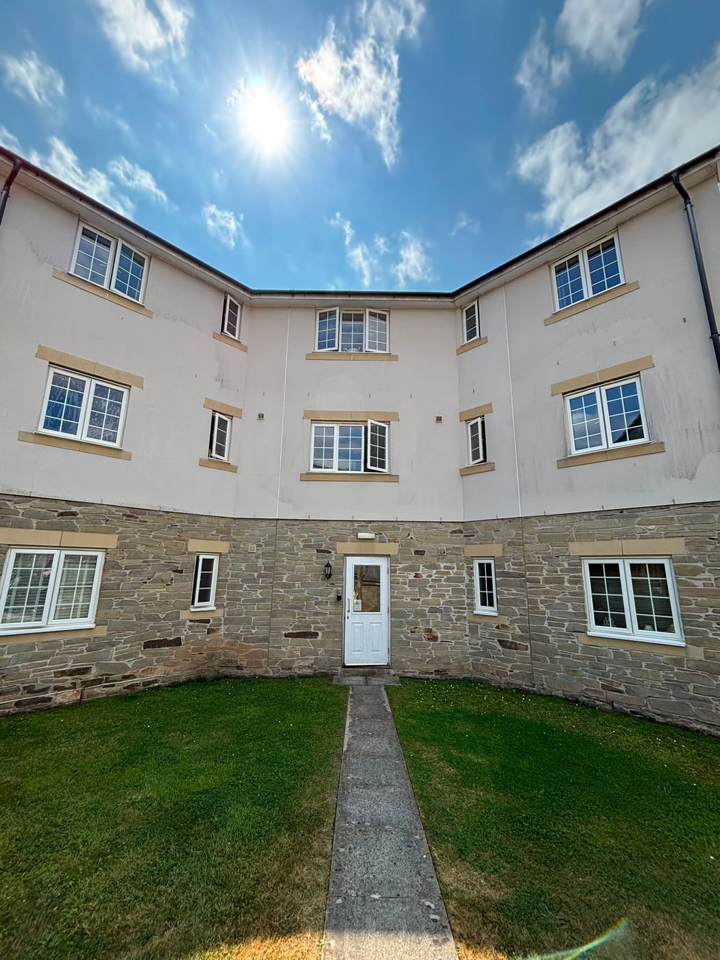
- Brunel Mews, an estate of three apartment blocks, taken over from the previous managing agent
- Royal Albert Court, a development where we carry out weekly fire alarm testing
No Flood Warning Area Names Saltash or Its Streets
Saltash faces fluvial and tidal flooding from different sources. The only Environment Agency area whose text names Saltash is the River Lynher alert, alongside Callington, Rilla Mill, Pillaton and Landrake. It is an alert rather than a warning, covering 1.49 per cent of the built-up area. The tidal Tamar and Lynher at the town fall inside the Plymouth Sound and tidal estuaries area. That warning area and its parent alert each cover a little under one per cent, and their descriptions name Cawsand, Kingsand, Millbrook and the Hoe but not Saltash. The Lower Tamar alert clips a tenth of a per cent. No defence scheme is published, and no flood warning area names this town or any street in it. Directors of a riverside block should expect alerts rather than street-level warnings, and insurance should be placed with that in mind.

Low for Cornwall, with No Class 6 Ground
Radon in Saltash is at the low end for Cornwall, so a county-wide statement would be wrong here. Of the land the mapping covers, 79.3 per cent is class 4, at 5 to 10 per cent of homes at or above the action level. The other 20.7 per cent is class 5 at 10 to 30 per cent. There is no class 6 ground anywhere in the built-up area, unlike St Just and Penryn. Both bands present still call for radon measurement in ground-floor flats and communal areas, with the results kept on file.
A Neighbourhood Plan Made in April 2022
Applications are decided under the Cornwall Local Plan and the Saltash Neighbourhood Development Plan, made on 12 April 2022. The referendum on 17 March 2022 carried it by 2,343 votes to 187, 92.4 per cent in favour on a 19.9 per cent turnout. External works and changes of use for a block are judged against both plans.
Service charge or accounts query? Email accounts@
Saltash Questions
Is Saltash Town Centre in a Conservation Area?
Only the lower waterfront end. The Lower Fore Street conservation area, made on 1 March 1993, covers 6.5 hectares, just 1.6 per cent of the built-up area. Upper Fore Street and most of Saltash sit outside any conservation area. A second area at Forder and Antony Passage clips the town's edge, and neither has an appraisal link registered.
Will a Riverside Block in Saltash Be Defended Under Shoreline Policy?
It depends on location. The unit named for Saltash on the Tamar and the Lynher unit toward Torpoint are hold the line across all three epochs. The upper estuary unit from Gunnislake down to Saltash North is no active intervention across all three. The two policies meet at the town's northern edge.
Does Saltash Get Environment Agency Flood Warnings?
No flood warning area names Saltash or any street in it. The town is named only in the River Lynher alert, which covers 1.49 per cent of the built-up area. The Plymouth Sound warning area covers a little under one per cent but names Cawsand, Kingsand, Millbrook and the Hoe rather than Saltash.
Nearby Areas
Talk to Us About Your Building in Saltash.
A free, no-obligation proposal, written so it can be circulated to a board.