
Block Management in Wadebridge
At the tidal limit of the Camel, with flood zone 3 over 11.6 per cent.
Plymouth Block Management would act for an RMC, RTM company or freeholder in Wadebridge across block, estate and leasehold management. Flood zone 3 covers 11.6 per cent of the built-up area, the River Camel warning names Harbour Road, Guineaport Road and The Platt, and the Polmorla pumping station is under refurbishment. Radon is class 5 in every square, and 15.41 per cent of households live in purpose-built blocks.
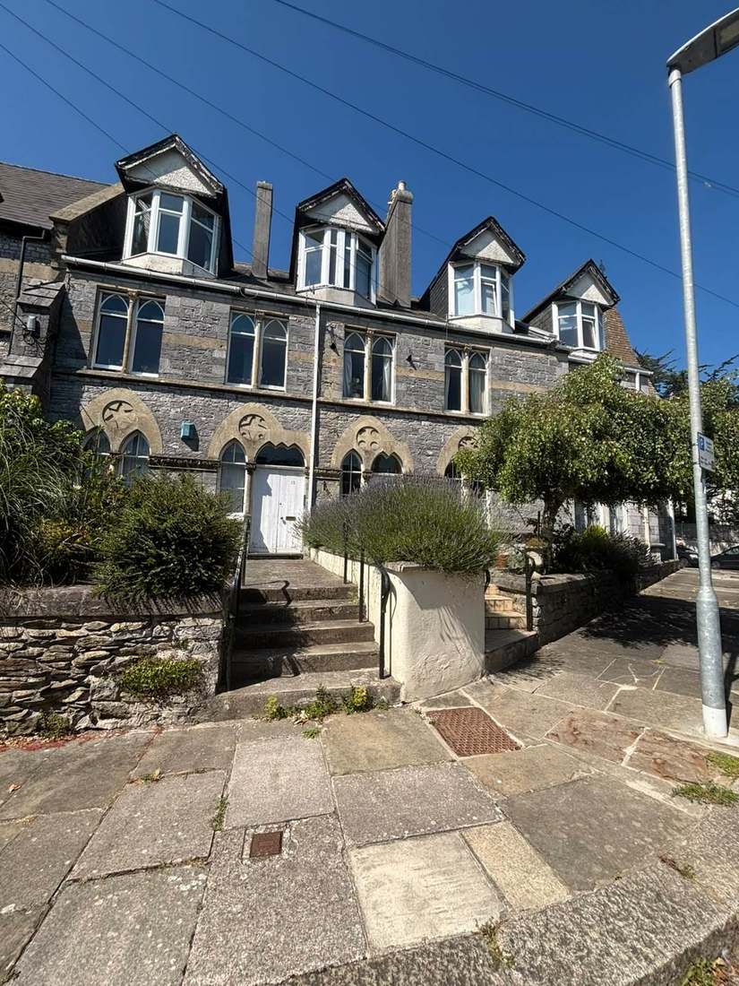
What We Would Put First for a Block in Wadebridge
Review Flood Cover on the Camel Warning Streets
The River Camel warning names Egloshayle, the Polmorla Stream, Harbour Road, Guineaport Road, The Platt, Eddystone Road and Jubilee Road, and the tidal estuary area covers 12.20 per cent of the town. For a block there we would review flood cover at each renewal.
InsuranceMeasure Radon in Every Block
All ten squares over Wadebridge are class 5, at 10 to 30 per cent of homes at or above the action level, and measurement is advised. We would recommend radon measurement in ground-floor communal areas and keep the results on file.
ComplianceInspect Culverts and Drainage
The council records that the culverted Trenant Vale watercourse has a history of flooding, and two critical drainage areas cover the town. We would add drains, gullies and any culvert outfalls on the block's land to scheduled inspections.
InspectionsFund Purpose-Built Block Reserves
409 of the 2,654 households in the town live in purpose-built blocks, 15.41 per cent. We would set a reserve fund plan from a condition survey so major items are funded ahead of need.
Reserve fundsManaging a Block in Wadebridge at a Glance
- Local authority
- Cornwall Council
- Authority type
- Unitary
- Building control
- Cornwall Council Building Control
- County
- Cornwall
- Fire and rescue service
- Cornwall Fire and Rescue Service
- Water and sewerage
- South West Water
- From our Plymouth office
- About 33 miles in a straight line
- Setting
- Tidal estuary (Camel)
What It Costs to Move a Block in Wadebridge to Us
Management is a fixed annual fee, quoted for the building and agreed before we start. We take no commission and no third-party incentives, so the fee is the whole of what we earn from the building. Taking a block on carries a one-off start-up fee, set by size:
| Block size | Fee |
|---|---|
| Start-up fee, up to 10 units | £420.00 |
| Start-up fee, up to 25 units | £540.00 |
| Start-up fee, 50 units and above | £660.00 |
Taken from our published Additional Services price list, PBM Form #01-27 rev.6, effective 23 June 2025. All fees quoted are inclusive of VAT. See the full price list and how a handover works.
Tidal and Fluvial Flooding Meet at the Camel's Limit
Wadebridge sits at the tidal limit of the Camel and is exposed both tidally and fluvially. Flood zone 3 covers 11.6 per cent of the built-up area. The tidal Camel estuary warning area covers 12.20 per cent of the built-up area and names low-lying areas of Wadebridge and Egloshayle. The River Camel fluvial warning area covers 5.33 per cent. It names Egloshayle, the Polmorla Stream, Harbour Road, Guineaport Road, The Platt, Eddystone Road and Jubilee Road. Above them the North Cornwall Rivers alert covers 7.22 per cent. Two critical drainage areas cover the town. The council records that the Trenant Vale watercourse is culverted with a history of flooding. The council's appraisal records that a flood defence system was built in 1989 following six floodings in ten years. The Polmorla River is controlled by a tidal flap and a pumping station built in 1991. That pumping station is a critical part of the Wadebridge flood alleviation scheme and is now itself subject to a refurbishment project. Wadebridge is named a priority community in the council's strategy. No scheme cost is published. The appraisal also notes that significant areas of floodplain either side of the river remain undeveloped. A block on the named streets should have its flood cover reviewed at each renewal, and drains and culvert outfalls on its land inspected.
One Household in Seven Lives in a Purpose-Built Block
At the 2021 Census the two divisions covering the town held 5,813 households between them. Of these, 500 were flats in purpose-built blocks, 119 in a converted or shared house, 64 in other converted buildings and 75 over commercial premises. The western division carries most of the purpose-built stock at 382 of the 500. The two divisions together are more than twice the size of the town, reaching out to St Mabyn, St Minver and the Rock and Polzeath coast. They differ from each other by nearly a factor of three on flats. The 20 census output areas inside the built-up area hold 2,654 households. Of these, 409 are in purpose-built blocks, 15.41 per cent, with 73 in a converted or shared house, 34 in another converted building and 53 over commercial premises. More than one household in seven in Wadebridge lives in a purpose-built block, and the flats are in the town rather than in the rural remainder. Those blocks need a reserve fund plan based on a condition survey, so major items are funded ahead of need.
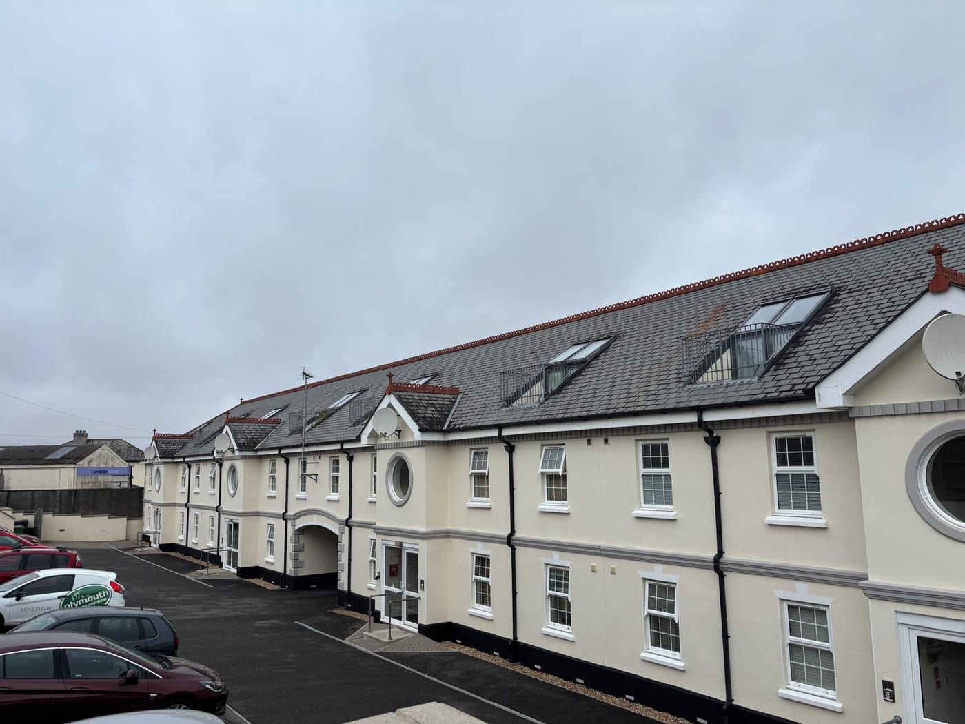
Grade I Church Sits at Egloshayle, Beyond the Built-Up Area
One area, designated on 15 May 1992. Its combined appraisal and management plan of March 2013 runs to 96 pages. The council endorsed it on 22 March 2013 as a material consideration, with recommended boundary changes authorised and taking effect on the same day. The council describes the area as based on the riverside corridor including the town centre and Egloshayle village. Its own count for the area is 40 listed buildings. All are grade II apart from Wadebridge Bridge, which is grade II star and also scheduled, and Egloshayle parish church, which is grade I. External works to a block inside the area should be specified against the 2013 appraisal.
The council's appraisal records 40 listed buildings in the conservation area. All are Grade II except Wadebridge Bridge, which is Grade II* and also scheduled, and Egloshayle parish church, which is Grade I. Within the built-up town itself there are 26 entries, every one Grade II. The Grade I church stands at Egloshayle and the Grade II* bridge spans the river; both lie outside the built-up area but inside the conservation area. Three scheduled monuments sit here, two wayside crosses in Egloshayle churchyard and the late medieval bridge itself. A block in one of the listed buildings needs listed building consent for works that affect its character.
Class 5 in All Ten Squares, with No Variation
Uniform across the town. All ten one-kilometre squares over the built-up area are class 5 of 6, where the maximum radon potential is 10 to 30 per cent of homes at or above the action level. The published advice is that radon measurement is advised. There is no variation anywhere in the town, so every block should have ground floor flats and communal areas measured, with the results kept on file.

Neighbourhood Plan Stalled After 2018 Pre-Submission Consultation
Decided under the Cornwall Local Plan strategic policies for 2010 to 2030, adopted in November 2016. Wadebridge is the main settlement of its community network area. The plan's policy for it requires that regeneration of the town centre take account of its liability to flooding. The council's site allocations document of November 2019 covers ten Cornish towns, and Wadebridge is not among them. There is no made neighbourhood plan. The joint Wadebridge, Egloshayle and St Breock plan completed its pre-submission consultation on 10 April 2018 and has not progressed since, so no referendum has been held. No Article 4 direction is recorded, and Cornwall Council has published no Article 4 records to the national register. The 2013 appraisal notes that the replacement of windows and doors is not currently controlled on unlisted buildings. It says the authority will consider a direction to prevent harmful alterations in future, but that is a proposal rather than a made direction. Before a window programme on a block in the conservation area is specified, the current position should be checked with the council.
Service charge or accounts query? Email accounts@
Wadebridge Questions
Does Wadebridge Have a Grade I Listed Building?
Yes. The council's appraisal records 40 listed buildings in the conservation area, including Grade I Egloshayle parish church and the Grade II* and scheduled Wadebridge Bridge. Within the built-up town there are 26 entries, all Grade II, because the church and bridge lie outside it while staying inside the conservation area.
Is There a Flood Defence Scheme in Wadebridge?
Yes. The council's appraisal records a flood defence system built in 1989 after six floodings in ten years. The Polmorla River is controlled by a tidal flap and a 1991 pumping station that is a critical part of the alleviation scheme and is now subject to refurbishment. Wadebridge is a priority community in the council's strategy, though no scheme cost is published.
Are Windows and Doors Controlled in the Wadebridge Conservation Area?
Not currently on unlisted buildings. The 2013 appraisal notes that replacement of windows and doors is not controlled on unlisted buildings. It says the council will consider a direction to prevent harmful alterations, but that is a proposal rather than a made direction. Cornwall Council has published no Article 4 records to the national register.
Nearby Areas
Talk to Us About Your Building in Wadebridge.
A free, no-obligation proposal, written so it can be circulated to a board.