
Block Management in Kingsbridge
High tides can lock the culverts and put water in the lower town, undefended.
From our Plymouth head office we provide block, estate and leasehold management for Kingsbridge residents' management companies, RTM companies and freeholders. The quayside and lower town are directly at risk from the estuary, with no formal defences and at least 12 flood events reported in 25 years. Every kilometre square over the town returns radon class 5 or 6, and a quarter of ward households live in flats.

What We Would Put First for a Block in Kingsbridge
Review Flood Cover for Quayside Blocks
The made neighbourhood plan names Kingsbridge Quayside, Ilbert Road, Mill Street, Bridge Street, Prince of Wales Road and Lime Grove as regularly flooding. For a block on those streets we would review flood cover at each placement and keep claims records ready.
InsuranceRecommend Communal Radon Measurement
Thirteen of the sixteen kilometre squares over Kingsbridge are class 5 and the other three class 6. We would recommend radon measurement in ground floor communal areas and record the results in the compliance file.
ComplianceCheck Heritage Status Before External Works
Beyond 123 list entries, the made neighbourhood plan records well over 400 non-designated heritage assets that matter in planning decisions. We would check a block against both before specifying external works and obtain consents first.
ConsentsBudget Reserves for an Undefended Lower Town
The 1.5 million pound alleviation scheme is listed only as required infrastructure, and the lower town has no formal defences. For a block there we would plan the reserve fund on the position as it stands rather than on a scheme yet to come.
Reserve fundsManaging a Block in Kingsbridge at a Glance
- Local authority
- South Hams District Council
- Authority type
- District, under the county council
- Building control
- South Hams District Council Building Control
- County
- Devon
- Fire and rescue service
- Devon and Somerset Fire and Rescue Service
- Water and sewerage
- South West Water
- From our Plymouth office
- About 16 miles in a straight line
- Setting
- Inland
What It Costs to Move a Block in Kingsbridge to Us
Management is a fixed annual fee, quoted for the building and agreed before we start. We take no commission and no third-party incentives, so the fee is the whole of what we earn from the building. Taking a block on carries a one-off start-up fee, set by size:
| Block size | Fee |
|---|---|
| Start-up fee, up to 10 units | £420.00 |
| Start-up fee, up to 25 units | £540.00 |
| Start-up fee, 50 units and above | £660.00 |
Taken from our published Additional Services price list, PBM Form #01-27 rev.6, effective 23 June 2025. All fees quoted are inclusive of VAT. See the full price list and how a handover works.
High Tides Can Flood the Lower Town Without Overtopping
Tidal, with tide lock, and no formal defences. The council's strategic flood risk assessment states that the quayside and lower town are directly at risk from the estuary. Fluvial flooding can occur in the lower town at high tide, when the culverted watercourses discharging to the quay become tide locked. During a very high tide, water can also reach road level in the lower town through the highway drainage without the quay being overtopped at all. At least 12 flood events were reported in 25 years. The made neighbourhood plan names Kingsbridge Quayside, Ilbert Road, Mill Street, Bridge Street, Prince of Wales Road and Lime Grove as regularly flooding. A 1.5 million pound flood alleviation scheme benefiting over 200 properties is listed as required infrastructure in the local plan. Until it is built, blocks in the lower town should be insured and budgeted on the current, undefended position.
One in Four Ward Households Lives in a Flat
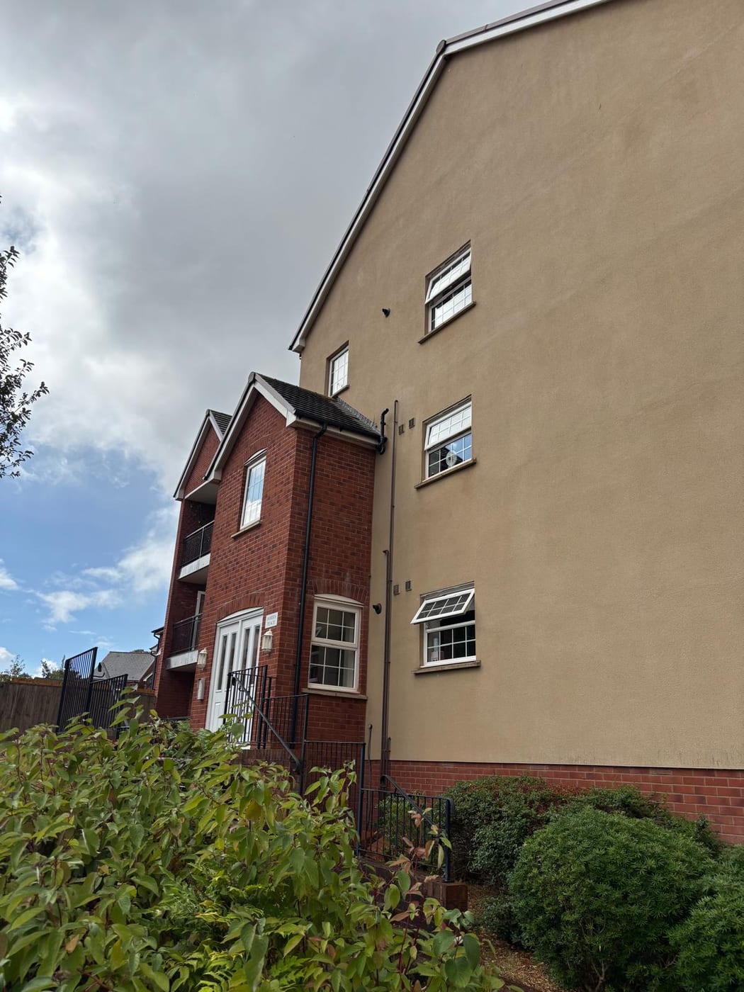
At the 2021 Census 667 of the 2,665 households in the Kingsbridge ward were flats, 25 per cent. Of those, 471 were purpose-built, 78 in a converted or shared house, 66 in another converted building and 52 over commercial premises. One in four households in the ward lives in a flat, so blocks are a substantial part of the town's housing.
Over 400 Non-Designated Heritage Assets Beyond the Listed 123
One area, first designated by the county council on 28 January 1972 and extended twice, on 3 October 1985 and 24 February 1994. Dodbrooke sits inside Kingsbridge parish rather than being a separate area, and no appraisal is published. Historic England's list holds 123 entries in the parish, two of them grade I, the church of St Edmund and the church of St Thomas a Becket at Dodbrooke, and three grade II star. The made neighbourhood plan adds that there are well over 400 non-designated heritage assets in the plan area, which matter in a planning decision without being listed. Before external works to a block, both its listed status and its non-designated heritage status should be checked.
Every Square over Kingsbridge Is Radon Class 5 or 6
Class 5 of 6 across the town, where the maximum radon potential is 10 to 30 per cent of homes above the action level. Thirteen of the sixteen kilometre squares are class 5 and three class 6, and both the quay tide gauge and the ward centroid are class 5. Radon measurement in ground-floor communal areas should be a standing compliance item for blocks here.

Town Centre Inside the South Devon National Landscape
Decided under the Plymouth and South West Devon Joint Local Plan 2014 to 2034, adopted by South Hams on 21 March 2019, with Kingsbridge a main town in the Thriving Towns and Villages policy area and 267 homes allocated across three sites. The joint Kingsbridge, West Alvington and Churchstow Neighbourhood Plan was made on 15 December 2022. There is no Article 4 direction anywhere in the district. The town centre sits inside the South Devon National Landscape, designated on 1 August 1960, rather than merely abutting it, so external works to a town centre block need to respect that designation.
Service charge or accounts query? Email accounts@
Kingsbridge Questions
Why Can the Lower Town Flood When the Quay Is Not Overtopped?
The council's strategic flood risk assessment records that during a very high tide water can reach road level in the lower town through the highway drainage without the quay being overtopped at all. Fluvial flooding can also occur at high tide when the culverted watercourses discharging to the quay become tide locked. There are no formal defences.
Is a Flood Alleviation Scheme Planned for Kingsbridge?
A 1.5 million pound flood alleviation scheme benefiting over 200 properties is listed as required infrastructure in the local plan. That is a listing of need rather than a scheme under way, so a block in the lower town should be insured and budgeted on the current position, with at least 12 flood events reported in 25 years.
Does Kingsbridge Have an Article 4 Direction?
No. There is no Article 4 direction anywhere in South Hams. The town centre does sit inside the South Devon National Landscape, designated on 1 August 1960, and the joint Kingsbridge, West Alvington and Churchstow Neighbourhood Plan was made on 15 December 2022, alongside the Plymouth and South West Devon Joint Local Plan.
Nearby Areas
Talk to Us About Your Building in Kingsbridge.
A free, no-obligation proposal, written so it can be circulated to a board.