
Block Management in Liskeard
Top-band radon almost everywhere, yet only a river alert touches the town
Plymouth Block Management offers residents' management companies, RTM companies and freeholders in Liskeard block, estate and leasehold management on fixed fees. Eleven of the twelve one-kilometre squares over the town are radon class 6, where measurement is advised. Flood exposure is light by comparison: only the Rivers Looe and Seaton alert reaches Liskeard, covering 1.8 per cent of the built-up area.

What We Would Put First for a Block in Liskeard
Measure Radon as a Standing Item
Eleven of the twelve squares over Liskeard are class 6, above 30 per cent of homes at or above the action level. We would arrange radon measurement in communal areas, as advised, and keep the results on the compliance record.
ComplianceAsk Cornwall Council About Article 4
Cornwall has published no Article 4 records to the national register, so an absence there proves nothing for Liskeard. We would ask the council directly before specifying external works in or near the town centre conservation area.
Major works and Section 20Survey Listed Fabric in the Centre
167 listed entries fall inside the built-up area, five of them Grade II*, including the Guildhall and Stuart House, and no appraisal is published for the conservation area. For a listed block we would schedule a survey before any works are planned.
InspectionsManaging a Block in Liskeard at a Glance
- Local authority
- Cornwall Council
- Authority type
- Unitary
- Building control
- Cornwall Council Building Control
- County
- Cornwall
- Fire and rescue service
- Cornwall Fire and Rescue Service
- Water and sewerage
- South West Water
- From our Plymouth office
- About 16 miles in a straight line
- Setting
- Inland
What It Costs to Move a Block in Liskeard to Us
Management is a fixed annual fee, quoted for the building and agreed before we start. We take no commission and no third-party incentives, so the fee is the whole of what we earn from the building. Taking a block on carries a one-off start-up fee, set by size:
| Block size | Fee |
|---|---|
| Start-up fee, up to 10 units | £420.00 |
| Start-up fee, up to 25 units | £540.00 |
| Start-up fee, 50 units and above | £660.00 |
Taken from our published Additional Services price list, PBM Form #01-27 rev.6, effective 23 June 2025. All fees quoted are inclusive of VAT. See the full price list and how a handover works.
Eleven of Twelve Squares Sit in the Top Band
The top band across the whole town, with essentially no variation. Eleven of the twelve one-kilometre squares over the built-up area are class 6, covering effectively all of it by area. There the maximum radon potential is greater than 30 per cent of homes at or above the action level and radon measurement is advised. The twelfth square is class 5. Radon measurement in communal areas should be a standing compliance item for every block here.
Mostly Purpose-Built Flats in a Terraced Market Town
At the 2021 Census 487 of the 3,349 households in Liskeard Central were flats, 14.5 per cent. Of those, 317 were purpose-built, 53 in a converted or shared house, 63 in another converted building and 54 over commercial premises. The neighbouring Liskeard South and Dobwalls division is much lower at 8.2 per cent. Across the built-up area as a whole there are 4,895 households. Of those, 471 are in purpose-built blocks, 9.6 per cent, 76 in a converted or shared house, 78 in another converted building and 60 over commercial premises. Liskeard is 32.0 per cent terraced, and at 4.4 per cent its combined converted and commercial stock is less than half Mevagissey's, which is the difference between a market town and a dense harbour core. Most blocks here are purpose-built, with a smaller number of conversions and flats over shops.

Only a River Alert Reaches Liskeard, Covering 1.8 Per Cent
Fluvial only. Exactly one Environment Agency area contains any part of Liskeard: the Rivers Looe and Seaton alert, which covers 1.8 per cent of the built-up area and names Liskeard, Polperro, Jopes Mill and Hessenford. Liskeard appears in no tidal or coastal area, and no flood warning area reaches the town. Every warning area nearby, on the Fowey, the Seaton, the Lynher and the south Cornwall coast, is between four and eight kilometres away with no overlap. No defence scheme is published, so the practical position is a general alert rather than a property-level warning service. The council's flood investigations bear this out: Liskeard appears in the 2012 report only as a road closure of about two hours, with no property flooding investigation on record in any of the 2012, 2013, 2014 or 2017 reports. For a block here, flood is a minor insurance question.
A Conservation Area with No Published Appraisal
One conservation area covering the town centre, designated 1 February 1977 and covering 10.6 per cent of the built-up area. No appraisal or conservation area statement is published for it: of Cornwall's 145 conservation areas only 58 carry a documentation link, and Liskeard is not among them. Historic England's list holds 194 entries in the parish, none grade I and six grade II star, being the church of St Martin, the Guildhall, Stuart House, the clock tower, the viaduct and a cross beside the church. Without an appraisal, the boundary map and the council are the only guides for external works to a block in the centre.
167 entries on the National Heritage List fall inside the built-up area. None is Grade I and five are Grade II*: the parish church of St Martin, Stuart House, the Guildhall, the cross beside the church, and the viaduct with the piers of its earlier predecessor. The viaduct is infrastructure rather than a building. For a listed block, listed building consent is needed before external works are specified.
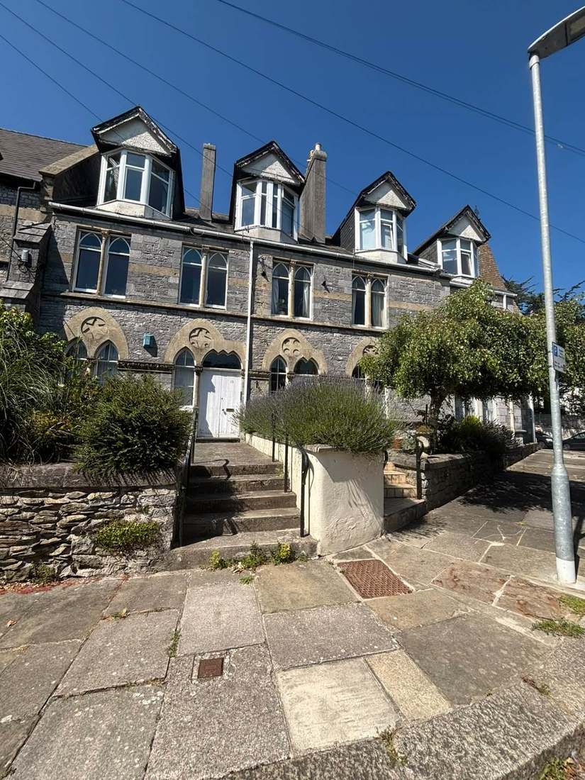
Article 4 Status Has to Be Asked of the Council
Decided under the Cornwall Local Plan, with the Liskeard Neighbourhood Development Plan made on 19 November 2018. The council publishes the made date and the register reference but not the referendum turnout or the vote split. Cornwall Council has published no Article 4 records at all to the national register, so an absence there proves nothing. The council has to be asked directly before anyone relies on permitted development for external works to a block.
Service charge or accounts query? Email accounts@
Liskeard Questions
How Likely Is Flooding for a Block in Liskeard?
Low. The only Environment Agency area containing any of Liskeard is the Rivers Looe and Seaton alert, covering 1.8 per cent of the built-up area. No warning area reaches the town, and council flood reports from 2012 to 2017 record only a road closure of about two hours.
Is There an Article 4 Direction in Liskeard?
No position can be stated either way. Cornwall Council has published no Article 4 records at all to the national register, so an absence there proves nothing. The council has to be asked directly before anyone relies on permitted development rights for external works to a block in Liskeard.
Which Listed Buildings in Liskeard Are Grade II Star?
Five fall inside the built-up area: the parish church of St Martin, Stuart House, the Guildhall, the cross beside the church, and the viaduct with the piers of its earlier predecessor. None of Liskeard's 167 entries is Grade I.
Nearby Areas
Talk to Us About Your Building in Liskeard.
A free, no-obligation proposal, written so it can be circulated to a board.