
Block Management in Marlborough
Flats over shops on a listed high street, all inside the North Wessex Downs.
Our block, estate and leasehold management service is open to Marlborough's residents' management companies, RTM companies and freeholders. Here 149 of the town's 647 flats are conversions or above commercial premises, which reflects a dense listed high street with flats over shops. The whole town lies inside the North Wessex Downs National Landscape, and the Kennet at Marlborough has its own Environment Agency warning area.

What We Would Put First for a Block in Marlborough
Obtain Consents Before High Street Works
Marlborough has 280 listed entries, with the Grade II* buildings clustered on the High Street and Kingsbury Street, inside a conservation area first designated in 1971. We would obtain listed building consent and planning permission before specifying works, then run Section 20 consultation.
Major works and Section 20Ask the Council About Article 4 Scope
Three Article 4 directions apply, and only one records what it removes: gates, fences, walls and other means of enclosure. For the other two the published record is blank, so before any boundary or external work we would put the question to Wiltshire Council.
ConsentsAccount for Shops Beneath the Flats
149 of Marlborough's 647 flats are conversions or above commercial premises. For a mixed building we would establish how the lease splits costs between the commercial and residential parts and reflect that in the service charge budget and accounts.
Service chargesRegister for the Kennet Warning Area
The River Kennet at Marlborough warning area, covering the confluence with the River Og, contains 9.27 per cent of the town. For a block inside it we would register for warnings and confirm the flood terms at insurance placement.
InsuranceManaging a Block in Marlborough at a Glance
- Local authority
- Wiltshire Council
- Authority type
- Unitary
- Building control
- Wiltshire Council Building Control
- County
- Wiltshire
- Fire and rescue service
- Dorset and Wiltshire Fire and Rescue Service
- Water and sewerage
- Thames Water
- From our Plymouth office
- About 128 miles in a straight line
- Setting
- Inland
What It Costs to Move a Block in Marlborough to Us
Management is a fixed annual fee, quoted for the building and agreed before we start. We take no commission and no third-party incentives, so the fee is the whole of what we earn from the building. Taking a block on carries a one-off start-up fee, set by size:
| Block size | Fee |
|---|---|
| Start-up fee, up to 10 units | £420.00 |
| Start-up fee, up to 25 units | £540.00 |
| Start-up fee, 50 units and above | £660.00 |
Taken from our published Additional Services price list, PBM Form #01-27 rev.6, effective 23 June 2025. All fees quoted are inclusive of VAT. See the full price list and how a handover works.
280 Listed Entries and a Once Outstanding Conservation Area
Two conservation areas: the main Marlborough area, designated on 9 May 1971, a date corroborated on the council's own mapping, and Manton, recorded in the national register as 10 January 1985. Marlborough's covers 13.63 per cent of the built-up area. The conservation area statement of June 2003 was produced by the former Kennet District Council. It records that the area was first designated, and a statement produced, by Wiltshire County Council in 1971. The Department of the Environment recognised Marlborough as an outstanding conservation area in 1976. The statement and boundary were amended by Kennet District Council in 1992. That outstanding designation was a formal national category and few towns held it. For a block in the centre, external works will be judged against the character the statement describes, so consent should be checked early.
280 entries on the National Heritage List fall inside the built-up area: two Grade I, eleven Grade II* and 267 Grade II. The Grade II* buildings cluster on the High Street and Kingsbury Street. The two Grade I entries are the parish church of St Mary and C House at Marlborough College. Four scheduled monuments lie inside the town, and Marlborough Mound is entirely within the conservation area. Two registered parks and gardens also reach the built-up area: Marlborough College at Grade II and the edge of Tottenham House and Savernake Forest at Grade II*. The town is often described as having the widest high street in England, but no council source says so. The council does publish a measurement: the width at the eastern end between opposite buildings is attributable to the 32 metres of the original twelfth century Norman planned street. For a block on the High Street, listing should be confirmed before works to the fabric are specified.
Nearly a Quarter of Flats Are Conversions or over Shops
The census output areas inside the built-up area hold 3,546 households, with 647 in flats, 18.2 per cent. Of these, 498 are in purpose-built blocks, 59 in a converted or shared house, 35 in another converted building and 55 over commercial premises. So 149 of the 647 flats, 23 per cent, are conversions or flats in commercial buildings. That is what a dense listed high street with flats over shops produces. Neither of the town's two wards is a clean proxy; Marlborough West has only 12 of its 20 output areas inside the town, reaching out into Savernake. For a block over shops, the lease split of costs between the commercial and residential parts shapes the service charge.
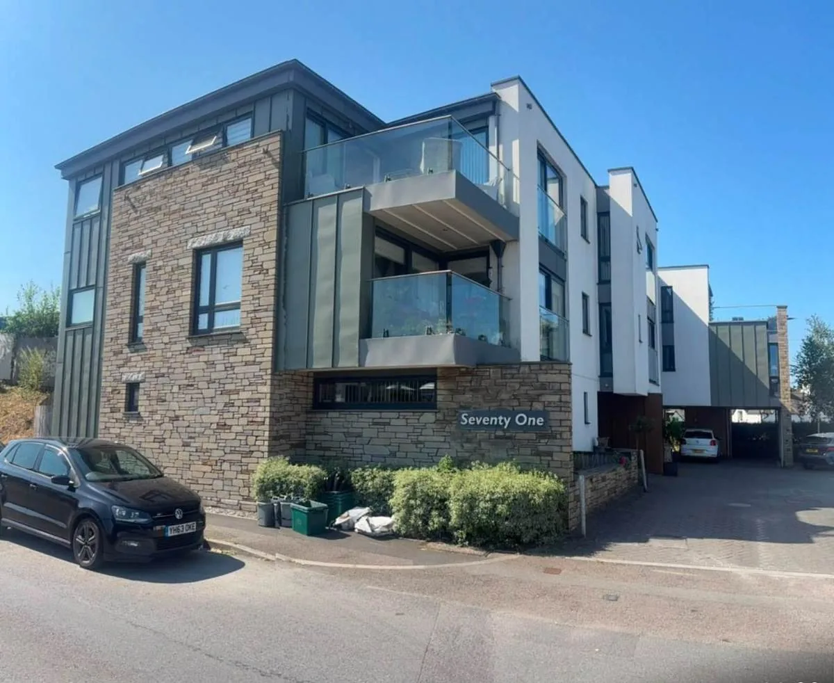
River Level, Not Groundwater, Drives Marlborough's Flood Risk
The Environment Agency operates a flood warning area named the River Kennet at Marlborough. Its published description covers the Kennet through the town, including the confluence with the River Og, and it contains 9.27 per cent of the built-up area. The upper Kennet alert covers 9.44 per cent and names the town as well. A River Og warning area clips a further third of a per cent at the northern edge. Two further areas come within a kilometre without touching the town. Despite the chalk stream setting, no groundwater flooding area covers any part of Marlborough; the nearest stops 3.66 kilometres away. The exposure here is fluvial, the opposite of Pewsey and Warminster a short distance away. For a block, the relevant question is river level rather than water rising through a floor slab, and insurers should be told whether the building is inside the Kennet warning area.
Low Radon, with Measurement Advised over 58 Per Cent
Low. Of the twelve one-kilometre squares over the built-up area, seven are class 2, covering 58 per cent of the town. There, 1 to 3 per cent of homes are at or above the action level, and the published advice is that measurement is advised. The remaining five are in the lowest band, where it is not. For a block, the square it sits in decides whether radon measurement belongs in the compliance programme.
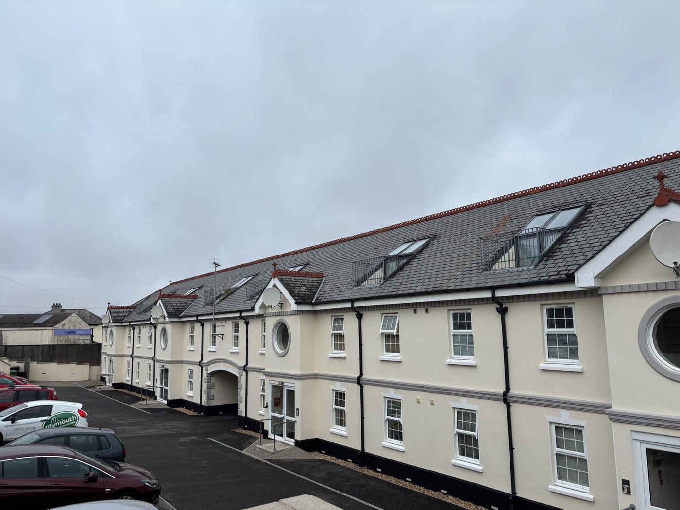
Three Article 4 Directions: Check Scope Before Boundary Work
Three Article 4 directions apply here. Only one of the three records what it removes: gates, fences, walls and other means of enclosure. For the other two, the rights field is blank in both the council's own layer and the national register. No sealing date or street list is published for any of the three. Their reference numbers suggest 1979, 1984 and 1985, but those are not confirmed dates. Between them they cover well under a quarter of one per cent of the town. The practical question is narrow, but for any boundary or external work it has to be put to the council before the work is specified.
Every Address Sits Inside the North Wessex Downs
Decided under the Wiltshire Core Strategy, adopted 20 January 2015, together with saved Kennet District Local Plan policies. These cover the prime shopping areas, the Devizes and Marlborough town centres, the riverside walks at Marlborough and Pewsey, areas of minimum change, replacement dwellings, recreation provision, outdoor sport facilities and allotments. The Marlborough area of special quality policy has been replaced by the Core Strategy's own character policies, so older material citing it is out of date. The emerging Wiltshire Local Plan reached examination in November 2024 but was withdrawn on 22 May 2026 under section 22 of the Planning and Compulsory Purchase Act 2004. Its replacement is not expected before 30 April 2029. The council states that the 2015 Core Strategy's policies are not automatically out of date and will continue to guide development. The Marlborough Area Neighbourhood Plan 2021 to 2036 was made on 27 March 2023. Its referendum on 23 March carried by 939 votes to 163, 84.8 per cent, on a turnout of 15.95 per cent. It covers three parishes, Marlborough, Mildenhall and Savernake, designated on 18 November 2020. The whole built-up area lies inside the North Wessex Downs National Landscape, and all 27 of the town's output areas are assigned to it. That is a live constraint on every address in Marlborough, and it applies to any external alteration or new flat a block proposes.
Service charge or accounts query? Email accounts@
Marlborough Questions
Is Groundwater Flooding a Concern in Marlborough?
No groundwater flooding area covers any part of Marlborough, the nearest stopping 3.66 kilometres away. The exposure is fluvial: the River Kennet at Marlborough warning area contains 9.27 per cent of the built-up area, and the upper Kennet alert 9.44 per cent. For a block here the relevant question is river level rather than water rising through a floor slab.
Which Plans Decide Applications for Our Building?
The Wiltshire Core Strategy, adopted 20 January 2015, with saved Kennet District policies and the Marlborough Area Neighbourhood Plan 2021 to 2036, made on 27 March 2023. The emerging Wiltshire Local Plan was withdrawn on 22 May 2026, with a replacement not expected before 30 April 2029. The former Marlborough area of special quality policy no longer survives.
Do We Need to Measure Radon in Marlborough?
Seven of the twelve one-kilometre squares over the town are class 2, covering 58 per cent of it. There, 1 to 3 per cent of homes are at or above the action level, and measurement is advised. The other five are in the lowest band, where it is not. The square the block sits in decides which advice applies.
Nearby Areas
Talk to Us About Your Building in Marlborough.
A free, no-obligation proposal, written so it can be circulated to a board.