
Block Management in Westbury
Most of the plan area sits in a greater horseshoe bat roost buffer.
Freeholders, RMCs and RTM companies in Westbury can turn to Plymouth Block Management for block, estate and leasehold management. Most of the neighbourhood plan area lies within the core roost buffer for greater horseshoe bats at Westbury Leigh, a real constraint on lighting and roof void works, and saved 2004 policies on flat conversions still apply. No Environment Agency warning area covers any part of the town.
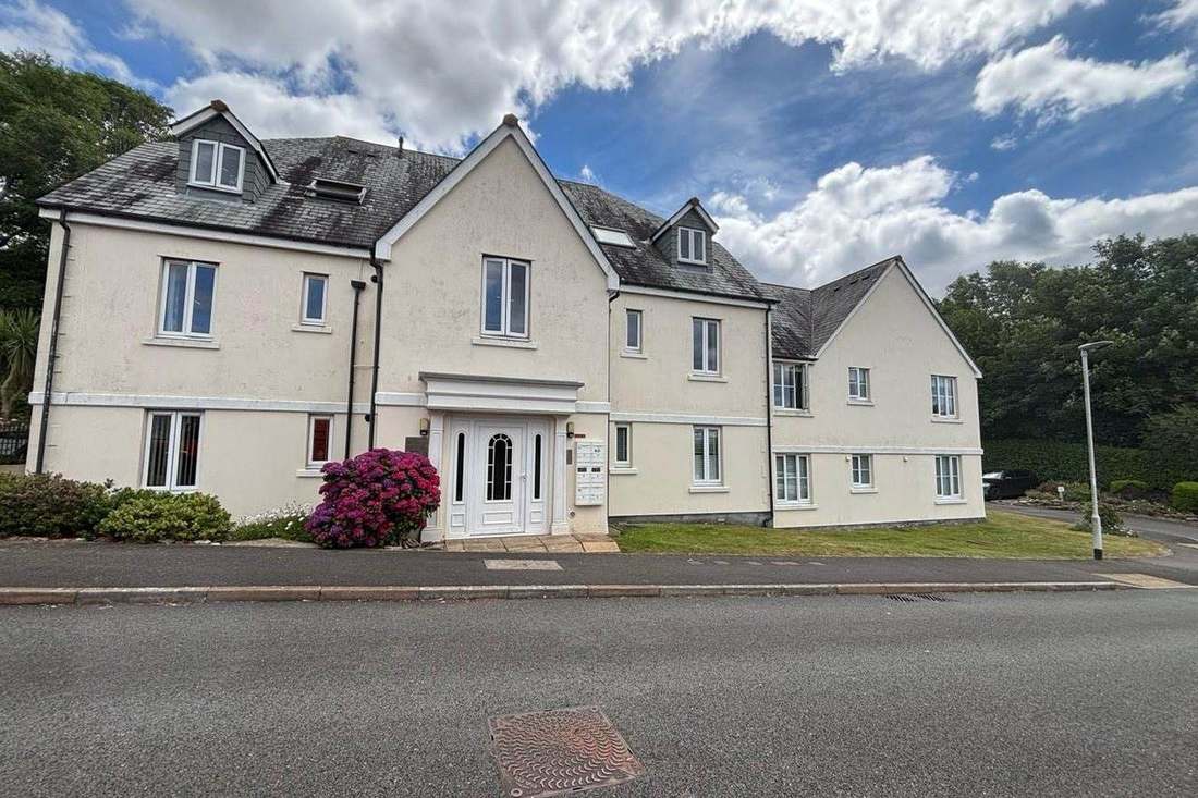
What We Would Put First for a Block in Westbury
Plan Roof and Lighting Works Around Bats
The neighbourhood plan records most of its area inside the four kilometre core roost buffer for greater horseshoe bats at Westbury Leigh. Before specifying roof void works or new external lighting we would build that constraint into the specification and programme.
Major works and Section 20Check Saved Policies Before Conversion Consents
Saved West Wiltshire policies from 2004 still cover flat conversions, upper floor uses in town centres and retail frontages. Before granting a lease consent for alterations or subdivision we would check the proposal against them.
ConsentsMeasure Radon in the Class 2 Half
Eight of seventeen squares, covering 54.9 per cent of the town, are class 2 where measurement is advised; the rest are the lowest band. For a block in a class 2 square we would recommend measurement in ground-floor communal areas.
ComplianceManaging a Block in Westbury at a Glance
- Local authority
- Wiltshire Council
- Authority type
- Unitary
- Building control
- Wiltshire Council Building Control
- County
- Wiltshire
- Fire and rescue service
- Dorset and Wiltshire Fire and Rescue Service
- Water and sewerage
- Wessex Water
- From our Plymouth office
- About 105 miles in a straight line
- Setting
- Inland
What It Costs to Move a Block in Westbury to Us
Management is a fixed annual fee, quoted for the building and agreed before we start. We take no commission and no third-party incentives, so the fee is the whole of what we earn from the building. Taking a block on carries a one-off start-up fee, set by size:
| Block size | Fee |
|---|---|
| Start-up fee, up to 10 units | £420.00 |
| Start-up fee, up to 25 units | £540.00 |
| Start-up fee, 50 units and above | £660.00 |
Taken from our published Additional Services price list, PBM Form #01-27 rev.6, effective 23 June 2025. All fees quoted are inclusive of VAT. See the full price list and how a handover works.
Bat Roost Buffer Constrains Lighting and Roof Void Works
Applications are decided under the Wiltshire Core Strategy, adopted 20 January 2015. Its Core Policy 32 makes Westbury a market town and provides for approximately 1,615 new homes across the community area to 2026. About 1,500 of them are at Westbury, including a strategic allocation of 250 dwellings at Station Road, together with 18.5 hectares of employment land. The strategy is explicit that this is a reduction in housing growth compared with historic trends, with the focus on facilities, services and job creation. Saved policies from the West Wiltshire District Plan first alteration of June 2004 continue to apply. Several bear directly on blocks: flat conversions, areas of minimum change, upper floor uses in town centres and the primary and secondary retail frontages. The emerging Wiltshire Local Plan reached examination in November 2024 but was withdrawn on 22 May 2026 under section 22 of the Planning and Compulsory Purchase Act 2004. Its replacement is not expected before 30 April 2029. The council states that the 2015 Core Strategy's policies are not automatically out of date and will continue to guide development. The Westbury Neighbourhood Plan 2022 to 2036 was made on 19 March 2024. The referendum on 14 March carried it by 1,371 votes to 163, 89 per cent, on a turnout of 12.42 per cent. Non-material corrections were made in April 2025. There is no Article 4 direction. The town is not in a National Landscape: the Cranborne Chase designation begins 4.32 kilometres away, and the escarpment above the town is in it. An air quality management area has been declared since 26 November 2001 over Haynes Road and Warminster Road, the A350 through the town, for nitrogen dioxide. The council announced in September 2025 that all eight of its air quality management areas had reached compliant levels and that revocation may follow within twelve months. As things stand it has not been revoked. The neighbourhood plan records that the majority of the area sits within the four kilometre core roost buffer for a greater horseshoe bat roost at Westbury Leigh. The roost is part of the Bath and Bradford on Avon Bats Special Area of Conservation. For a block, that is a real constraint on external lighting and on any works affecting roof voids.
Westbury North 18.3 Per Cent Flats, East Just 5.2
Census output areas inside the built-up area give 6,973 households with 756 in flats, 10.8 per cent. That is 517 in purpose-built blocks, 82 in a converted or shared house, 96 in another converted building and 61 over commercial premises. The three Westbury wards are essentially coterminous with the town, and the neighbouring Ethandune ward is rural. The internal contrast is sharp. Westbury North has 18.3 per cent of its households in flats against 5.2 per cent in Westbury East. Social renting follows the same pattern, at 24.7 per cent in Westbury West against 4.1 per cent in Westbury East. For converted flats and flats over shops, the leases need reading for how shared structure and insurance are split before a budget is set.
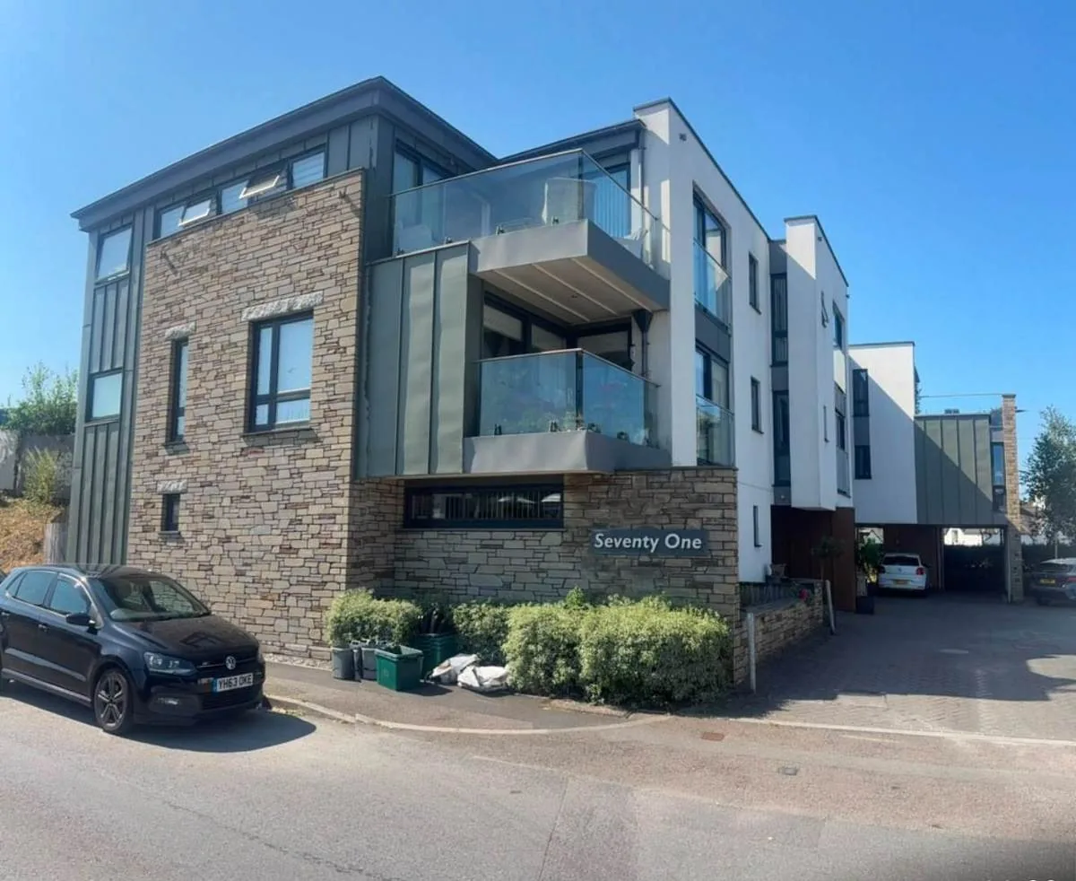
No Flood Warning Area over Any Part of Westbury
One Environment Agency area covers Westbury, the River Biss catchment alert, at 4.78 per cent of the built-up area. There is no flood warning area and no groundwater area over any part of the town. The Salisbury Plain groundwater alert and the River Biss warning area for Trowbridge each stop 60 metres from the built-up area. No flood alleviation scheme with a date and a cost exists for the town. The council's register of statutory flood investigations covers eight locations across the county and does not include Westbury. The made neighbourhood plan describes a multi-year project on the River Biss and its tributaries across Westbury and Trowbridge. It is presented as green and blue infrastructure rather than a defence scheme, and carries no date or cost. For most blocks flood is not the main insurance question, though a block near the Biss should confirm its position at renewal.
Little Scope for Article 4, with Most Traditional Windows Lost
One conservation area, designated on 11 July 1975 according to the council's own appraisal and neighbourhood plan. It is a tight town-centre designation of 21.7 hectares, all of it inside the built-up area, covering 4.3 per cent of the town. The appraisal is dated April 2023 and runs to 93 pages as an annexe to the made neighbourhood plan. It defines eleven character areas, from the All Saints environs and the Market Place through to Bitham Mill and Prospect Square. It finds very limited opportunity for Article 4 directions to be served on buildings within the conservation area, because almost all unlisted buildings have lost their traditional windows and doors. Westbury Leigh is not a conservation area. It is covered by an area of local heritage importance designated through the neighbourhood plan, which is a different and weaker instrument. For a block in the town centre, external works still need checking against conservation area controls before they are specified.
152 entries on the National Heritage List fall inside the parish, one Grade I and six Grade II*, of which 95 sit inside the conservation area. The neighbourhood plan names the higher-grade buildings. The Grade I is the parish church of All Saints, dating from about 1437 and standing at the centre of the conservation area. The Grade II* buildings are Edgar House in Church Street, Bank House and the Town Hall in the Market Place, Ferndale House in Alfred Street, Leigh House and the Phipps Mausoleum in the cemetery. The plan records the mausoleum as disused and continuing to deteriorate. The neighbourhood plan refers to three scheduled ancient monuments, while Historic England's data records eight in the parish, only one of which reaches the built-up area. Works to a listed block can need listed building consent, which should be settled before a specification is tendered.
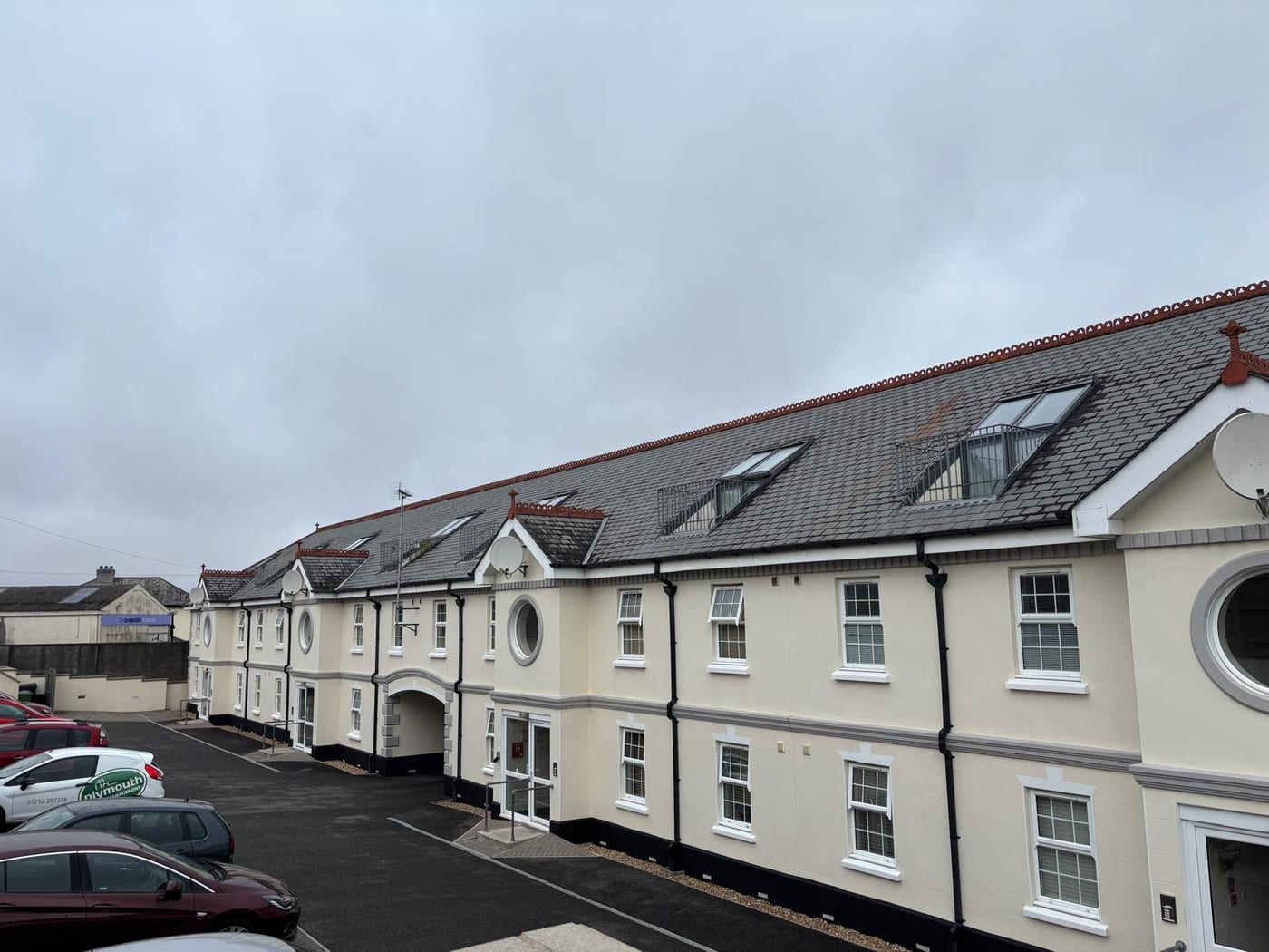
Radon Advice Differs Between Two Halves of the Town
Low, and split almost evenly. Of the seventeen one-kilometre squares over the built-up area, eight are class 2, covering 54.9 per cent of the town. There the maximum radon potential is 1 to 3 per cent of homes at or above the action level, and radon measurement is advised. The other nine are in the lowest band, covering the remaining 45.1 per cent, where measurement is not needed. The national advice therefore differs between the two halves of Westbury. A block in a class 2 square should have radon measured in its ground-floor communal areas.
Service charge or accounts query? Email accounts@
Westbury Questions
Is Westbury Leigh a Conservation Area?
No. Westbury Leigh is covered by an area of local heritage importance designated through the neighbourhood plan, which is a different and weaker instrument. The town's one conservation area, designated on 11 July 1975 by the council's account, is a tight 21.7 hectare centre with an April 2023 appraisal defining eleven character areas.
Is the A350 Air Quality Management Area Still in Force?
As things stand, yes. It has covered Haynes Road and Warminster Road since 26 November 2001 for nitrogen dioxide. The council announced in September 2025 that all eight of its air quality management areas had reached compliant levels and that revocation may follow within twelve months, but it has not been revoked.
What Happened to the Wiltshire Local Plan?
It reached examination in November 2024 but was withdrawn on 22 May 2026, with a replacement not expected before 30 April 2029. The council states that the 2015 Core Strategy's policies are not automatically out of date, so they continue to guide development alongside the Westbury Neighbourhood Plan, made on 19 March 2024.
Nearby Areas
Talk to Us About Your Building in Westbury.
A free, no-obligation proposal, written so it can be circulated to a board.