
Block Management in Trowbridge
Warning areas on the Biss and Paxcroft Brook name the streets at risk.
We take on block and estate management in Trowbridge for residents' management companies, RTM companies and freeholders, with Section 20 consultation and service charge accounts included. Two warning areas name the streets at risk: County Way and River Way on the Biss, and Heather Shaw Road to Albion Drive on the Paxcroft Brook and Lambrok Stream. Roughly a third of the town sits in radon class 2, where measurement is advised.

What We Would Put First for a Block in Trowbridge
Match Blocks to Named Warning Streets
The Paxcroft Brook and Lambrok Stream warning area names Heather Shaw Road, West Ashton Road, Lambrok Close, Berkeley Road, Acacia Crescent and Albion Drive. For a block on those streets we would record the position and give insurers an accurate flood history.
InsuranceRecommend Radon Measurement Where Advised
Six squares covering 31.9 per cent of Trowbridge are class 2, where measurement is advised, and one more is class 3. For a block in those parts of town we would recommend radon measurement in ground-floor communal areas.
ComplianceBudget for the Town's Conversions
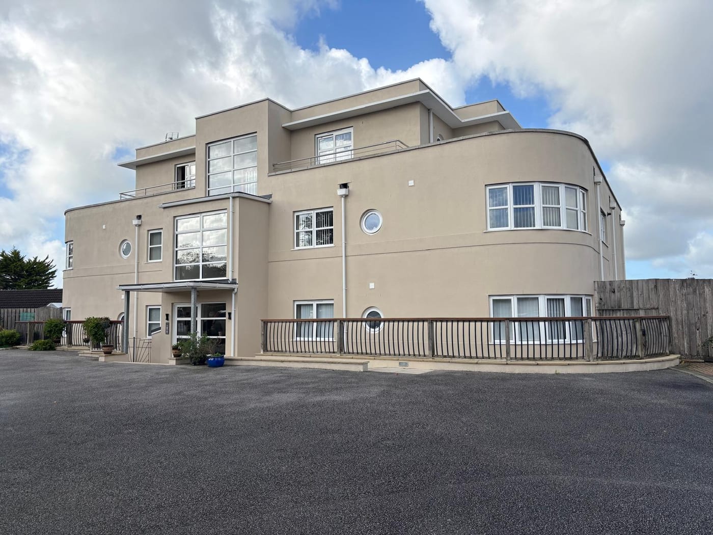
Across Trowbridge 401 flats are in a converted or shared house and 222 in another converted building. For a converted block we would set the budget and reserve fund around the building's actual construction rather than a purpose-built template.
Reserve fundsManaging a Block in Trowbridge at a Glance
- Local authority
- Wiltshire Council
- Authority type
- Unitary
- Building control
- Wiltshire Council Building Control
- County
- Wiltshire
- Fire and rescue service
- Dorset and Wiltshire Fire and Rescue Service
- Water and sewerage
- Wessex Water
- From our Plymouth office
- About 107 miles in a straight line
- Setting
- Inland
What It Costs to Move a Block in Trowbridge to Us
Management is a fixed annual fee, quoted for the building and agreed before we start. We take no commission and no third-party incentives, so the fee is the whole of what we earn from the building. Taking a block on carries a one-off start-up fee, set by size:
| Block size | Fee |
|---|---|
| Start-up fee, up to 10 units | £420.00 |
| Start-up fee, up to 25 units | £540.00 |
| Start-up fee, 50 units and above | £660.00 |
Taken from our published Additional Services price list, PBM Form #01-27 rev.6, effective 23 June 2025. All fees quoted are inclusive of VAT. See the full price list and how a handover works.
Warning Areas Name Streets on the Biss and Paxcroft
Three watercourses run through Trowbridge, the River Biss, Paxcroft Brook and the Lambrok Stream, and four Environment Agency areas cover part of the town. The Biss catchment alert covers 4.32 per cent of the built-up area. The River Biss at Trowbridge warning area covers 1.17 per cent and names County Way, River Way, the library and the area around Town Bridge. The Paxcroft Brook and Lambrok Stream warning area covers 0.81 per cent. It names Heather Shaw Road, West Ashton Road, Lambrok Close, Berkeley Road, Acacia Crescent and Albion Drive. A fourth covers land upstream and downstream at 0.75 per cent. The historic record is long. Eleven accepted flood outlines intersect the town, all on main rivers and all attributed to channel capacity being exceeded with no raised defences, running from 1925 to 1979. The largest was the Biss flood of May 1932, which covered 36.6 hectares inside what is now the built-up area. Defences here are real but modest and concentrated on the Paxcroft Brook. There are about 670 metres of wall to standards of 5 and 100 years, 93 metres of embankment to 100 years, and a single 4 metre demountable section. On the Biss there are about 492 metres of wall. No named flood alleviation scheme with a date and a cost is published for the town. A block on a named street should give insurers an accurate flood history and be registered for warnings.
Flats Concentrate in Central and Adcroft Wards
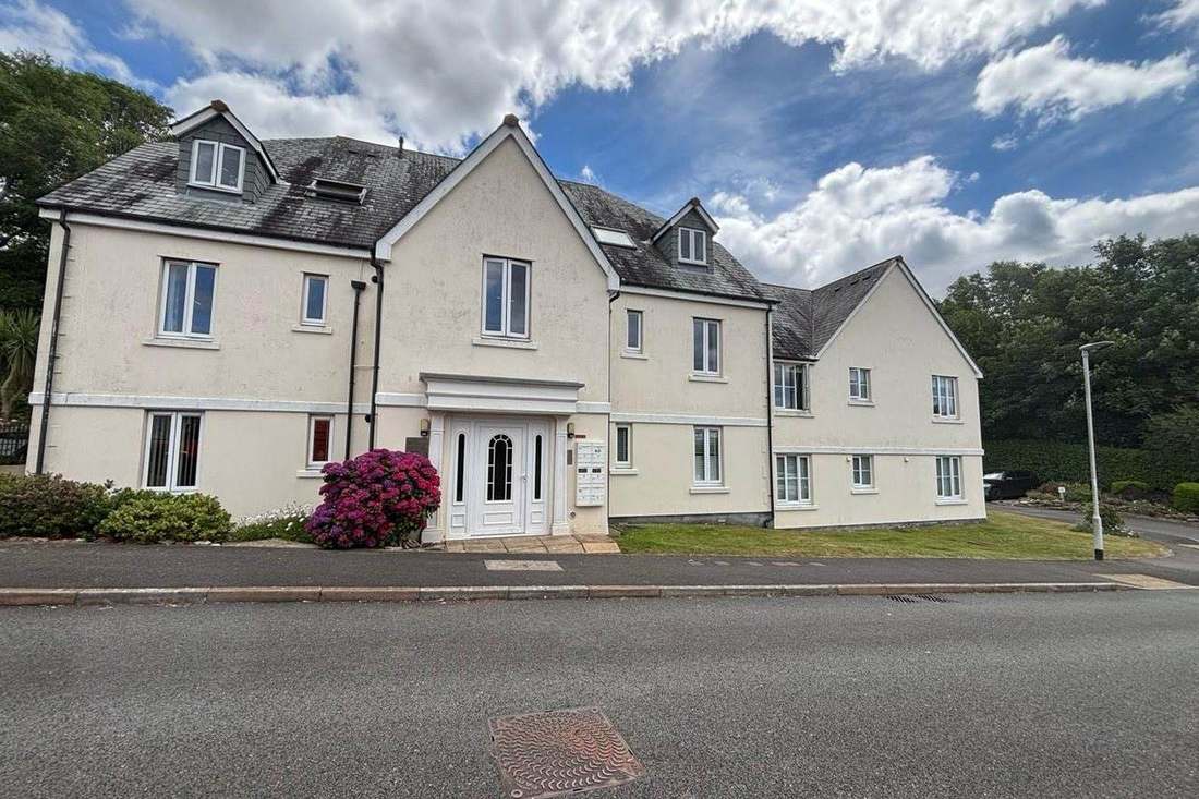
The census output areas inside the built-up area hold 18,656 households with 2,935 in flats, 15.7 per cent. These are made up of 2,222 in purpose-built blocks, 401 in a converted or shared house, 222 in another converted building and 90 over commercial premises. Nine wards touch the town and eight of them sit wholly inside it; the exception is Holt, only 44 per cent of which is in Trowbridge. The flats concentrate sharply in two wards, Trowbridge Central and Trowbridge Adcroft, which between them hold well over a third of the town's flatted households. Converted blocks need budgets and reserve funds based on their actual construction rather than a purpose-built template.
All Six Grade I Entries Sit in One Conservation Area
Five conservation areas fall inside the built-up area, three of them carrying the Trowbridge name and two at Hilperton. The Trowbridge and Trowbridge Newtown areas are recorded as designated in 1975, though only the year is published. The Hilperton Road and the two Hilperton areas carry no designation date at all. Of the council's 244 conservation area records, only 21 carry a designation date. All five are recorded as having an appraisal, but no adoption date could be confirmed for any of them. Together they cover about 8 per cent of the town, so most Trowbridge addresses are outside any designation. A block's position should still be confirmed before external works are specified.
356 entries on the National Heritage List fall inside the built-up area, six Grade I, seventeen Grade II* and 333 Grade II. 224 of them are concentrated in the main Trowbridge conservation area, including all six Grade I buildings. Historic England's data and the council's agree on this count to within one entry. The council publishes no narrative total. A block in one of these listed buildings needs listed building consent for works that affect its character, and most of them sit in the main conservation area.
Radon Measurement Is Advised Across a Third of Trowbridge
Mostly the lowest band, with a meaningful minority above it. Of the 24 one-kilometre squares over the built-up area, seventeen are in the lowest class, covering 68.0 per cent of the town. There, all parts of the square are in the lowest band with under 1 per cent of homes at or above the action level, and measurement is not advised. Six squares are class 2 covering 31.9 per cent, where measurement is advised, and one square is class 3. So roughly a third of Trowbridge sits in the band where the national advice reverses. A block in that third should have ground floor communal areas measured.
That is national advice about the ground, not about the building. The same map excludes basements, cellars and underground spaces at every band, so an enclosed plant room, undercroft or lower-ground flat is still worth a look even here, and whatever is found belongs with the compliance record.
Core Strategy Policies Still Guide Decisions After Withdrawal
Decided under the Wiltshire Core Strategy, adopted 20 January 2015 for the period to 2026 against a requirement of 42,000 homes. The emerging Wiltshire Local Plan was published for consultation on 27 September 2023 and submitted for examination in November 2024. The inspectors wrote to the council in February and March 2026. It withdrew the plan on 22 May 2026 under section 22 of the Planning and Compulsory Purchase Act 2004. A replacement process began with a scoping consultation in September 2026, and its adoption is not expected before 30 April 2029. The council's position on what remains in force is the practical answer for any live application. The council states that the Core Strategy's policies are not automatically out of date for decision making, although its plan period runs to 2026. They will continue to guide development. There is no made neighbourhood plan for Trowbridge. A joint plan with North Bradley covering Drynham Lane and Ashton Park West is in preparation. Its terms of reference were approved in May 2024, with a plan period stated as running to 2037. None of the county's 48 Article 4 areas reaches the town. One nearby direction exists at North Bradley, but it does not reach the built-up area. No Article 4 direction adds extra controls to a block here, and alterations are judged against the Core Strategy.
Service charge or accounts query? Email accounts@
Trowbridge Questions
How Long Is Trowbridge's Flood Record?
Eleven accepted flood outlines intersect the town, all on main rivers and all attributed to channel capacity being exceeded, running from 1925 to 1979. The largest was the Biss flood of May 1932, covering 36.6 hectares inside today's built-up area. Defences are modest: about 670 metres of wall on the Paxcroft Brook and about 492 metres on the Biss.
Is There a Trowbridge Neighbourhood Plan?
Not a made one. A joint plan with North Bradley covering Drynham Lane and Ashton Park West is in preparation, with terms of reference approved in May 2024 and a plan period to 2037. Decisions are made under the Wiltshire Core Strategy, adopted 20 January 2015, after the emerging Wiltshire Local Plan was withdrawn on 22 May 2026.
Do Most Trowbridge Blocks Sit in a Conservation Area?
No. Five conservation areas fall inside the built-up area, three carrying the Trowbridge name and two at Hilperton, but together they cover about 8 per cent of the town. The main Trowbridge area holds 224 of the town's 356 listed entries, including all six Grade I buildings. There is no Article 4 direction in the town.
Nearby Areas
Talk to Us About Your Building in Trowbridge.
A free, no-obligation proposal, written so it can be circulated to a board.