
Block Management in Warminster
Groundwater alerts over nearly two thirds of the town, and a live flat conversion policy.
Warminster blocks can be handed to us in full: leasehold management, budgets, compliance and works for RMCs, RTM companies and freeholders. The Salisbury Plain groundwater alert covers 62.63 per cent of the town, and a separate warning area exists simply for groundwater flooding at Warminster. Saved policy H16 on flat conversions still applies, and Warminster East holds 72 flats in commercial buildings.

What We Would Put First for a Block in Warminster
Plan for Groundwater as Well as River
The Wylye Valley at Warminster groundwater warning area covers 6.29 per cent of the town, and the Upper Wylye warning area names Henfords Marsh, Boreham and Water Lane. We would confirm the block's position and reflect it in insurance placement.
InsuranceClarify Shared Structure over Shops
Warminster East holds 72 flats in commercial buildings, which raises questions of shared structure, insurance and access. We would establish the repairing split from the leases before setting budgets.
Service chargesCheck H16 Before Alteration Consents
Saved policy H16 from the West Wiltshire District Plan first alteration, adopted in June 2004, governs flat conversions and remains live. We would check it before advising on lease consents for alterations that touch the number or layout of flats.
ConsentsMeasure Radon in the Class 3 Square
Sixteen of the 21 squares are in the lowest band, but one reaches class 3, where the published advice is that measurement is advised. For a block in that square we would arrange radon measurement in the communal areas.
ComplianceManaging a Block in Warminster at a Glance
- Local authority
- Wiltshire Council
- Authority type
- Unitary
- Building control
- Wiltshire Council Building Control
- County
- Wiltshire
- Fire and rescue service
- Dorset and Wiltshire Fire and Rescue Service
- Water and sewerage
- Wessex Water
- From our Plymouth office
- About 103 miles in a straight line
- Setting
- Inland
What It Costs to Move a Block in Warminster to Us
Management is a fixed annual fee, quoted for the building and agreed before we start. We take no commission and no third-party incentives, so the fee is the whole of what we earn from the building. Taking a block on carries a one-off start-up fee, set by size:
| Block size | Fee |
|---|---|
| Start-up fee, up to 10 units | £420.00 |
| Start-up fee, up to 25 units | £540.00 |
| Start-up fee, 50 units and above | £660.00 |
Taken from our published Additional Services price list, PBM Form #01-27 rev.6, effective 23 June 2025. All fees quoted are inclusive of VAT. See the full price list and how a handover works.
Groundwater and River Warnings Both Reach the Town
Warminster has both a fluvial and a groundwater flood warning area containing part of the town. The groundwater flood warning area for the Wylye Valley at Warminster covers 6.29 per cent of the built-up area, and its published description is simply groundwater flooding for Warminster. Above it, the Salisbury Plain groundwater alert covers 62.63 per cent of the town, nearly two thirds. On the river side, the Upper Wylye warning area from Brixton Deverill to Warminster covers 2.39 per cent and names Henfords Marsh, Boreham and Water Lane among its localities. The Wylye and tributaries alert covers 3.42 per cent. Two labels mislead. A second groundwater area for the Wylye Valley comes within 90 metres without containing any part of the town. The Lower Wylye warning area from Warminster to Wilton contains none of the town despite carrying its name. For a block, groundwater as well as river risk should be confirmed at the address and disclosed when insurance is placed.
Flats over Shops Cluster in Warminster East
Census output areas inside the built-up area give 7,945 households, with 1,027 in flats, 12.9 per cent. That is 780 in purpose-built blocks, 98 in a converted or shared house, 72 in another converted building and 77 over commercial premises. The concentration is in Warminster East, where 20.6 per cent of households are flatted. The ward holds 72 flats in commercial buildings and 46 in other converted buildings. Ward totals need care elsewhere: Warminster North and Rural has 11 of its 18 output areas in the town, and Wylye Valley has just one of eighteen. Flats over shops raise a distinct set of management questions about shared structure, insurance and access. For such a block, the leases should be read for how those costs are split with the commercial unit before a budget is set.

Three Conservation Areas to Check Before External Works
Three conservation areas overlap the built-up area: Warminster, Boreham Road and Bishopstrow. Wiltshire County Council originally designated the Warminster area in 1973 and the Bishopstrow area in 1988, though only the years are published. No date is published for the Boreham Road area. The appraisal is dated April 2007 and was produced by the former West Wiltshire District Council. It records that boundary changes were adopted on 13 September 2006. Bishopstrow is a designation in the adjoining parish, but its boundary overlaps the built-up area. For a block inside any of the three, external works such as windows, roofs and frontages need checking against conservation controls before a works specification is drawn up.
224 entries on the National Heritage List fall inside the built-up area: one Grade I, twelve Grade II* and 211 Grade II. The Grade I is Portway House. The Grade II* entries include the minster church of St Denys, the Church of St John the Evangelist, Warminster School, The Chantry, Byne House, the Pound Street malthouse and the obelisk. No scheduled monument falls inside the built-up area. Battlesbury Camp is in the parish but outside the settlement, and Scratchbury and Cley Hill are outside Warminster parish entirely. The edge of the Grade I registered park at Longleat clips the south-western edge of the built-up area. Works to a listed block can need listed building consent, which should be settled before a works specification is issued.
One Class 3 Square Where Measurement Is Advised
Radon potential is low across most of the town. Of the 21 one-kilometre squares over the built-up area, sixteen are in the lowest band, covering 76 per cent of the town. Four are class 2 and one is class 3. In a class 3 square the maximum radon potential is 3 to 5 per cent of homes at or above the action level, and the published advice is that measurement is advised. A block in that square should have radon measured in its communal areas as part of the health and safety review.
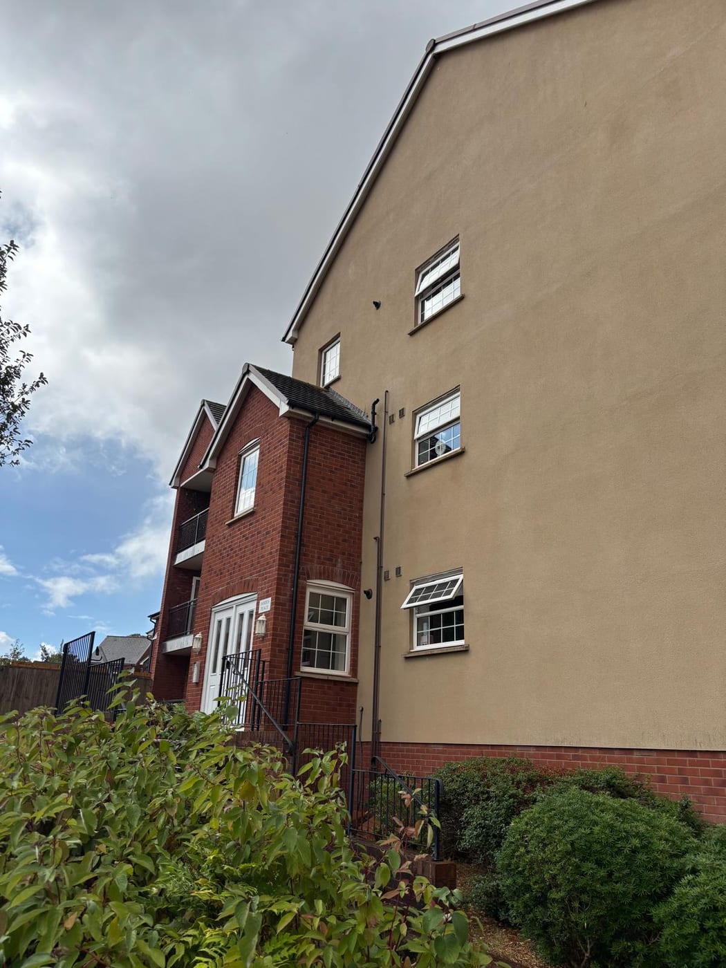
Saved Policy H16 on Flat Conversions Is Still Live
Applications are decided under the Wiltshire Core Strategy, adopted 20 January 2015, which makes Warminster a market town. It provides for approximately 2,060 new homes across the community area to 2026, about 1,920 of them at Warminster itself. That includes a west Warminster urban extension of 900 dwellings and six hectares of employment land, brought forward through a masterplanning process agreed between the community, the local planning authority and the developer. Saved policies from the West Wiltshire District Plan first alteration, adopted in June 2004, continue to apply. One is directly relevant to block management: policy H16 on flat conversions remains live. Three Warminster housing sites are saved allocations, at West Street, behind Westbury Road and at Station Road. The Core Strategy's own heritage policies have replaced the old district ones. The emerging Wiltshire Local Plan reached examination in November 2024 but was withdrawn on 22 May 2026 under section 22 of the Planning and Compulsory Purchase Act 2004. Its replacement is not expected before 30 April 2029. The council states that the 2015 Core Strategy's policies are not automatically out of date and will continue to guide development. The Warminster Neighbourhood Plan was made on 23 November 2016 after a referendum on 10 November carried by 1,660 votes to 477, 77.7 per cent on a turnout of 15.84 per cent. A replacement running to 2038 has completed its first consultation but is not made. There is no Article 4 direction. About 6.2 per cent of the built-up area, on the south-western edge, lies inside the Cranborne Chase and West Wiltshire Downs National Landscape. For a block, policy H16 is the one to check before consenting to any alteration that changes the number or layout of flats.
Service charge or accounts query? Email accounts@
Warminster Questions
Does the Lower Wylye Warning Area Cover Warminster?
No, despite the label. The Lower Wylye warning area from Warminster to Wilton contains none of the town, and a second Wylye Valley groundwater area comes within 90 metres without containing any of it. The areas that do contain part of the town are the Wylye Valley groundwater warning area, the Salisbury Plain alert, the Upper Wylye warning area and the Wylye and tributaries alert.
Is the Warminster Neighbourhood Plan Being Replaced?
A replacement running to 2038 has completed its first consultation but is not made. The current plan was made on 23 November 2016 after a referendum carried by 1,660 votes to 477, 77.7 per cent on a 15.84 per cent turnout. The Wiltshire Core Strategy of 20 January 2015 continues to guide development after the emerging local plan was withdrawn on 22 May 2026.
Is Our Block Inside the National Landscape?
Only if it is on the south-western edge. About 6.2 per cent of the built-up area lies inside the Cranborne Chase and West Wiltshire Downs National Landscape, so part of Warminster is inside it and the town as a whole is not. The edge of the Grade I registered park at Longleat also clips the south-western edge of the built-up area.
Nearby Areas
Talk to Us About Your Building in Warminster.
A free, no-obligation proposal, written so it can be circulated to a board.