
Block Management in Bideford
Three conservation areas, an Article 4 road with no listed buildings, and two flood mechanisms
Plymouth Block Management offers block, estate and leasehold management in Bideford for residents' management companies, RTM companies and freeholders. The Environment Agency runs separate tidal and fluvial warning areas here, so a block on The Quay and one on Northam Road face different flood mechanisms. In Bideford North, 677 of the ward's 2,780 households are in flats.

What We Would Put First for a Block in Bideford
Map Each Block to Its Flood Warning Area
The Environment Agency runs a tidal area naming The Quay and Victoria Park, another for East-the-Water and Wooder Wharf, and a fluvial area for the Kenwith Stream. We would register the block with the right one and reflect it in the insurance placement.
InsuranceCheck Clovelly Road Addresses Before Specifying Works
Clovelly Road carries an Article 4 direction, so a scheme there can need consent that the same scheme two streets away does not. We would obtain any consent before specifying external works and build the requirement into the Section 20 specification.
Major works and Section 20Budget for Listed Fabric in the Older Cores
Historic England records 211 entries in the Bideford area, nine of them grade II star, and 19 more in Bideford East including one grade I. For a listed block we would schedule an early survey and plan the consent route into the reserve fund.
Reserve fundsReview Fire Safety in Converted Houses
Bideford North has 161 flats in converted houses, against 34 in Bideford East and 10 in Bideford West. For a converted building there we would commission a fire risk assessment and keep its findings on the compliance record.
Fire risk assessmentsManaging a Block in Bideford at a Glance
- Local authority
- Torridge District Council
- Authority type
- District, under the county council
- Building control
- Torridge District Council Building Control
- County
- Devon
- Fire and rescue service
- Devon and Somerset Fire and Rescue Service
- Water and sewerage
- South West Water
- From our Plymouth office
- About 45 miles in a straight line
- Setting
- Inland
What It Costs to Move a Block in Bideford to Us
Management is a fixed annual fee, quoted for the building and agreed before we start. We take no commission and no third-party incentives, so the fee is the whole of what we earn from the building. Taking a block on carries a one-off start-up fee, set by size:
| Block size | Fee |
|---|---|
| Start-up fee, up to 10 units | £420.00 |
| Start-up fee, up to 25 units | £540.00 |
| Start-up fee, 50 units and above | £660.00 |
Taken from our published Additional Services price list, PBM Form #01-27 rev.6, effective 23 June 2025. All fees quoted are inclusive of VAT. See the full price list and how a handover works.
The Quay and Northam Road Flood by Different Mechanisms
The risk is both tidal and fluvial, and the Environment Agency runs separate warning areas for each. The tidal area for the North Devon coast at Bideford names The Quay and Victoria Park. A second tidal area covers the Torridge from Weare Giffard down to the town, including East-the-Water and Wooder Wharf. The fluvial area for the Kenwith Stream names Northam Road, Kingsley Road, Alexandra Terrace, Elmdale Road, Newton Road, Meadowville Road, Copps Close and Stanhope Terrace. A block on The Quay and a block on Northam Road are exposed to different mechanisms on different timescales, so insurance and flood planning should follow the block's own warning area.
Bideford North Holds Most of the Town's Converted Flats
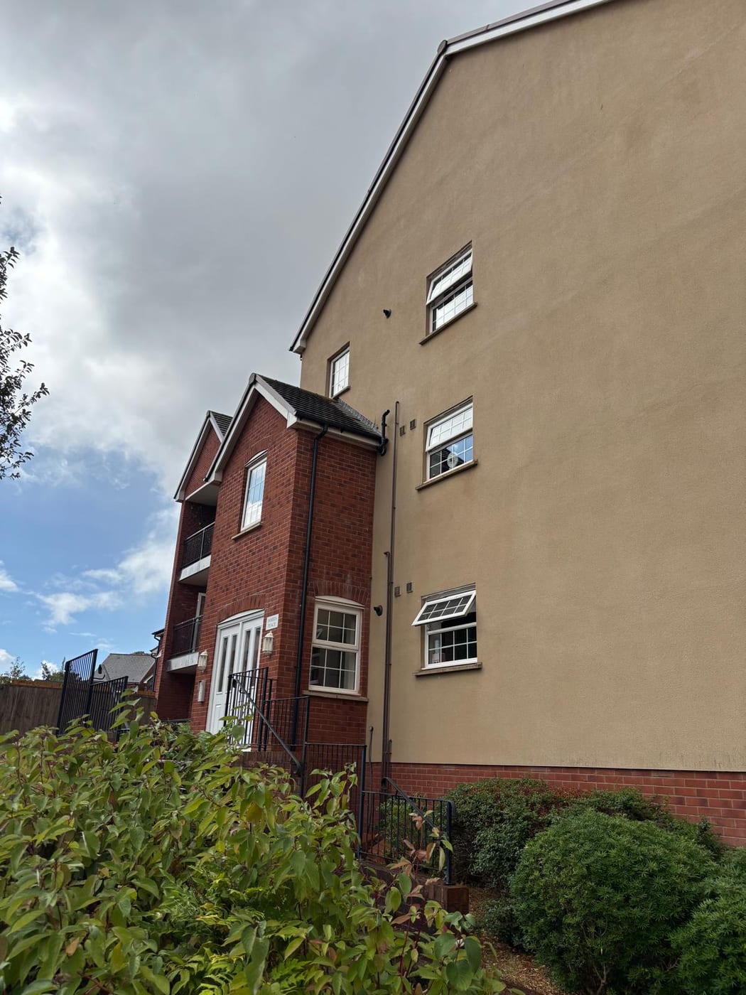
The split between Bideford's wards is stark. Across the four Bideford wards at the 2021 Census, 915 flats were purpose-built and 245 were in a converted or shared house. Bideford North stands out: 677 of its 2,780 households are flats, 24.4 per cent. 161 of those are conversions, against 34 in Bideford East and 10 in Bideford West. For a converted building in Bideford North, fire separation between flats is the first thing a fire risk assessment should test.
Three Conservation Areas, 211 List Entries in the Oldest
Bideford has three conservation areas. Bideford was designated in 1972 and revised three times, most recently in February 2009. Bideford East was designated in November 1984 and revised in 2004, and Clovelly Road in November 1998. Historic England's list records 211 entries inside the Bideford area, nine of them grade II star, and a further 19 in Bideford East, including one grade I. For a block in any of the three, external works that change its appearance should be checked against the conservation area before they are specified.
Listed buildings are concentrated in the two older areas rather than spread across the town. The Clovelly Road conservation area, designated in 1998, contains no listed buildings at all. That is why it carries an Article 4 direction instead: control there comes from the direction, not from listing. For a block in the two older areas, its listing should be checked before any works to the fabric are specified.
Clovelly Road Is Controlled by Article 4, Not Listing
Torridge has an Article 4 direction covering Clovelly Road, matching the conservation area of the same name. It is the reason a scheme on that road can need consent that the identical scheme two streets away does not.

A Designated Neighbourhood Area but No Plan Made Yet
Decided under the joint North Devon and Torridge Local Plan 2011 to 2031, adopted by Torridge on 29 October 2018. A neighbourhood area was designated for the town in February 2018 but no plan has been made. There is an Article 4 direction over Clovelly Road, so permitted development rights are restricted there and not elsewhere in the town.
Service charge or accounts query? Email accounts@
Bideford Questions
Which Flood Warning Area Covers a Block on the Quay in Bideford?
The Quay and Victoria Park are named in the Environment Agency's tidal warning area for the North Devon coast at Bideford. East-the-Water and Wooder Wharf sit in a second tidal area covering the Torridge from Weare Giffard. Streets such as Northam Road, Kingsley Road and Meadowville Road fall in the separate fluvial area for the Kenwith Stream, so the answer depends on the street.
Why Does Clovelly Road Have an Article 4 Direction When It Has No Listed Buildings?
The Clovelly Road conservation area, designated in November 1998, contains no listed buildings at all. Control there comes from the Article 4 direction instead, which restricts permitted development rights on that road and nowhere else in the town. A block on Clovelly Road can therefore need consent for a scheme that the identical scheme two streets away would not.
Does Bideford Have a Neighbourhood Plan?
Not yet. A neighbourhood area was designated for the town in February 2018, but no plan has been made. Applications are decided under the joint North Devon and Torridge Local Plan 2011 to 2031, which Torridge District Council adopted on 29 October 2018. The Clovelly Road Article 4 direction applies on top of it.
Nearby Areas
Talk to Us About Your Building in Bideford.
A free, no-obligation proposal, written so it can be circulated to a board.