
Block Management in Dursley
Cotswold limestone radon across 98 per cent of the town, and only light river risk.
We offer block management, estate management and leasehold services to residents' management companies, RTM companies and freeholders in Dursley. Six of the seven kilometre squares over the town are radon class 5, covering about 98 per cent of it, while only 1.85 per cent sits in Flood Zone 3. Flats make up 18.1 per cent of households in Dursley ward.
What We Would Put First for a Block in Dursley
Recommend Radon Measurement in Communal Areas
Class 5 covers about 98 per cent of Dursley and there is no lowest-band ground anywhere in the town, so measurement is advised. We would arrange radon measurement in ground floor communal areas and keep the results in the compliance record.
ComplianceCheck Conservation Area Status by Address
The Dursley and Woodmancote conservation areas cover about 9 per cent of the built-up area and neither has an adopted statement. We would confirm whether a block falls inside before specifying external works, and obtain consents where it does.
ConsentsPlan Reserves for Purpose-Built Blocks
Of 590 flats in Dursley ward, 447 are in purpose-built blocks. For a block of that kind we would set the budget and reserve fund around a planned maintenance cycle and schedule regular inspections to keep it current.
Reserve fundsManaging a Block in Dursley at a Glance
- Local authority
- Stroud District Council
- Authority type
- District, under the county council
- Building control
- Stroud District Council Building Control
- County
- Gloucestershire
- Fire and rescue service
- Gloucestershire Fire and Rescue Service
- Water and sewerage
- Severn Trent Water
- From our Plymouth office
- About 119 miles in a straight line
- Setting
- Inland
What It Costs to Move a Block in Dursley to Us
Management is a fixed annual fee, quoted for the building and agreed before we start. We take no commission and no third-party incentives, so the fee is the whole of what we earn from the building. Taking a block on carries a one-off start-up fee, set by size:
| Block size | Fee |
|---|---|
| Start-up fee, up to 10 units | £420.00 |
| Start-up fee, up to 25 units | £540.00 |
| Start-up fee, 50 units and above | £660.00 |
Taken from our published Additional Services price list, PBM Form #01-27 rev.6, effective 23 June 2025. All fees quoted are inclusive of VAT. See the full price list and how a handover works.
Cotswold Limestone, Not the Forest, Drives Dursley's Radon
High, and on Cotswold limestone rather than the Forest of Dean. Of the seven one-kilometre squares over the built-up area, six are class 5, covering about 98 per cent of the town by area. In class 5 the maximum radon potential is 10 to 30 per cent of homes at or above the action level, and radon measurement is advised. The seventh is class 4 at 5 to 10 per cent. There is no lowest-band ground anywhere in Dursley, so radon measurement in ground-floor communal areas should be part of every block's compliance record.
Most Dursley Flats Are in Purpose-Built Blocks
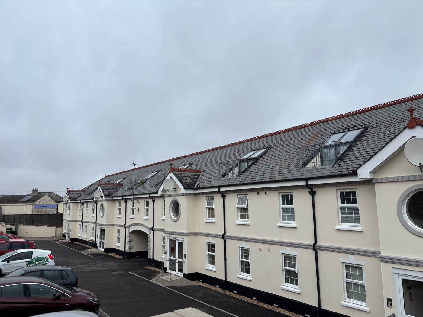
The Dursley ward held 3,251 households at the 2021 Census with 590 in flats, 18.1 per cent. They are made up of 447 in purpose-built blocks, 66 in a converted or shared house, 28 in another converted building and 49 over commercial premises. Almost all of the ward, 3,246 of its 3,251 households or 99.8 per cent, lies inside the built-up area, so these are effectively the town's own figures. Most flats are in purpose-built blocks, where planned maintenance and reserve funds carry most of the management work.

Just 1.85 Per Cent of Dursley Is Flood Zone 3
Fluvial on the River Cam, and lightly so. The only Environment Agency designation reaching the town is the catchment alert for the Rivers Frome and Cam, which overlaps 4.69 per cent of the built-up area. No flood warning area covers Dursley at all. The Environment Agency flood map puts 2.85 per cent of the town in Flood Zone 2 and 1.85 per cent in Flood Zone 3, and records the modelling as fluvial only with no tidal component. The alert area publishes no street list, and no defence scheme with a date or a cost is published either. Flood is a light insurance factor for most blocks, but a block near the Cam should be checked against the flood zones.
Two 1989 Conservation Areas, Neither with a Statement
Two conservation areas overlap the town, both designated on 23 November 1989: Dursley itself and Woodmancote. Neither has an adopted conservation area statement, and no boundary changes have been made to either since designation. Between them they cover about 9 per cent of the built-up area, the Dursley area accounting for 8.26 per cent and Woodmancote 0.81, so most of the town sits outside both. Without a statement to work from, external works on a block inside either area should be agreed with the council before specification.
83 entries on the National Heritage List fall inside the built-up area, one Grade I, three Grade II* and 79 Grade II. Where a block is itself listed, listed building consent is needed for works affecting its character, so status should be confirmed before works are specified.

No Article 4, and a Town Centre Outside the AONB
Decided under the Stroud District Local Plan, adopted 19 November 2015 and running to 2031, with a review in progress. The Dursley Neighbourhood Development Plan was made on 21 February 2019. The neighbouring Cam plan was made separately on 28 July 2021. There is no Article 4 direction. The council's list names only five conservation areas with directions in force, at Wotton-under-Edge, Bisley, Frampton on Severn and two parts of Stroud, and neither Dursley nor Woodmancote is among them. Only 6.27 per cent of the built-up area lies inside the Cotswolds National Landscape, on the eastern upslope edge, and the town centre falls outside it. Most blocks in the town therefore face no Article 4 or National Landscape constraint on external works.
Service charge or accounts query? Email accounts@
Dursley Questions
Is Dursley in the Cotswolds AONB?
Only at its edge. Just 6.27 per cent of the built-up area lies inside the Cotswolds National Landscape, on the eastern upslope edge, and the town centre falls outside it.
Does the River Cam Put Our Dursley Block at Flood Risk?
The risk is light. The Environment Agency puts 2.85 per cent of the town in Flood Zone 2 and 1.85 per cent in Flood Zone 3, modelled as fluvial only with no tidal component. No flood warning area covers Dursley, and the Rivers Frome and Cam catchment alert overlaps just 4.69 per cent of the built-up area. No street list is published.
Which Planning Documents Apply to a Block in Dursley?
The Stroud District Local Plan, adopted 19 November 2015 and running to 2031, with a review in progress, and the Dursley Neighbourhood Development Plan made on 21 February 2019. The neighbouring Cam plan, made 28 July 2021, is separate. Neither the Dursley nor the Woodmancote conservation area carries an Article 4 direction.
Nearby Areas
Talk to Us About Your Building in Dursley.
A free, no-obligation proposal, written so it can be circulated to a board.