
Block Management in Lydney
Lowest band by the harbour, top radon band on the rising ground toward the forest.
Residents' management companies, RTM companies and freeholders in Lydney can hand us the block, estate and leasehold management of their flats. Radon here ranges across five classes, from the lowest band by the harbour to class 6 on the rising ground toward the forest. Lydney is also tidal on the Severn Estuary, with 7.74 per cent of the town in Flood Zone 3 and four Environment Agency areas reaching it.
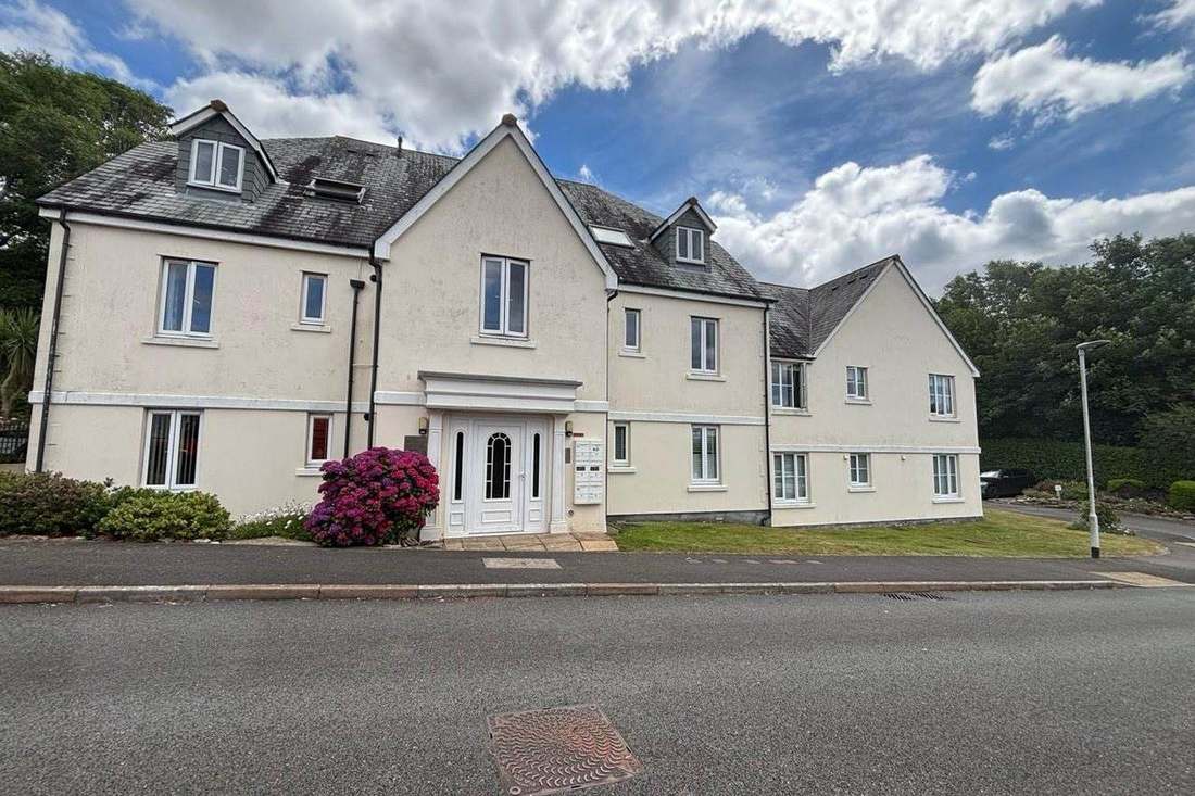
What We Would Put First for a Block in Lydney
Measure Radon by Address, Not by Town
Lydney has two class 6 squares on the rising ground toward the forest, while about 45 per cent of the town by the harbour is lowest band. We would confirm the block's square and, where measurement is advised, arrange it in ground-floor communal areas.
ComplianceCheck the Tidal and River Warning Areas
Four Environment Agency areas reach Lydney, including the River Lyd at Lydney warning area and the tidal Sharpness and Lydney Harbour area. None publishes a street list, so we would check the block against each area's map and reflect the result at insurance renewal.
InsuranceConfirm Conservation Area Status Early
The single conservation area, designated on 4 August 2005, covers 3.94 per cent of the town, and its appraisal is undated. We would confirm whether the block lies inside it before specifying external works, noting that Aylburton has a separate area.
ConsentsManaging a Block in Lydney at a Glance
- Local authority
- Forest of Dean District Council
- Authority type
- District, under the county council
- Building control
- Forest of Dean District Council Building Control
- County
- Gloucestershire
- Fire and rescue service
- Gloucestershire Fire and Rescue Service
- Water and sewerage
- Severn Trent Water
- From our Plymouth office
- About 117 miles in a straight line
- Setting
- Inland
What It Costs to Move a Block in Lydney to Us
Management is a fixed annual fee, quoted for the building and agreed before we start. We take no commission and no third-party incentives, so the fee is the whole of what we earn from the building. Taking a block on carries a one-off start-up fee, set by size:
| Block size | Fee |
|---|---|
| Start-up fee, up to 10 units | £420.00 |
| Start-up fee, up to 25 units | £540.00 |
| Start-up fee, 50 units and above | £660.00 |
Taken from our published Additional Services price list, PBM Form #01-27 rev.6, effective 23 June 2025. All fees quoted are inclusive of VAT. See the full price list and how a handover works.
Five Radon Classes Across One Town, Harbour to Forest
Radon spans five classes across Lydney, so a town-centre reading would misrepresent most of it. Of the 13 one-kilometre squares over the built-up area, four are in the lowest band and cover about 45 per cent of the town, down by the harbour, where radon measurement is not advised. Three are class 2, covering a further 34 per cent. Two are class 4, two class 5 and two class 6, the top band on the scale, where maximum radon potential is greater than 30 per cent of homes at or above the action level. The class 6 squares are on the rising ground toward the forest. A block's own square decides whether measurement is advised.
That is national advice about the ground, not about the building. The same map excludes basements, cellars and underground spaces at every band, so an enclosed plant room, undercroft or lower-ground flat is still worth a look even here, and whatever is found belongs with the compliance record.
Purpose-Built Blocks Make Up Most of Lydney's Flats
Lydney spans three wards, so the clearest figures come from the town's own boundary. Within it there are 4,250 households with 385 in flats, 9.1 per cent, made up of 280 in purpose-built blocks, 49 in a converted or shared house, 25 in another converted building and 31 over commercial premises. Adding the three wards together would give 469 flats and 9.9 per cent, overstating the town by 84 flats, most of them at Aylburton and in rural Lydney West. Lydney East fits the town well at 93.1 per cent, Lydney North almost exactly but holds nine flats in total, and Lydney West and Aylburton is only 72.7 per cent inside the town. Most blocks here are purpose-built.
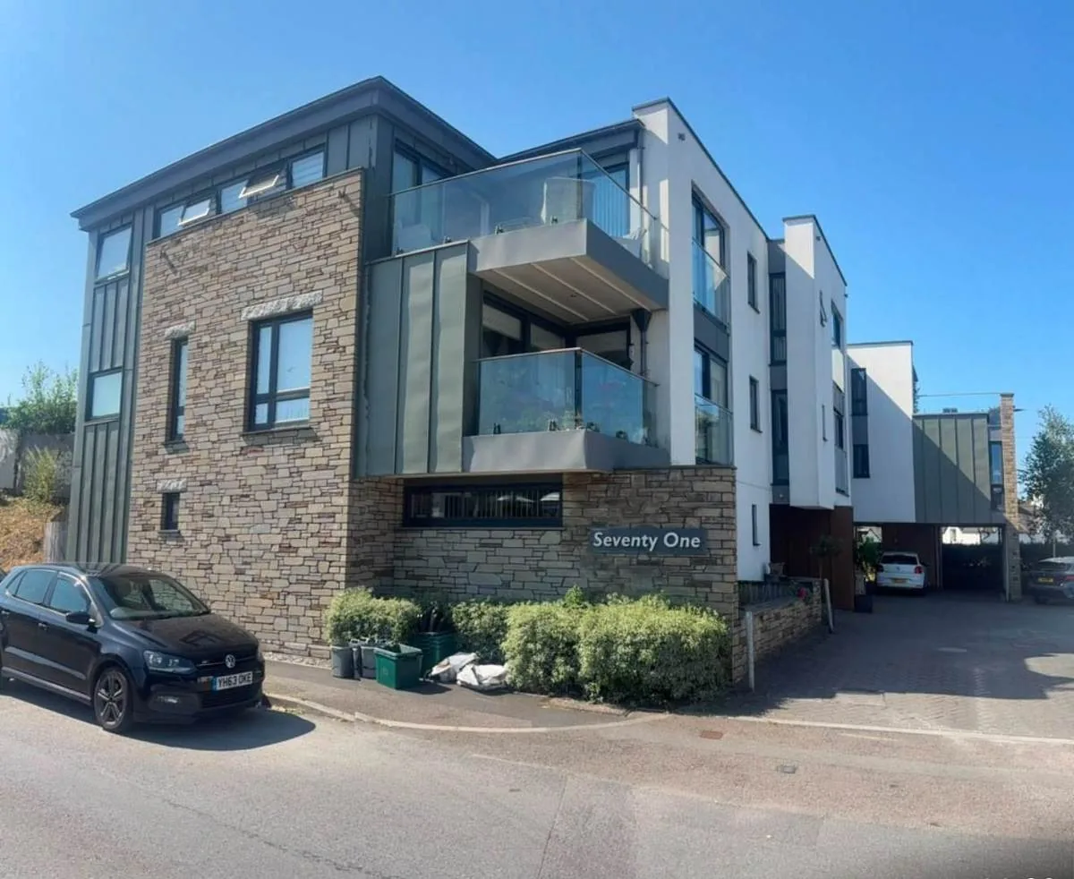
Four Flood Warning and Alert Areas Reach the Town, Two of Them Tidal
Lydney has flood warning coverage with a tidal component. Four Environment Agency areas contain part of the built-up area, and two of them are tidal. The Forest of Dean rivers alert, covering the Lyd and Cinderford Brook, reaches 11.37 per cent of the town. The Severn estuary alert from Gloucester to Sharpness reaches 10.29 per cent. The River Lyd at Lydney warning area covers 7.09 per cent, and the tidal warning area for Sharpness and Lydney Harbour on the Severn Estuary covers 5.19 per cent. The flood map puts 9.48 per cent of the town in Flood Zone 2 and 7.74 per cent in Flood Zone 3, and the modelling includes tidal and combined fluvial and tidal models. None of the four areas publishes a street list, and no defence scheme with a date or cost is published. Lydney is best described as estuarine. The Environment Agency treats it as tidal on the Severn Estuary, but there is no heritage coast designation over the town and the estuary's conservation designations lie seaward of it. For a block, its own position on the flood map should be checked and reflected in insurance disclosures.
A Largely Twentieth Century Town with 52 Listed Entries
One conservation area, designated 4 August 2005, reflecting a town whose fabric is largely twentieth century. A character appraisal is published, though it carries no date on the council's page. The area covers just 3.94 per cent of the built-up town, because Lydney's built-up area is mostly modern. Aylburton next door has its own conservation area, designated 31 January 1990, and is a separate village. For a block in Lydney, conservation area status should be confirmed before external works are specified.
52 entries on the National Heritage List fall inside the built-up area: one Grade I, three Grade II* and 48 Grade II. That is consistent with a town built mostly in the last century. Listed status is a check to make before works rather than a frequent constraint on blocks here.
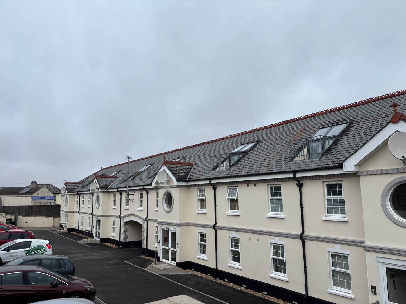
A Made Neighbourhood Plan and No Article 4 Direction
Decided under the Forest of Dean Core Strategy, adopted 23 February 2012, and the Allocations Plan adopted in June 2018, with a Local Plan to 2046 emerging. The Lydney Neighbourhood Development Plan was made on 1 March 2016 following a referendum on 18 February 2016. In it 1,022 voted yes and 163 no, 86.2 per cent in favour, on a turnout recorded as 17 per cent of registered electors. There is no Article 4 direction and no overlap with the Cotswolds or Wye Valley National Landscapes. The town is not inside the statutory forest: the core strategy describes Lydney as spanning an area between the harbour and the rising ground adjoining the statutory forest, in contrast to Cinderford, which lies largely within it. Works to a block are judged against these plans without any Article 4 or National Landscape restriction.
Service charge or accounts query? Email accounts@
Lydney Questions
Does the Lydney Neighbourhood Plan Apply to Work on Our Block?
Yes. The Lydney Neighbourhood Development Plan was made on 1 March 2016 after a referendum on 18 February 2016 in which 1,022 voted yes and 163 no, 86.2 per cent in favour. It sits alongside the Forest of Dean Core Strategy of 2012 and the 2018 Allocations Plan. There is no Article 4 direction and no National Landscape overlap.
How Much of Lydney Is in a Flood Zone?
The flood map puts 9.48 per cent of the town in Flood Zone 2 and 7.74 per cent in Flood Zone 3. The modelling includes tidal and combined fluvial and tidal sources. No defence scheme with a date or cost is published, so the block's own position on the map matters.
How Many Flats Are There in Lydney?
Within the town's built-up area there are 4,250 households with 385 in flats, 9.1 per cent, of which 280 are in purpose-built blocks. Adding the three wards together would give 469 flats and overstate the town by 84, most of them at Aylburton and in rural Lydney West.
Nearby Areas
Talk to Us About Your Building in Lydney.
A free, no-obligation proposal, written so it can be circulated to a board.