
Block Management in Honiton
Radon readings that run from class 1 to class 4 within one town
We provide block, estate and leasehold management for residents' management companies, RTM companies and freeholders across Honiton. Radon potential here varies from class 1 to class 4, so the advice depends on the address rather than the town. The Gissage Stream warning area names the High Street and Mill Street, and 136 listed buildings share just 90 list entries, so one consent can reach several properties.

What We Would Put First for a Block in Honiton
Check Radon at the Block's Own Address
The map shows class 1 at the Gissage Stream gauge, where measurement is not advised, and class 3 at the St Michael's ward centroid, where it is. We would check the block's own square and arrange communal-area measurement where advised.
CompliancePlace Insurance with Sewer Flooding Disclosed
The water company records 30 hydraulic sewer flood incidents in EX14, and the Gissage Stream warning area names the High Street, Mill Street, King Street and Fairfield Gardens. We would place insurance with that exposure disclosed and handle any claims.
InsuranceCoordinate Consents Across Shared List Entries
In the conservation area 136 listed buildings sit under 90 list entries, so one consent decision routinely reaches more than one property. We would obtain listed building consent before specifying works and coordinate with owners under the same entry.
Major works and Section 20Budget Without Waiting for a Scheme
Honiton appears on no council or agency flood scheme list, and four county council flood investigations were recorded between 2011 and 2021. We would set the reserve fund to cover resilience repairs rather than assume a defence is coming.
Reserve fundsManaging a Block in Honiton at a Glance
- Local authority
- East Devon District Council
- Authority type
- District, under the county council
- Building control
- East Devon District Council Building Control
- County
- Devon
- Fire and rescue service
- Devon and Somerset Fire and Rescue Service
- Water and sewerage
- South West Water
- From our Plymouth office
- About 51 miles in a straight line
- Setting
- Inland
What It Costs to Move a Block in Honiton to Us
Management is a fixed annual fee, quoted for the building and agreed before we start. We take no commission and no third-party incentives, so the fee is the whole of what we earn from the building. Taking a block on carries a one-off start-up fee, set by size:
| Block size | Fee |
|---|---|
| Start-up fee, up to 10 units | £420.00 |
| Start-up fee, up to 25 units | £540.00 |
| Start-up fee, 50 units and above | £660.00 |
Taken from our published Additional Services price list, PBM Form #01-27 rev.6, effective 23 June 2025. All fees quoted are inclusive of VAT. See the full price list and how a handover works.
Radon Class Depends on the Address, Not the Town
Radon varies sharply across Honiton, so it should be checked by address rather than by town. Across the kilometre squares covering Honiton the UKHSA and BGS map shows five squares at class 1, five at class 2, six at class 3 and four at class 4. The maximum radon potential therefore ranges from under one per cent to 5 to 10 per cent within the town. At the Gissage Stream gauge the class is 1 and measurement is not advised; at the St Michael's ward centroid it is class 3 and measurement is advised. For a block, the compliance check starts with its own square.
That is national advice about the ground, not about the building. The same map excludes basements, cellars and underground spaces at every band, so an enclosed plant room, undercroft or lower-ground flat is still worth a look even here, and whatever is found belongs with the compliance record.
St Paul's Ward Holds Most of Honiton's Flats
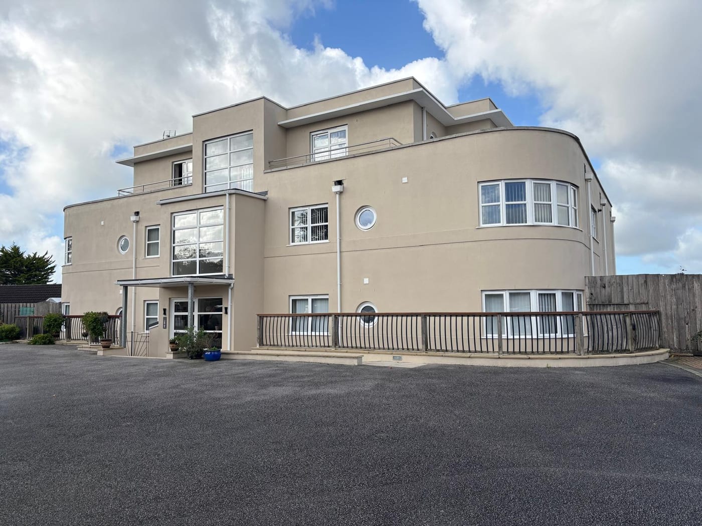
At the 2021 Census 695 of the 5,498 households across the two Honiton wards were flats, 12.6 per cent. Of those, 524 were purpose-built, 64 in a converted or shared house, 35 in another converted building and 72 over commercial premises. St Paul's carries the concentration despite being the smaller ward, with 408 flats in 2,369 households, so most of the town's flats are found there.
The Gissage Stream and the Sewers Both Flood Honiton
Fluvial and sewer together. The Environment Agency's warning area for the Gissage Stream names the High Street, Mill Street, King Street, Fairfield Gardens, Jerrard Close, Whitebridges and the bowling club. The council's 2024 strategic flood risk assessment lists Honiton among seven settlements where risks to people, property and infrastructure are focused. It records four separate county council flood investigations between 2011 and 2021. Sewer flooding is a named problem: the water company records 30 hydraulic flood incidents in the EX14 postcode district. There is no flood alleviation scheme; Honiton appears on no council or agency scheme list. For a block, both river and sewer flooding need disclosing to insurers, and reserves should not assume a defence is coming.
136 Listed Buildings Share Only 90 List Entries
One area, designated in 1972, comprising mainly the two main frontages to the High Street and part of New Street towards the former parish church. Its appraisal, published in 1999, counts 136 individually listed buildings inside the area across 90 separate list entries, plus 51 on the council's local list. Because 136 buildings share 90 entries, a single consent decision routinely reaches more than one property, so works to one block may need coordinating with neighbouring owners.

Strategy 23 Applies, with No Neighbourhood Plan Made
Decided under the East Devon Local Plan 2013 to 2031, adopted on 28 January 2016, with a town-specific policy, Strategy 23. There is no made neighbourhood plan; the area was designated on 26 August 2015. The district's only Article 4 direction is at The Byes in Sidmouth and does not reach Honiton. Works to a block are judged against the local plan and Strategy 23, with no Article 4 restriction on permitted development.
Service charge or accounts query? Email accounts@
Honiton Questions
Is Radon Measurement Advised for a Block in Honiton?
It depends on the address. Across the squares covering Honiton the map shows five at class 1, five at class 2, six at class 3 and four at class 4. At the Gissage Stream gauge measurement is not advised; at the St Michael's ward centroid it is. Quoting a single band for the whole town would be wrong.
Is There a Flood Alleviation Scheme in Honiton?
No. Honiton appears on no council or agency scheme list. The council's 2024 strategic flood risk assessment lists it among seven settlements where risks to people, property and infrastructure are focused, and the water company records 30 hydraulic flood incidents in the EX14 postcode district, so sewer flooding sits alongside the Gissage Stream.
Does Honiton Have a Neighbourhood Plan or an Article 4 Direction?
Neither. The neighbourhood area was designated on 26 August 2015 but no plan has been made, so applications are decided under the East Devon Local Plan 2013 to 2031 and its town policy, Strategy 23. East Devon's only Article 4 direction is at The Byes in Sidmouth and does not reach Honiton.
Nearby Areas
Talk to Us About Your Building in Honiton.
A free, no-obligation proposal, written so it can be circulated to a board.